Brutal Cold to Kick-off 2018

Just like 2017 ended, 2018 will start out very cold and this trend will continue the rest of the week. We know it gets cold in Wisconsin in winter, but to put this cold snap in perspective, here are some facts:
*FOUR overnight low temps below zero (all of last winter only TWO)
*TWO single digit high temps (all of last winter only ONE)
*NINE straight days below 32 degrees (all of last winter the longest was EIGHT – with at least SIX more likely)
*FORTY-ONE degrees was our high temperature last New Year’s Day. Today’s high won’t make it out of the single digits!
Plus, the National Weather Service has continued the Wind Chill Advisory, statewide, until noon on Tuesday! Coldest chills are expected late tonight into Tuesday morning of -15 to -25°.

So what is causing this cold air mass? Strong high pressure with a digging trough is allowing for cold air to continue to spill in from the north. The temperatures north are MUCH with the shorter daylight and lower sun angle – this together along with a gusty northwest-west wind drags in the colder air.

A Wind Chill Advisory runs until noon Monday with the feels like temperatures down to 20 to 30 degrees below zero. It only takes 30 minutes or less to get frost bite in these conditions. Please take care of yourself; keep an eye on the elderly, your neighbors, and bring your pets indoors.
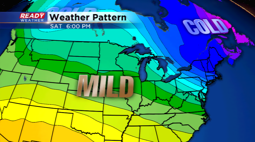
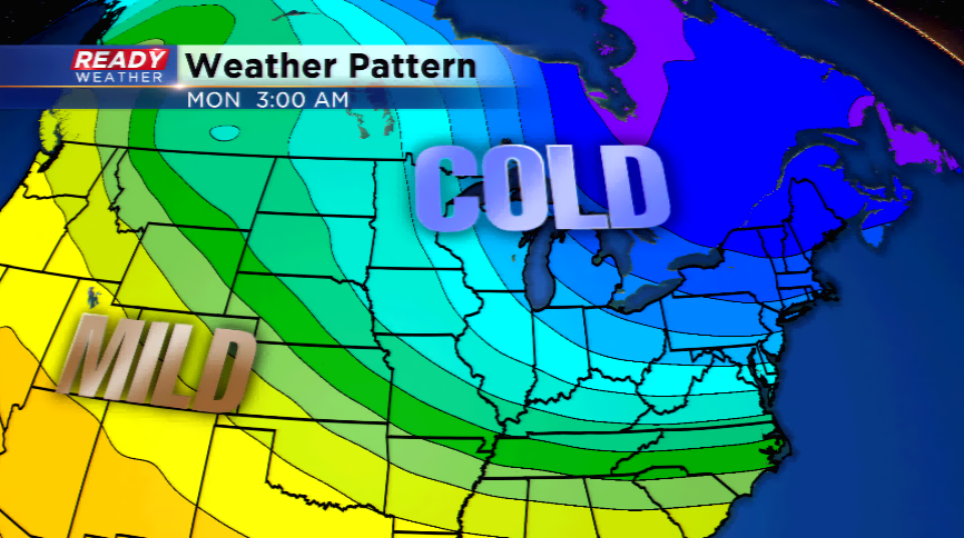
There is end in sight with highs likely increasing into the 20s by late this weekend and early next week.