Heavy rainfall expected tonight. Flash Flood Watch issued.
Posted: Oct 5, 2018 5:47 PM CDT
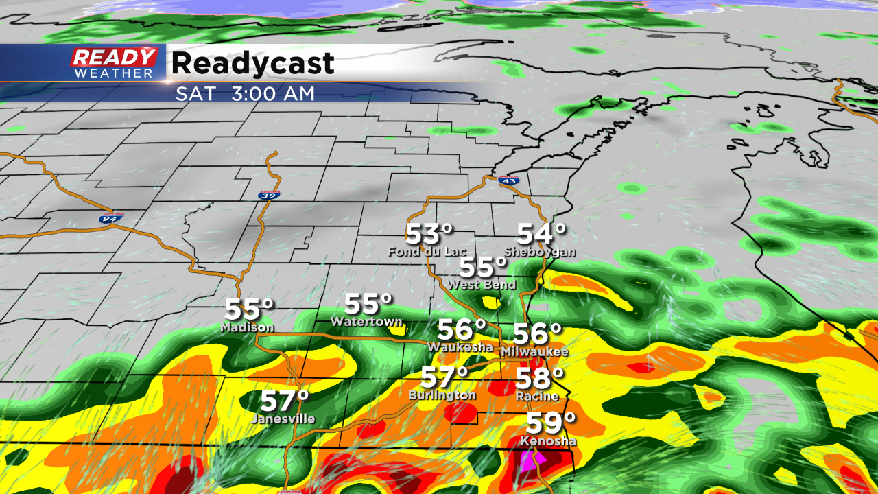
After steady morning rain we had a nice break this afternoon. Most areas picked up between 0.10" to 0.40" of rain this morning. Overnight scattered showers and storms are likely to develop across southeastern Wisconsin, especially along and south of I-94. A flash flood watch has been issued for most of the area until Saturday afternoon. The heaviest rain will likely hug the border of Illinois and Wisconsin.
While severe weather isn't anticipated tonight, locally heavy rainfall between 1" to 2" is possible. Streams and rivers are susceptible to more flooding. Already this October the area has picked up over 2" of rainfall.
Scattered showers will linger Saturday morning before giving way to a cloudy sky with highs in the lower 60s.