Rain and storms for the weekend....strong to severe possible?
While the traditional severe weather season is primarily during the summer months, late fall can become active with a fast moving jetstream aloft. That jetstream helps to pull warm unstable air from the Gulf of Mexico north, and cool dry air from Canada south. The air movement creates fronts, and distinct fronts during the fall can create strong to severe storms.
Right now the models are hinting at a chance for this to occur on Sunday afternoon and evening! Moisture and lift look to be plentiful for Sunday; however, the instability remains in question.
You need explosive instability from surface heating to help spawn severe storms. The lower sun angle creates a challenge in November. Temperatures will likely climb into the 60s on Sunday, but cloud cover could limit the heating.
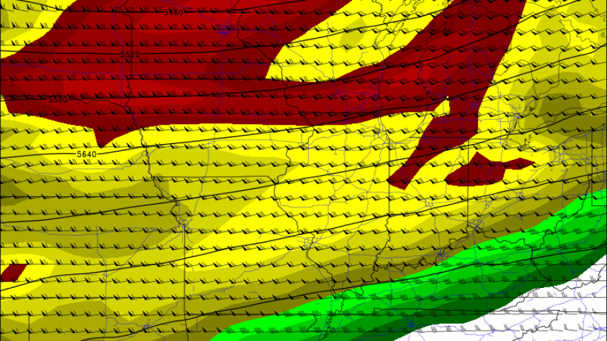
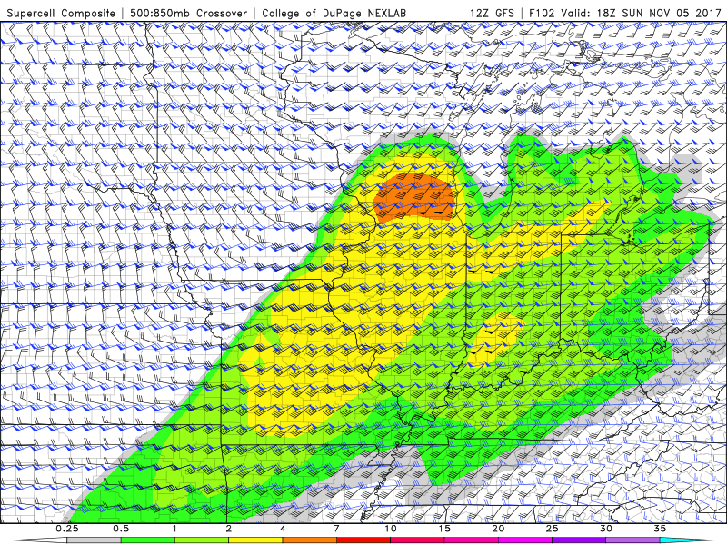
The graphic to the right shows the overall wind shear across southern Wisconsin by Sunday afternoon. If storms can fire they would be in a favorable environment to produce hail and damaging winds. Isolated tornadoes would also be possible, but right now it's way too early to speculate.
A lot could happen from now until then, so we will continue to monitor this as we get you ready for the weekend!