Severe storm potential on Tuesday
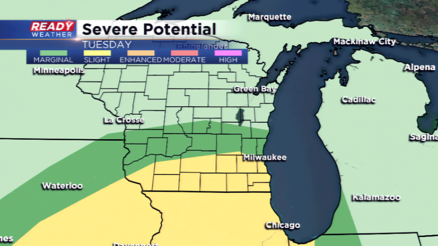
It wouldn’t be late June in Wisconsin if we weren’t tracking either a heat wave or severe weather and it is severe weather this time on the menu. All eyes will be on Tuesday with a strong upper-level low and favorable dynamics for severe thunderstorms to develop.
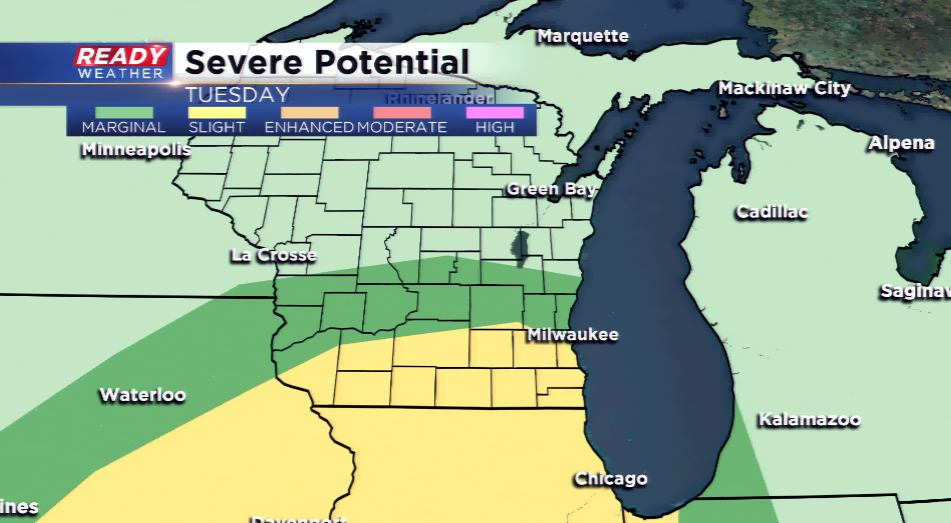
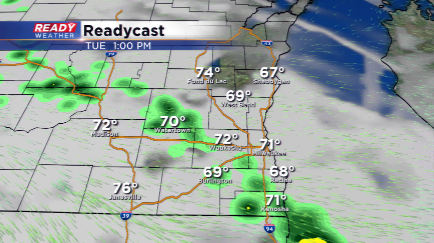
The setup could bring two rounds of storms to the area tomorrow; the first will be in the morning, and the second looks to be more potent. A warm front will move northward into the area bringing shear and the possibility of instability. Our severe weather potential on Tuesday afternoon and evening will hinge on what happens in the morning; if the storms stick around long enough in the morning, this could eat away at any threats of storms.
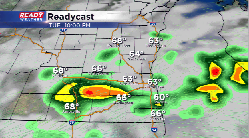
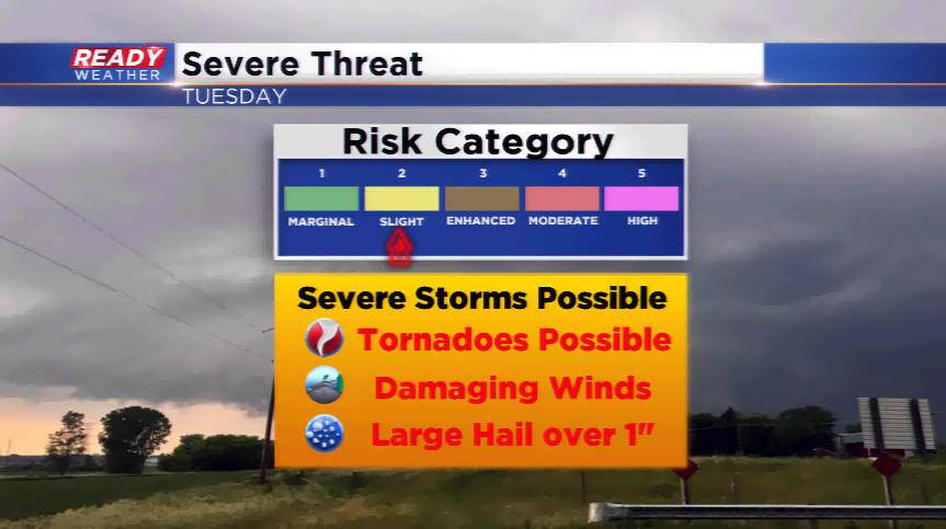
At this time, the greatest threat of severe weather appears to be from I-94 and south. The Storm Prediction has highlighted that area for a *slight* risk of severe weather, which means the threat of large hail, damaging winds, and even tornadoes. Please make sure you have ways of getting weather information on Tuesday and keep an eye on the skies!
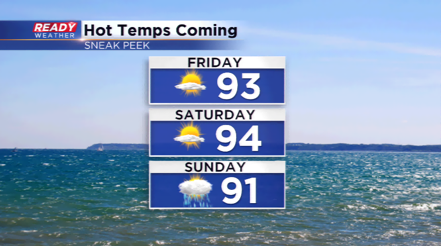
It could get hot this weekend! Heads up for 90s by Friday!