Warmer today, cooler air coming soon!
Besides areas of morning fog, today should be fantastic. It will be a touch muggier with highs getting back to about 80 degrees. The last time we hit the average high or 80 degrees was back on the 22nd of the month. With the current trend, temperatures will end the month below average for the first time since May and only the second time in 2017.
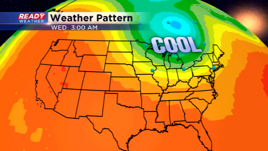
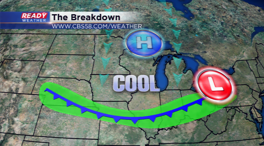
It is going to feel a lot more like fall for the rest of the week. A cold front will sweep through the region later today and tonight. Not only will this spark showers and storms, but the front will usher in cooler and drier air. Severe weather is not expected with this front. Highs will make an effort to stay in the 60s for both Thursday and Friday. The weekend will feature a gentle warm up once again. Saturday, Sunday, and Labor Day all will make a run at 80 degrees.
Keep an eye on the forecast next week as several shots of cold air will make a splash. More frost advisories for the state are possible with overnight lows dropping to the coolest of the season!