Downpours and strong storms weaken late Friday morning


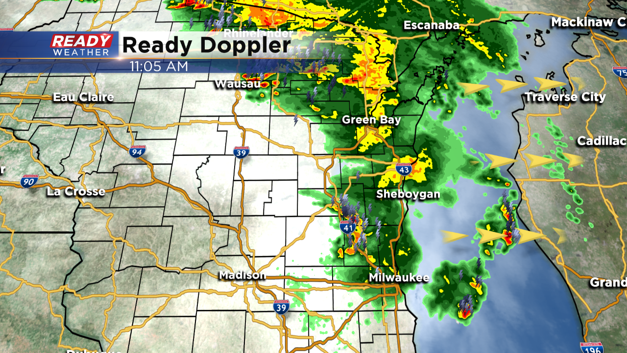
We've had heavy rain makers slowly move through the area this morning. These storms have also contained lots of lightning. A few storms turned severe, west of the metro, mostly based on hail potential. Check out a few of the storm reports today:

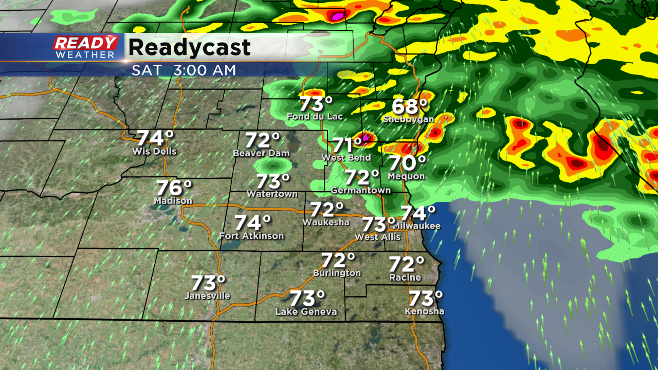
The latest Readycast future rain product actually keeps us quiet for the rest of today once this last bit of rain moves out. Other model data agrees. So it's quite possible the rest of the day is quiet and now even tonight looks quiet on most models, except one. The HRRR is a short term high resolution model and still tries to drop a bowing line of storms from the north, well after midnight. Take a look:
We'll continue to monitor the radar for any changes this afternoon. For now we still have some storms around, but they will be offshore early this afternoon.
I'm meteorologist Rebecca Schuld