A few more storms and showers possible Wednesday and Thursday
 CBS 58
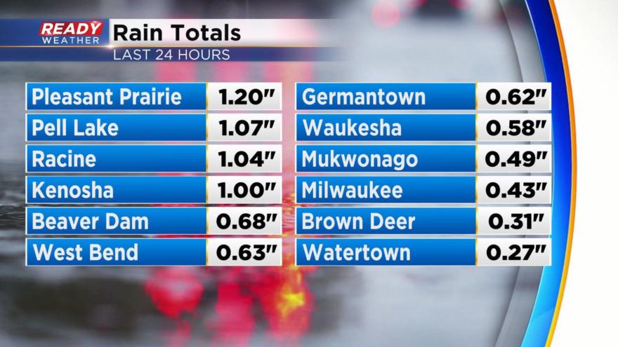
 The bulk of the severe weather stayed away from southeast Wisconsin Tuesday evening but we did have a few severe thunderstorm warnings in Jefferson and Walworth Counties without any major reports of damage or hail. Highest rain totals over the last 24 hours have been in Walworth, Racine and Kenosha Counties with over an inch in those locations. Everyone else has picked up 0.25-0.75".
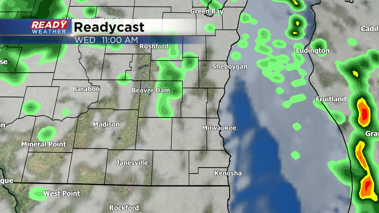
After a bit of a lull in the action during the overnight hours a few more showers and storms have rolled into the local area Wednesday morning. We will keep in the thunderstorm chance through 9 AM then a few isolated showers will be possible from late morning through the afternoon.
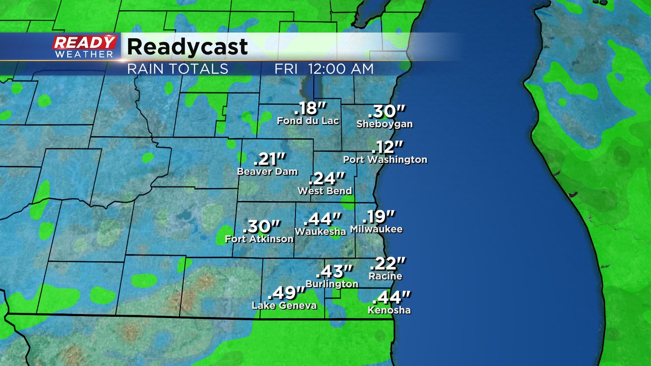
After some drying Wednesday night and decreasing clouds, the clouds move right back in Thursday morning with scattered showers likely from mid-morning Thursday through the evening. Rain totals from Wednesday and Thursday likely total at least a tenth of an inch in most spots and up to a half inch in some areas.
In addition to the lingering showers and storms, the wind will stay elevated. Wind gusts since Tuesday have peaked around 40 mph in many areas. Those wind gusts could stay between 15-30 mph through Wednesday. Thursday is a lighter wind day but then that wind comes back on Friday.

Download the CBS 58 Ready Weather app to track the continued rain chances with the interactive radar.