Storm will bring rain and snow tonight into Thursday
March is in like a lion, folks! A spring-like system will bring the area pockets of rainfall, and eventually, snow will fall on the backside of this storm by Thursday morning.
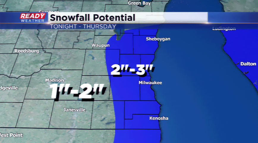
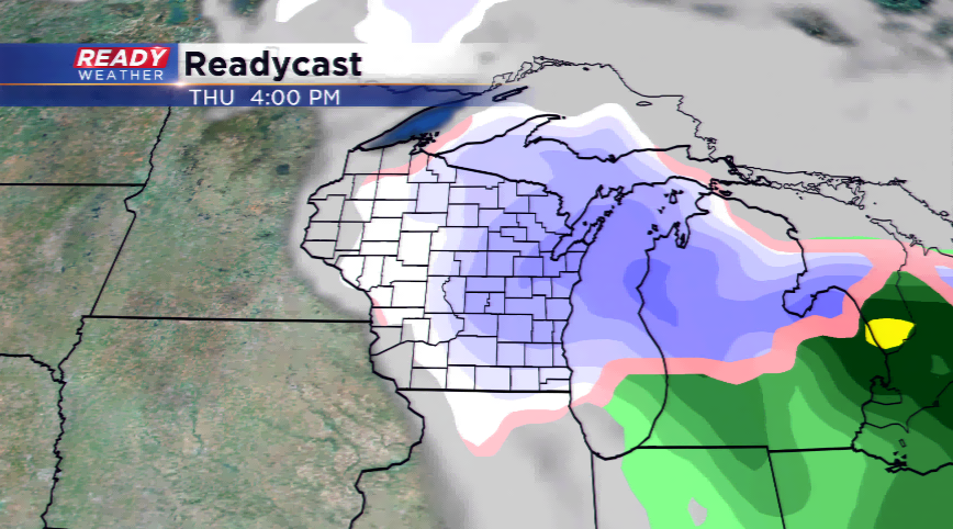
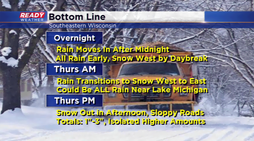
Rain is expected to drive in after midnight tonight and last into the early morning hours. From west to east, the rain will slowly switch over to snowfall. The complexity of this forecast is when this takes place and how much moisture will be available once it turns to that wintry mix. It does appear that a few inches of snowfall will be possible, along with at least 0.25”-0.50” of rainfall.
Another challenging part of this forecast will be the sharp cutoff in our northern areas. A few of our computer models are indicating lower amounts north. As of now, I kept more consistency for snowfall from north to south, but lower amounts in our west areas by an inch or so. The highest amounts appear to be 2”-3” closer to the lake where there will be more available moisture.
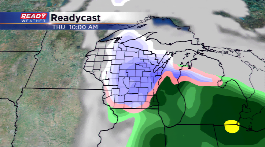
The snow will start to impact the Milwaukee metro by 8 or 9 am on Thursday and last into the evening. Expect slippery spots in the viewing area for the morning, lunch, and evening commute!