Strong to Severe Storms Possible Wednesday
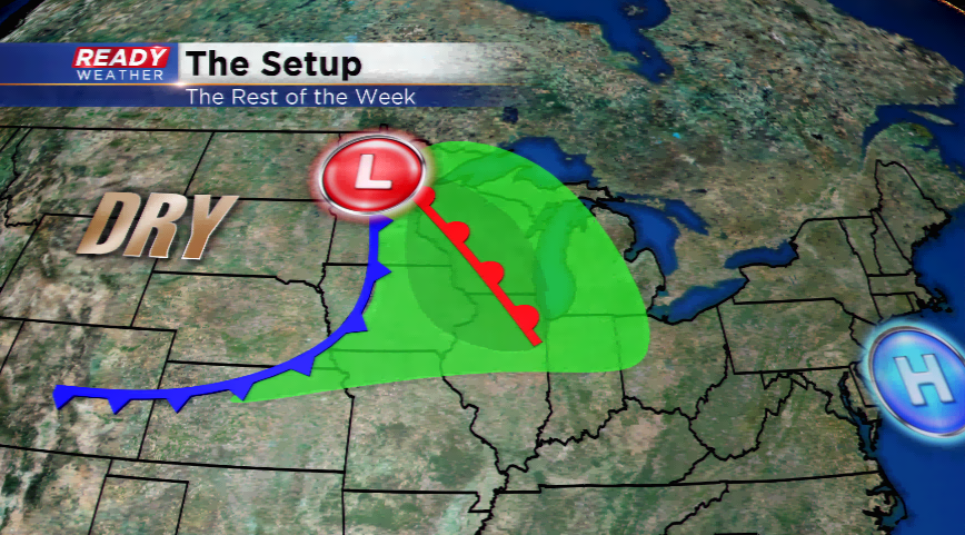
High pressure will provide quiet weather to the region today. The sunshine for today won’t last for all of your Tuesday as clouds will start to build back in. As the high moves out, this will open up the door for strong warm and moist air advection to the region.
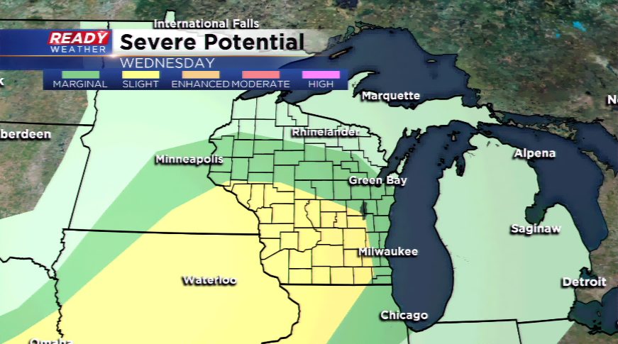
A warm front and low pressure system will drive into the region on Wednesday. The dynamics will be there for strong to severe storms tomorrow. The Storm Prediction Center has placed all of southeastern Wisconsin under a *marginal* risk of severe weather and our western counties under a *slight* risk. The latest forecast has the potential for two rounds of showers and thunderstorms. The first will march in by the morning hours. Depending on how long the clouds and precipitation linger in round one will dedicate the potential for round two. If the clouds and rain stick around long enough, it will eat at the chances of round two. Round two could be more potent with greater amounts of instability and shear. This could lead to damaging winds, large hail, and a few tornadoes. Keep in mind, the best ingredients for severe weather will be west of the viewing area.
Any residual moisture on Thursday morning will move east. Expect a drier day, but still warm on Thursday with highs in the low to mid 80