Storms develop for Wednesday. Fall finally arrives later this week!
A new record high was set today in Milwaukee! 84 degrees this afternoon breaking the old record of 82. The south winds will continue tonight into Wednesday ahead of a cold front. Those south winds will keep the humidity going as the storms increase in coverage.
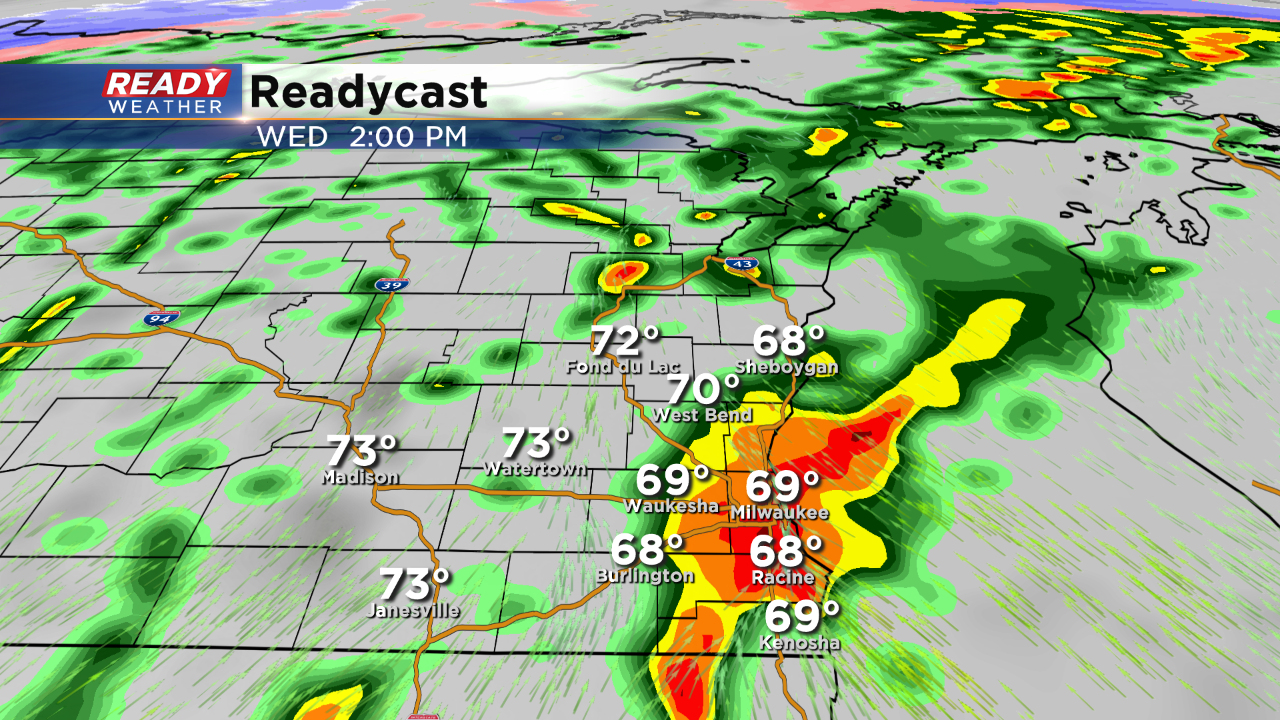
The front will move into our area Wednesday afternoon and evening. Ahead of the front scattered showers and storms are expected to develop across southeastern Wisconsin. Our area is under a marginal risk for a strong to severe storm.
Storms that fire up could produce small hail and gusty winds. Heavy rainfall over an inch is likely. Once the storms clear by the early evening the cooler air will arrive.
Highs on Thursday and Friday will likely hover in the upper 40s with the first frost expected areawide Thursday and Friday morning.
