Stormy weather pattern returns
We have gone 12 straight days without measurable rainfall after an amazing run of rain from mid-August until early September. That active weather pattern will return for the next three days.
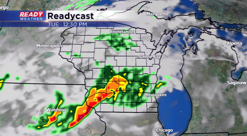
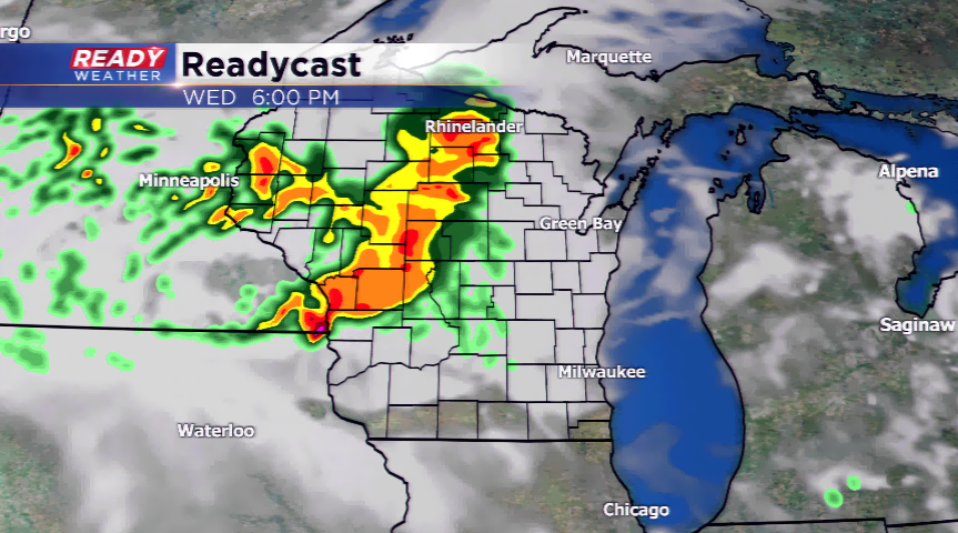
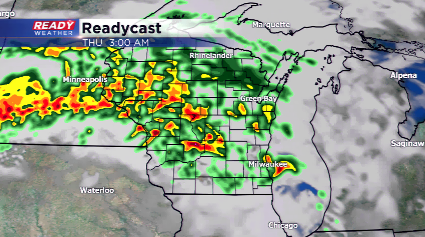
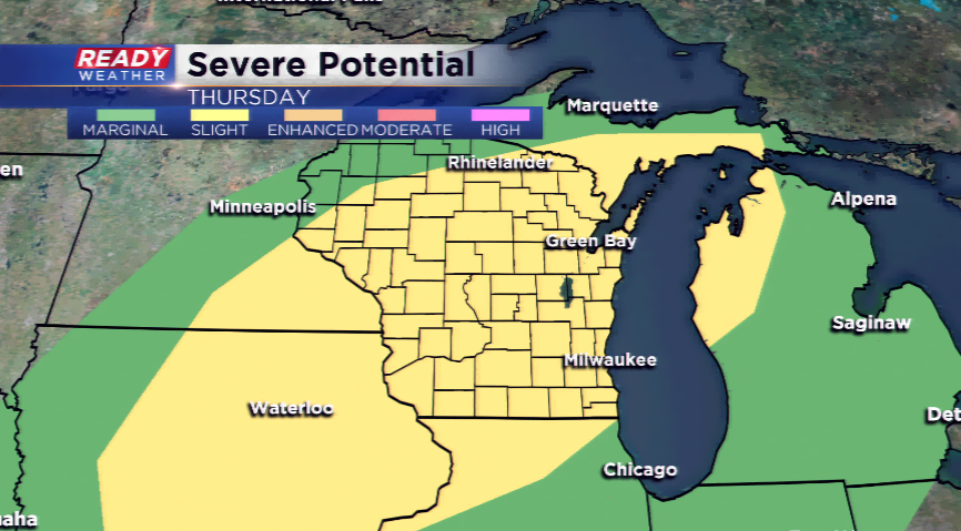
The setup swings in a boundary that will sag just to the south of the viewing area. Since we are north of this front, it could be quiet today. There will be scattered showers and storms this morning around central and parts of the western viewing area due to the low level jet ramping up, which will die off later this morning. There could be some isolated chances for showers and storms on Wednesday as well. The big day looks to be on Thursday with a lifting warm front. This front should scatter into the middle part of the state firing off showers and storms. Most of SE Wisconsin will be in the warm sector which means we will see temps well into the 80s. Storms will also be triggered around a cold front. All storms that develop on Thursday could turn strong to severe.
Once the front clears, the cooler air sinks in. Expect highs to fall from the 80s on Thursday to the 60s on Friday and parts of this weekend.
