80s today could bring storms tonight, some severe
Less than two weeks ago, snow was falling at a good clip as the CBS58 Ready Weather staff was wrapping up Weather Day at Miller Park. Now we have a bout of 80s today with appropriate dynamics to trigger strong to severe storms tonight.
With the heating of the day, there could be an instability showers or storms that fire up. Today will be the warmest day of the year, and the first time we return to the 80s since October 20th of last year. The strong southwest wind will fend off the lake breeze for a while. If you’re a few miles to the shoreline, expect cooler conditions.
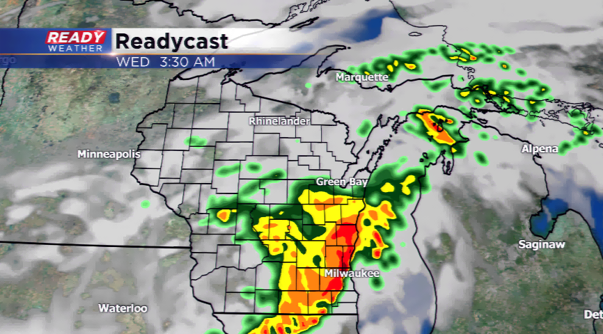
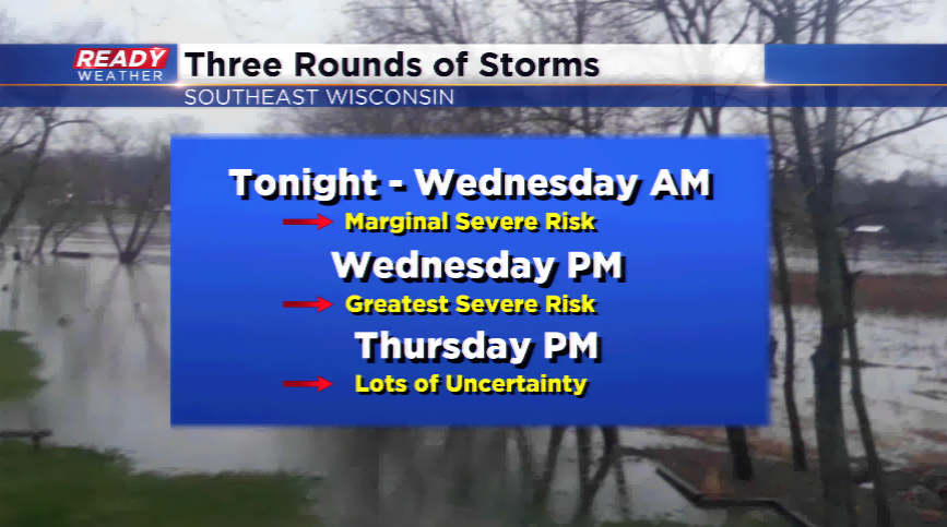
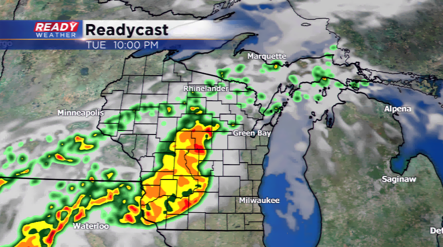
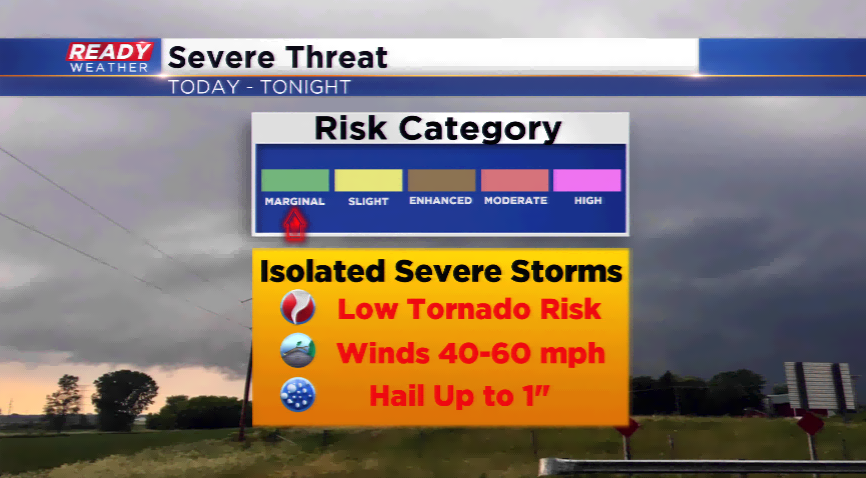
A stalled out front will kick up showers and storms overnight, possibly a round or two. Storms that develop and hold together could contain heavy downpours, high winds, and large hail. At this point, the biggest severe weather concern will be high winds with the bowing featuring setting up on the computer models. This is always a great indicator of straight line winds.
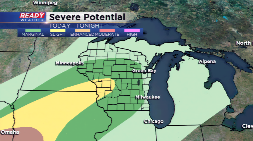
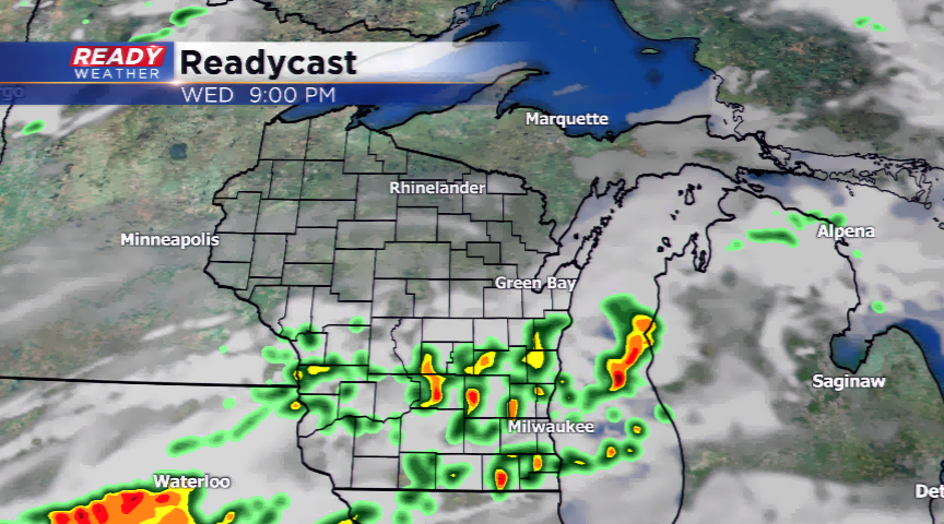
We will see a break in the action in the morning on Wednesday before another round moves in by Wednesday evening. Some of these storms could be stronger as well. The big uncertainty in this forecast remains on Thursday with the placement of the front. If the front stays south, temperatures will be cooler and the severe weather potential much lower. We will be monitoring this closely!
Temperatures cool off by week’s end and this weekend with daytime numbers returning closer to normal.
