Colder Weather to Return
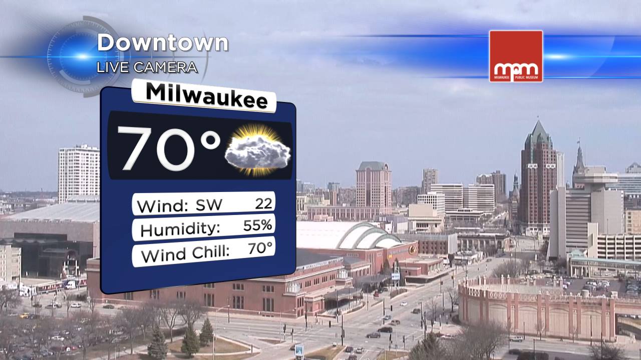
We've experienced some very warm temperatures as of late, for this time of the year. In fact, yesterday, we broke a record high temperature of 67° from the old record of 65° set back in 1879. The day before that we made it into the 70s!
Remember this:
However, it looks like we may not be treated to such warmth for a while. Even though we're still above normal, today has featured much cooler temperatures. Many locations got held up in the 40s today, a good ten to twenty plus degrees colder than yesterday afternoon. The cooling trend was strongest across our lakeshore communities as a lake breeze funneled in most of the afternoon.

And this trend while not quite set to continue in the short run, long term model data brings us back to reality with colder temperatures and as a result, snow as the primary type of precipitation. Check out this map of temperatures at the 850 mb level next week Thursday.

When you crunch the numbers down to the surface, it equals highs closer to forty degrees and lows near the freezing mark, and possibly colder. That means the chance for snow is not quite over for the season. While no major snow storms are in sight, winter may not be over just yet. A chance for at least flurries to light snow showers will be with us next week Thursday, lasting into the weekend.
I'm meteorologist Rebecca Schuld
