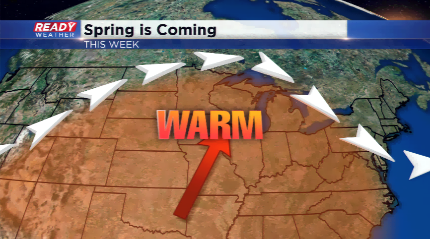
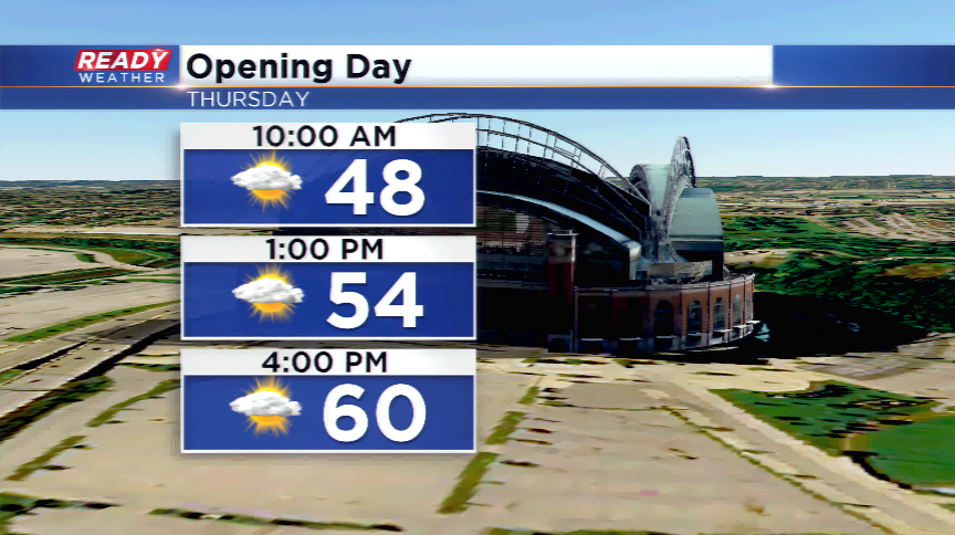
Cool to start the week, warmest of season by Opening Day
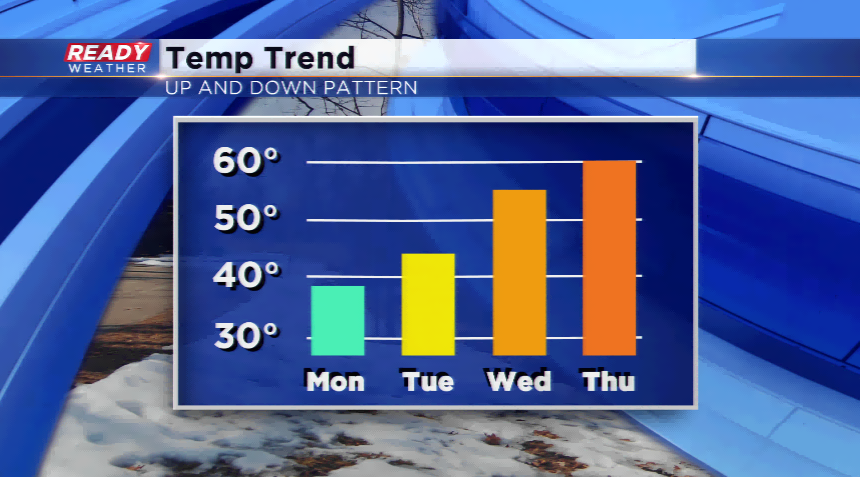
Lingering showers were still taking place late last night, but the system has tracked southeast and is moving on out. High pressure is building behind it from Canada leaving the region with a cool northeast wind and below average highs in the upper 30s. The days will get warmer as winds turn out of the south starting tomorrow. This will give us warmer days through Thursday. High temperatures will run into the 40s by Tuesday, 50s on Wednesday, and flirting with 60 by Thursday. It won’t be a perfect Opening Day with high isolated showers.
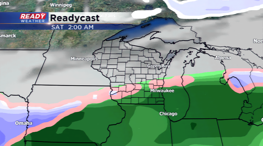
There is a cool down coming by week’s end with rain showers on the range by Friday. This system will hover in the region into Friday night and Saturday; this could lead to a slight chance of a mix or light snowfall. The temperatures will stay cool with highs only in the 30s and 40s over the weekend.