Heavy snow and near whiteout conditions expected Friday into Saturday


The second round of snow this week is currently coming to an end across southeast Wisconsin. Bursts of snow Wednesday night rolled in 1-2" of snowfall across most of southeast Wisconsin by Thursday morning. By 9 AM the accumulating snow should be done with a few peeks of sunshine possible Thursday afternoon. This is a great snow for the kids to play in!

Our third round of snow this week has the potential to be the most impactful. Snow will roll in during the morning commute on Friday. Some snow covered roads are possible for the AM commute near the IL border with slick spots along the I-94 corridor and not much snow in northern counties. But by noon on Friday everyone is seeing some steady snow. There may be some slush and mix in Milwaukee, Racine and Kenosha Counties at the onset of the storm but as temperatures drop Friday the snow will become more powdery.
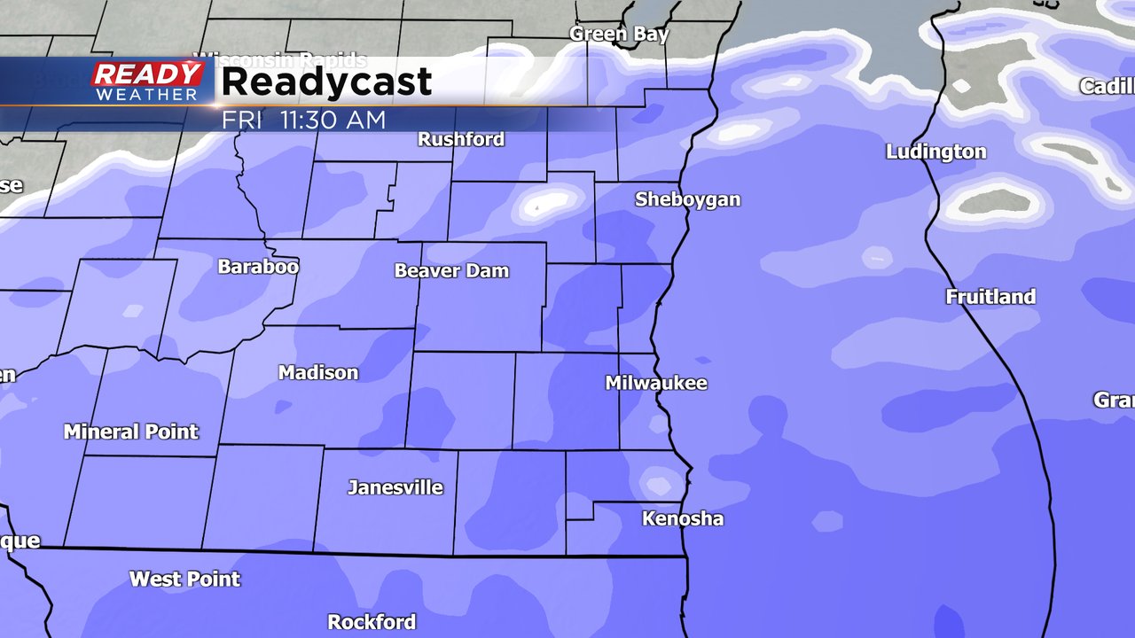
A Winter Storm Watch has been issued for this storm from Friday morning through noon on Saturday for the potential for heavy snow over 5" and significant wind with near whiteout conditions. This watch will likely be upgraded to a warning for most, if not all, of southeast Wisconsin by Thursday afternoon.

Friday afternoon through Friday night will be the heaviest part of the storm and also see an increase in the wind with gusts to 40 mph. Blowing and drifting snow will be a big issue with this storm with near whiteout conditions possible.

While the Friday morning commute might be ok, the Friday afternoon/evening commute will be pretty terrible and those rough road conditions will continue into Saturday morning. The cold air won't be a big issue on Friday but temperatures drop all day Saturday so get the kids out early to play with the snow.

Expect some changes to this snow map but for now we are going with a general 5-10" for all of southeast Wisconsin. Lakeside areas in the circled area below will be the biggest question mark for totals with some mix at the onset reducing totals at the beginning but it could also allow some lake enhancement to happen which will inflate totals there.

Download the CBS 58 Ready Weather app to track the next big storm.