Snow in northern Wisconsin, heavy rain possible tonight
Snow will fall this morning in northern Wisconsin with possibly a dusting to an inch in extreme northern Vilas, Iron, and Forest Counties. The snow will stay well south of highway 8, and we are not expecting any of that winter weather for the rest of Wisconsin, including southeastern Wisconsin.
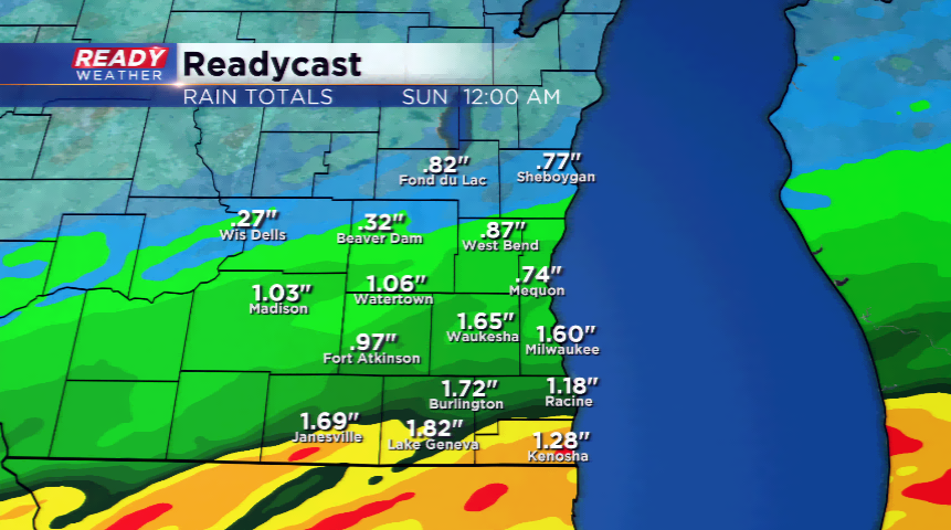
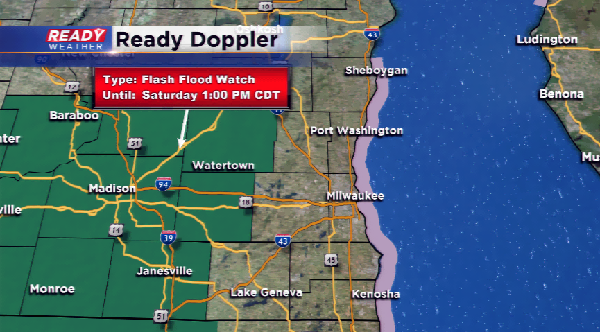
All eyes will be on the potential for heavier rainfall in several rounds this weekend. Due to the threat, a Flash Flood Watch has been issued for Dodge and Jefferson Counties, and west, from this evening to Saturday early afternoon. With an already soaked soil, and heavy downpours tonight, flooding could be possible.
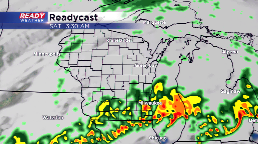
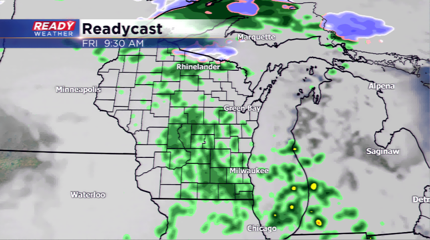
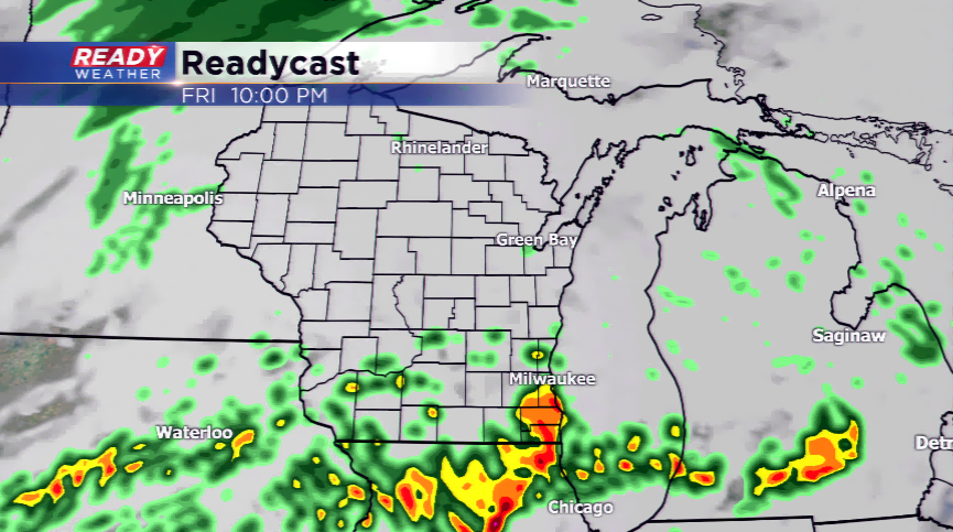
Rain showers are possible on and off on your Friday. The best chances during the day will be Friday morning and then again tonight. Low level winds and moisture will feed in tonight kicking up heavier bands of showers and storms. A quick inch or two of rain will be on the horizon for the viewing area into Saturday. Expect a break in the action for the majority of us into Sunday. Another wave of rain and storms will move in Sunday night into Monday. It could be a very unsettled forecast early next week with rain, very mild air, and even strong storms.