A summertime tease in spring; more showers/storms coming
MILWAUKEE (CBS 58)--No need for jackets today with temperatures well in the 70s to near 80 for many of us. You can thank a warm front to the north of us. The atmosphere is ripe for a pop up storm today and tonight. But a better chance into Wednesday evening as low pressure begins to pivot in from the southwest. Then the low pressure area sits and spins to the south of us, keeping showers in the forecast through the end of the week. Temperatures will be cooler by then, mainly in the 50s. But keep in mind 50 is a normal high this time of year.
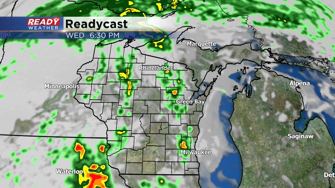
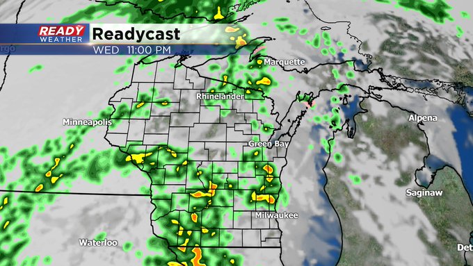
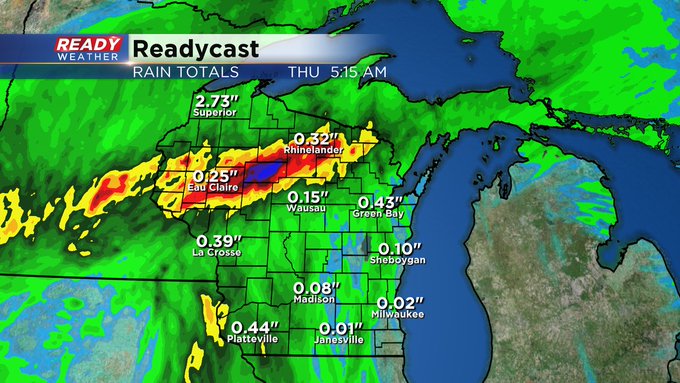
Rainfall amounts will vary, depending if you get caught under a storm or not. Generally speaking a few tenths of an inch could fall depending where you are the next few days. Hopefully this will help the high fire danger.
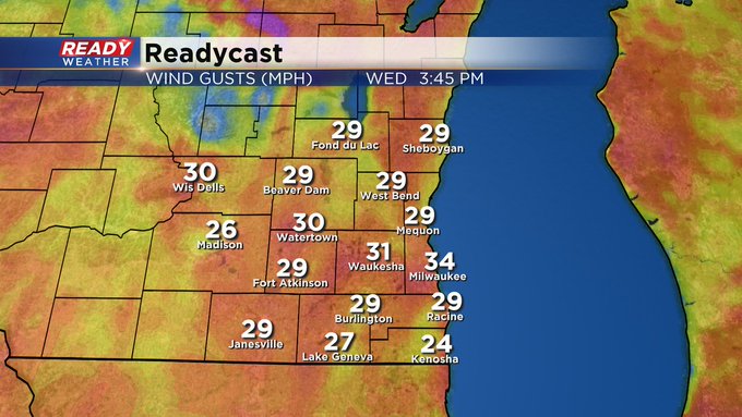
One more mention. Wind gusts could get up to 30-35 mph the next few days. This isn't good for the very high fire danger across the area. Conditions should improve by Thursday and Friday with more showers. So please, no burning.