


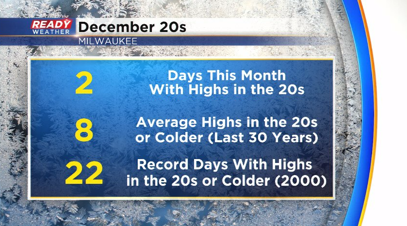
Today was the first full day of winter, and it definitely felt like it! Temps spent most of the day in the 20s after starting out in the teens, but it felt even colder with the wind. This was second day this month that Milwaukee didn't get out of the 20s, however that's below normal. Milwaukee usually has about 8 days in December with highs in the 20s or colder.
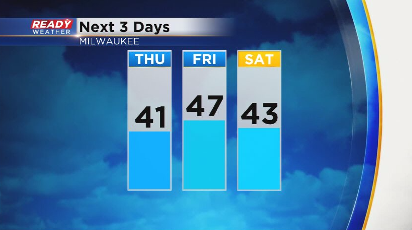
After one day below normal, temps will warm back into the 40s for the next several days. Christmas Eve will be the warmest day with some southern spots making a run at 50!
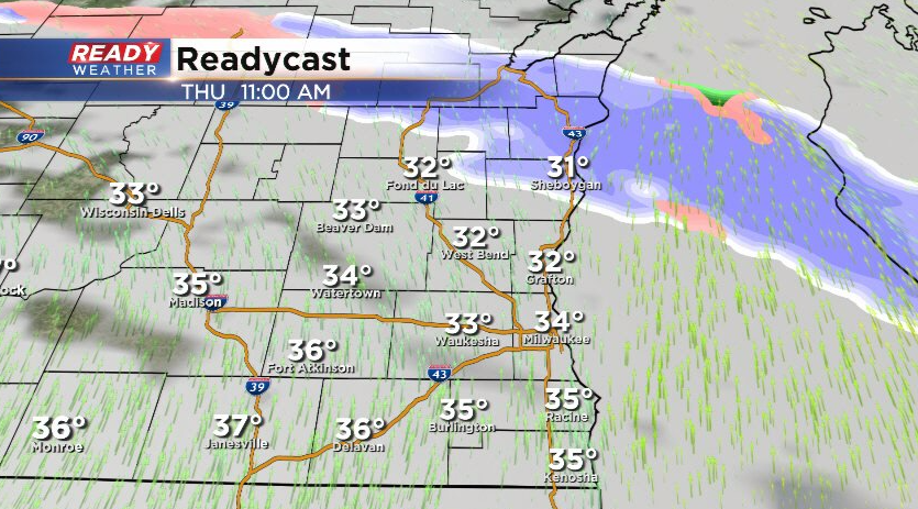
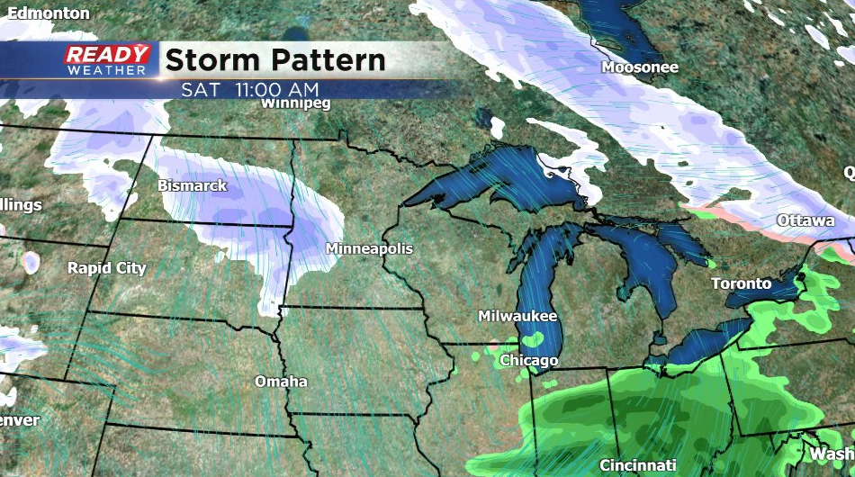
However, we will return to a bit more of an active weather pattern during this time frame and beyond. A weak disturbance may touch off a few flurries or brief snow showers north of Milwaukee Thursday morning. A dusting may be possible near the Fox Valley, but anything that falls will melt in the afternoon.
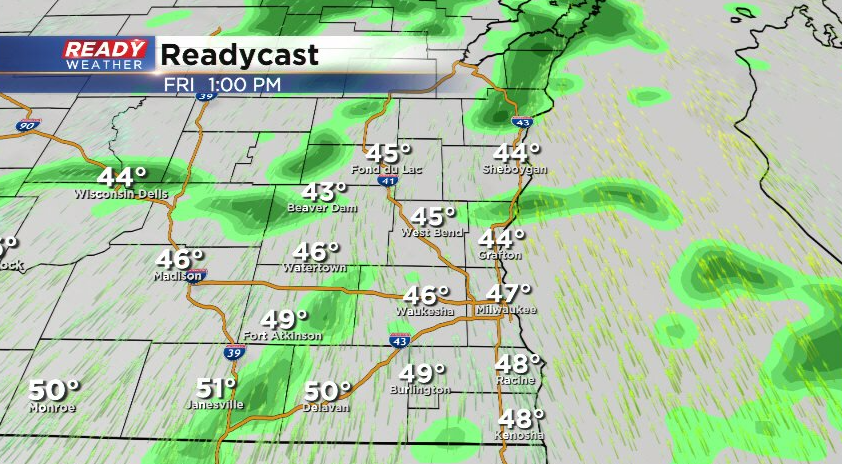
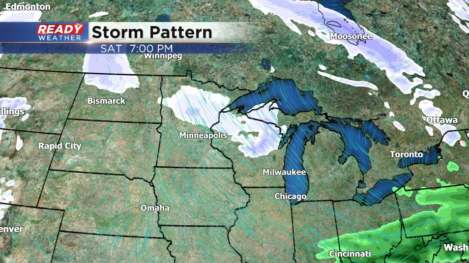
We'll dry out Thursday afternoon and night, but drizzle and spotty light showers return area-wide on Christmas Eve. Most numerous shower activity looks to be in the afternoon.
The precipitation forecast for Christmas Day is a bit more uncertain as one wave of low pressure tracks to our south in the morning, and another to our north in the evening. If the morning system tracks slightly farther north, we could have a few rain showers early Christmas morning.
Then all eyes will be the second low pressure system that tracks to the north in the evening. This could sag far enough south for a little bit of light snow Christmas evening.
So for those still holding out hope for a few flakes on Christmas, there's still a small chance! More chances for rain/snow continue into next week. Download the CBS 58 Ready Weather App to track the incoming precipitation.