Active end of the week will bring storms and cold
Another plunge of cold, Canadian air will make itself known this weekend around the Badger State. Temperatures are expected to tumble into the 30s for highs, and teens and 20s for overnight lows by Saturday and Sunday.
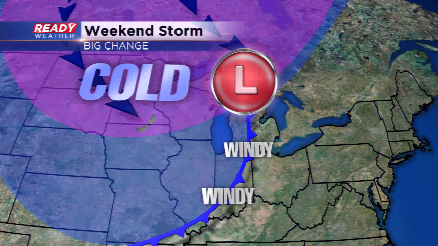
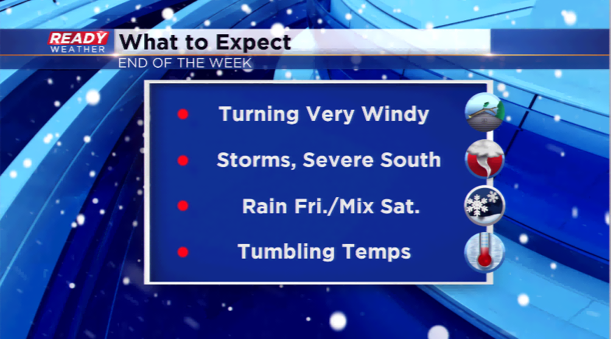
This strong low pressure system will bring gusty winds to the region by Friday, severe weather just to our south, storms to the viewing area, a mix by Saturday, and the chilly air hanging around until early next week.
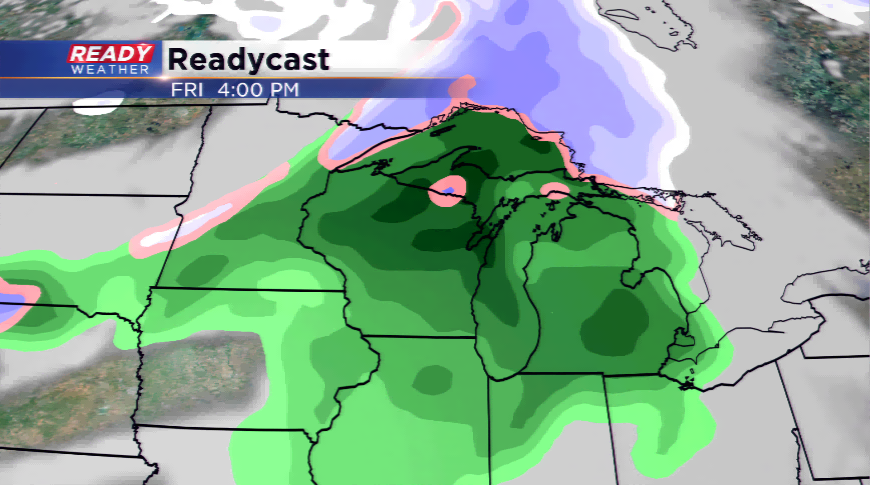
The SPC has a discussion out for Friday detailing the threat of severe weather as far north as the Illinois/Wisconsin border. With pre-frontal warming driving 50s and 60s north, and very cold air behind the storm system, this should lead to pockets of strong to severe storms.
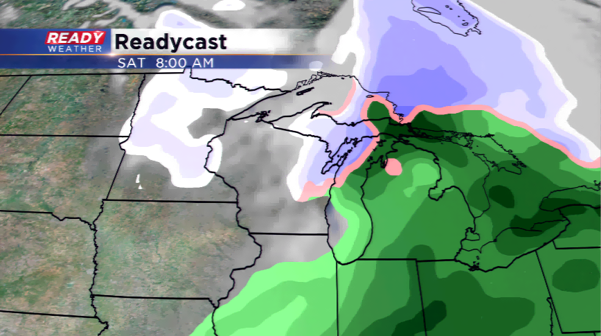
The back side of the storm system will usher in a chance of a mix, with the accumulating snow staying north right now.
