Mid-Morning Update: Strong storms entering Illinois moving towards Wisconsin
Updated: 9:47 a.m. Aug. 29, 2022
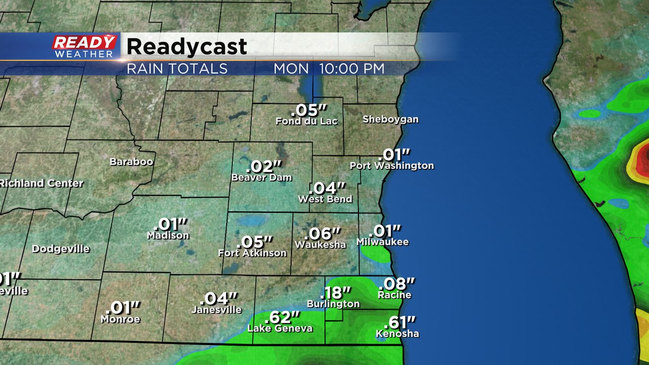
Storms have begun to form in eastern Iowa and are moving into Illinois. These storms will mostly move east but could clip a few of our southern counties with the possibility for damaging wind. The storms staying in Illinois is also a possibility. Noon to 3 PM look like the best time to see some strong to severe storms in southeast Wisconsin.
------
Posted: 7:15 a.m. Aug. 29, 2022
After a round of strong to severe storms on Sunday we could see another round of those on Monday. Most of Monday morning will stay dry with just an isolated chance at a shower or storm. The better chance for rain will arrive late Monday morning through the afternoon. 11 AM to 6 PM looks like the best timing to see some storms.
Northern counties will likely miss out on the afternoon storms with best storm chances in our southern counties. Hometowns along and south of I-94 have the best chance to pick up around a half inch of rain with much less the farther north you go from there.
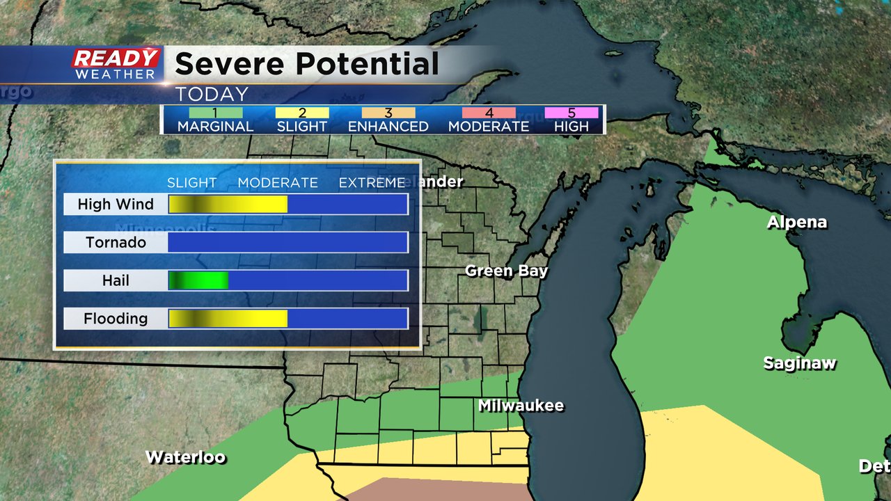
There is the potential for some strong to severe storms Monday afternoon. The best risk for severe weather will be in northern Illinois where they are under the Level 3 Enhanced Risk for severe weather. Locally, Walworth, Racine and Kenosha are under the Level 2 Slight Risk and a few counties north of there are in the Level 1 Marginal Risk. If severe storms do develop, damaging wind is the main threat with some brief flooding. The hail threat is low and the tornado threat is pretty much nonexistent locally.
In addition to the storm potential, Monday will be a very warm and humid day. High temperatures will reach into the middle 80s but the humidity is the issue. Dew points will push into the middle 70s today. Just nasty humidity and well into the tropical category.
Download the CBS 58 Ready Weather app to track the storms and get video updates.


