Christmas is on the 10-day with a White Christmas still a possibility
After a good soaking rain on Saturday and some mild air returning Sunday and Monday with highs in the 40s, the fog has settled in. There's a few reasons for all the dense fog. The moisture from the rain on Saturday has lingered and we even had a few more showers Monday morning. The ground is also still pretty cold after the chilly start to December and now we have a lot of mild air moving over the cold ground. The difference between the temperature of the ground and the air can cause fog to form.
The fog is expected to last through most of the morning and may linger a bit into the afternoon. Here's the current visibility that will update with time:
In addition to the fog, we've also had a few light showers and some isolated showers cannot be ruled out the rest of Monday. Most of Tuesday looks dry until Tuesday night when some light snow will be possible going into Wednesday morning. Some light accumulating snow is possible Wednesday morning.
Thursday also has another chance for snow and there are some signs we could get more snow just before Christmas. So, even though December hasn't had much snow so far this year, there's still about a 40% chance for a White Christmas this year! A White Christmas is defined as 1" of snow on Christmas Day.
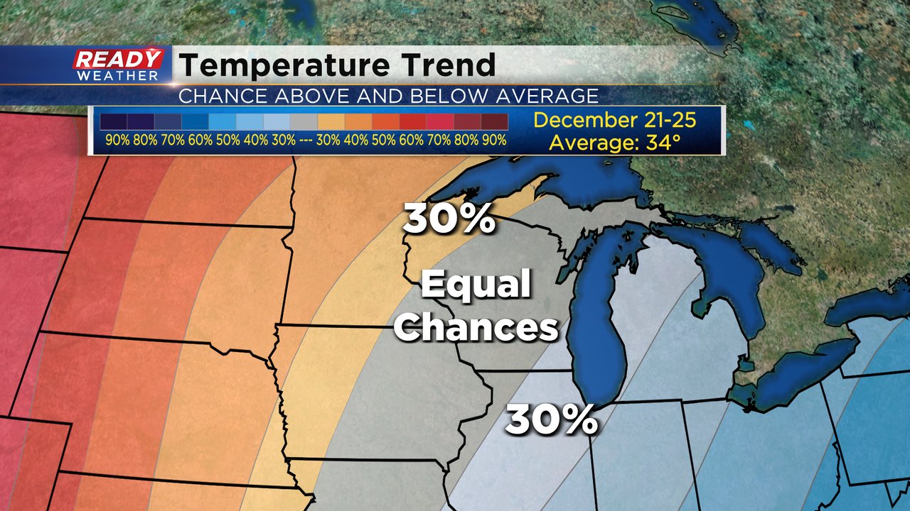
It's a mild start to the new week but temperatures are expected to be just a little below-average for the second half of the week. Christmas Day is on the 6-10 day temperature trend from the 21st-25th and shows nearly equal chances for both above and below average temperatures heading towards the holiday, but as we approach Christmas Day itself temperatures might warm up.
Download the CBS 58 Ready Weather app to see the current forecast for Christmas on the 10-day!


