


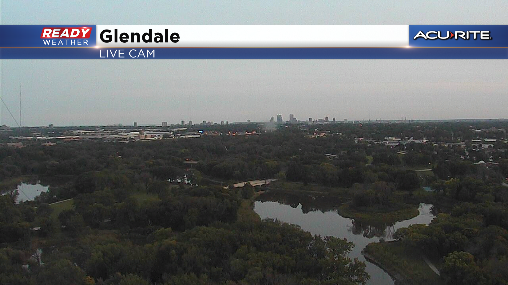
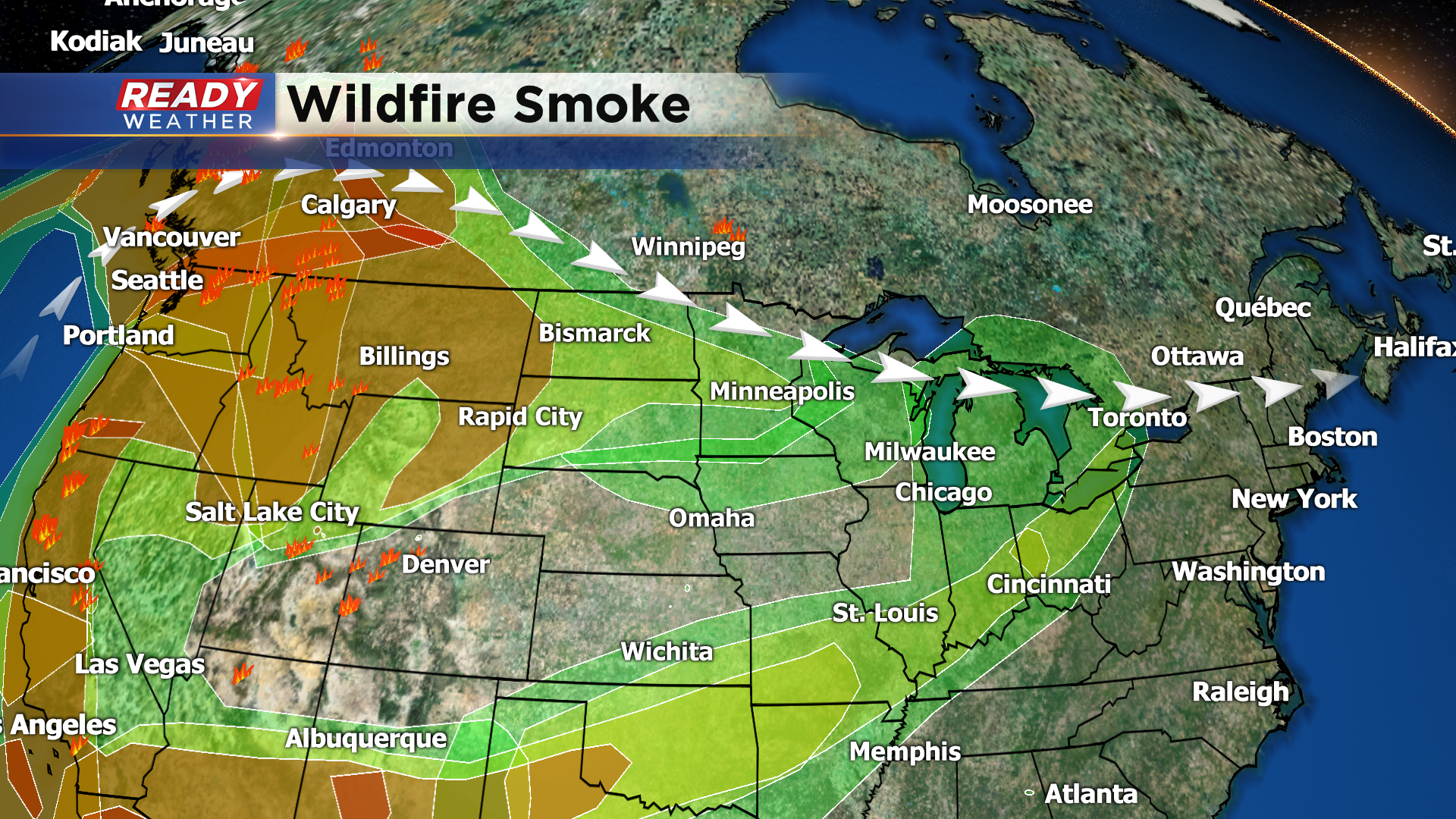
The cloud cover was stubborn this morning, but the clouds finally dissipated this afternoon and sunshine returned to southeast Wisconsin. However, we haven't had bright, blue skies with that sunshine. Wildfire smoke from the fires out west has been pushing through the area today, causing the sky to look milky.
We'll likely have more wildfire smoke filtering the sun over the next few days as westerly winds from the jet stream transport the smoke across the United States.
Other than the smoke, a rather quiet week of weather is expected with high pressure in control through Wednesday morning. Easterly winds will keep temps in the 60s for most on Monday, but winds will turn to the south and become breezy Tuesday and Wednesday, boosting temps into the mid to upper 70s.
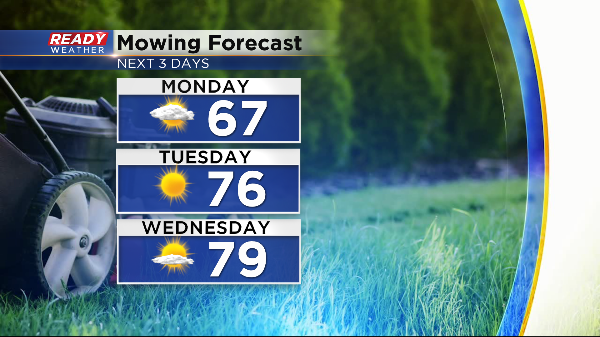
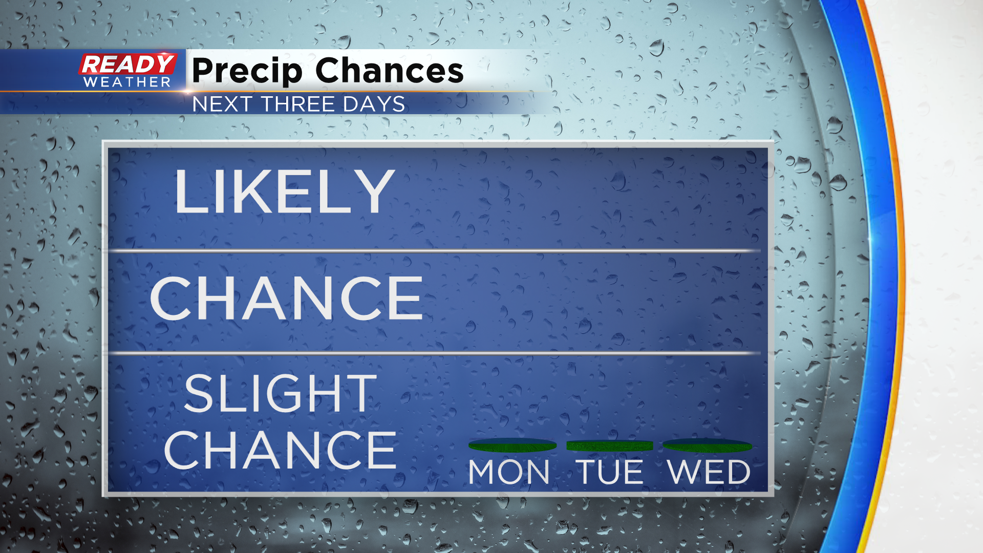
A cold front will push through the state later Wednesday afternoon, but the front is expected to push through the area without generating any showers or storms.
It'll feel like fall once again behind the cold front as temps drop into the 60s for the second half of the week. Download the CBS 58 Ready Weather App to see when rain may move back into the area.