Noon Update: Storms are firing ahead of the cold front
Updated: 11:55 am Sunday, August 29th:
Storms are popping ahead of the cold front. At this time, storms remain sub-severe, but are still producing very heavy rain and lightning. They're also showing the potential for 35-40 mph wind gusts. Storms are generally lifting northeast while the entire line itself moves east.
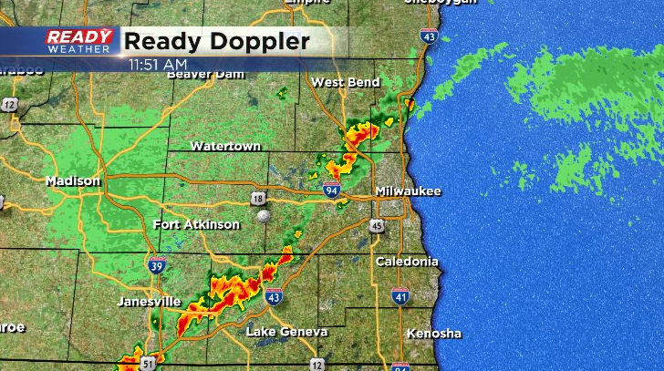
Once these clear the area in the next 1-2 hours, we'll be in the clear.
-------------------------------------------------------
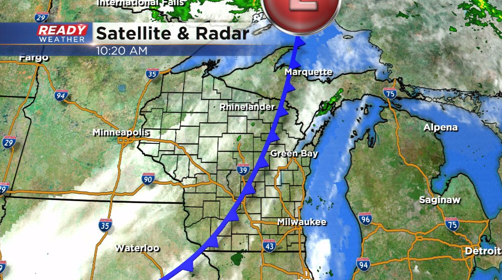
It's been warm, humid, and breezy start to the day with a mix of sun and clouds head of the cold front. The front is slowly make its way through the state and will push across southeast Wisconsin between 12 pm - 4 pm.
A few isolated storms are possible along the front, but not a guarantee. The best chance for storms will be in Milwaukee, Racine, and Kenosha counties.
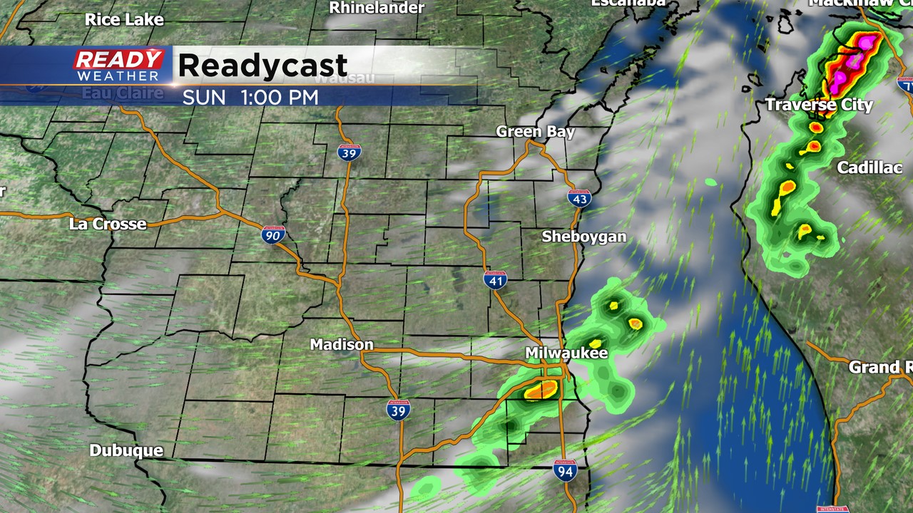
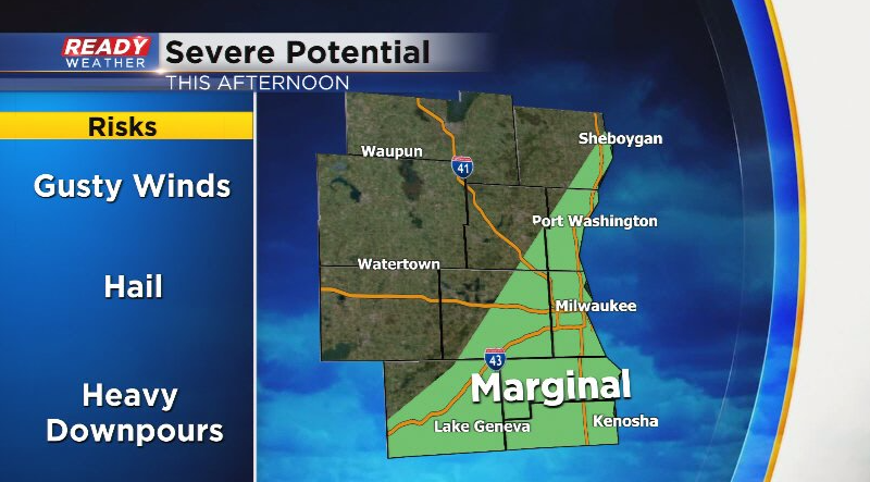
If storms are able to pop, they could be on the stronger side with gusty winds and hail as the main threats. A level 1 of 5, Marginal Risk, is in place for far eastern and southeastern WI for this risk.
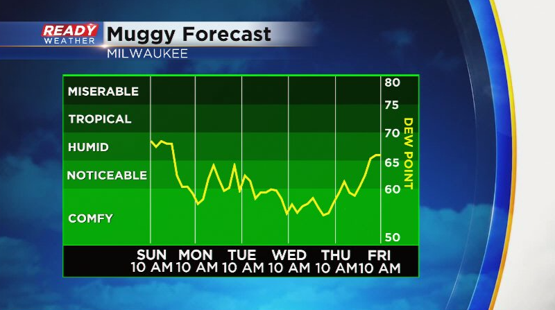
Less humid air will gradually work in behind the front this evening into tonight. Humidity will remain at rather comfortable levels for most of the work week.
Temps will be a lot more comfortable as well, generally in the 70s to around 80. Download the CBS 58 Ready Weather App to track any storms and to see the full 7 day forecast.
