First widespread accumulating snow of the season arrives Tuesday. Several inches are expected.


Updated: November 14th 9:00 PM
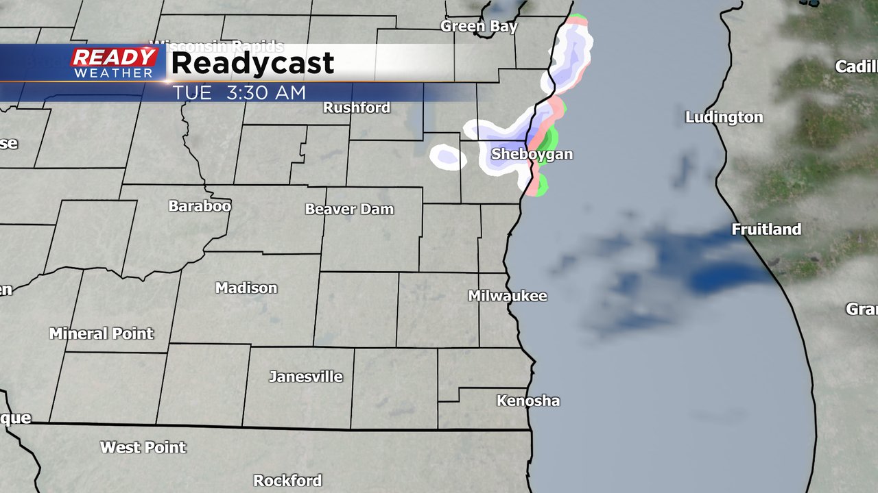
The National Weather Service is not issuing a winter weather advisory at this time. The first snow of the season is expected for the entire area on Tuesday. This evening will remain quiet; however, after 4 am we do expect snow to develop across southeastern Wisconsin.
The Tuesday morning commute will be impacted by snow. This snow will be a wet slushy snow, and could cause issues on the roads, especially away from the lakefront. The lakefront will experience a mix of rain and snow throughout most of the event.
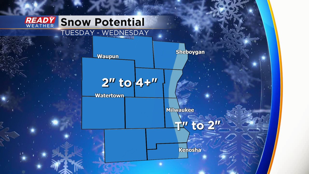
2" to 4" will be expected away from the lakefront by Wednesday afternoon. There might be some pockets of locally higher totals. Roads will be slushy by Tuesday evening.
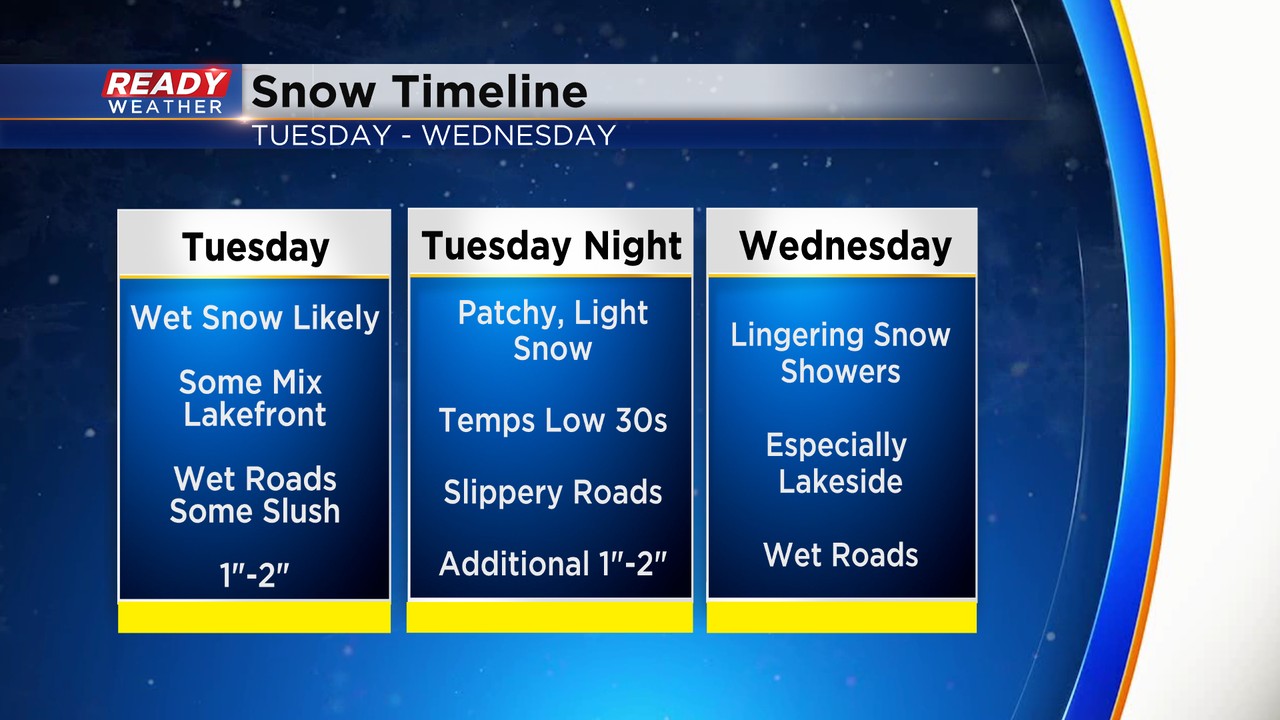
Lingering snow showers will be possible on Wednesday, but the majority of the accumulation will be done by that time. Milwaukee averages their first inch of snow around December 1.
______________________________________________________________________________________________________________
Snow is on the way! Less than a week ago we had record breaking highs in the upper 70s but in true Wisconsin November fashion the first widespread accumulating snow is on the way for Tuesday. After a dry Monday some light rain/snow mix may be possible Monday night after midnight. No big accumulation is expected overnight.
The main round of snow rolls in during the Tuesday morning commute with most of southeast Wisconsin seeing steady snow by 10 AM Tuesday. The snow will stay persistent, although there will likely be some dry breaks, during most of Tuesday and even lasting through Wednesday.

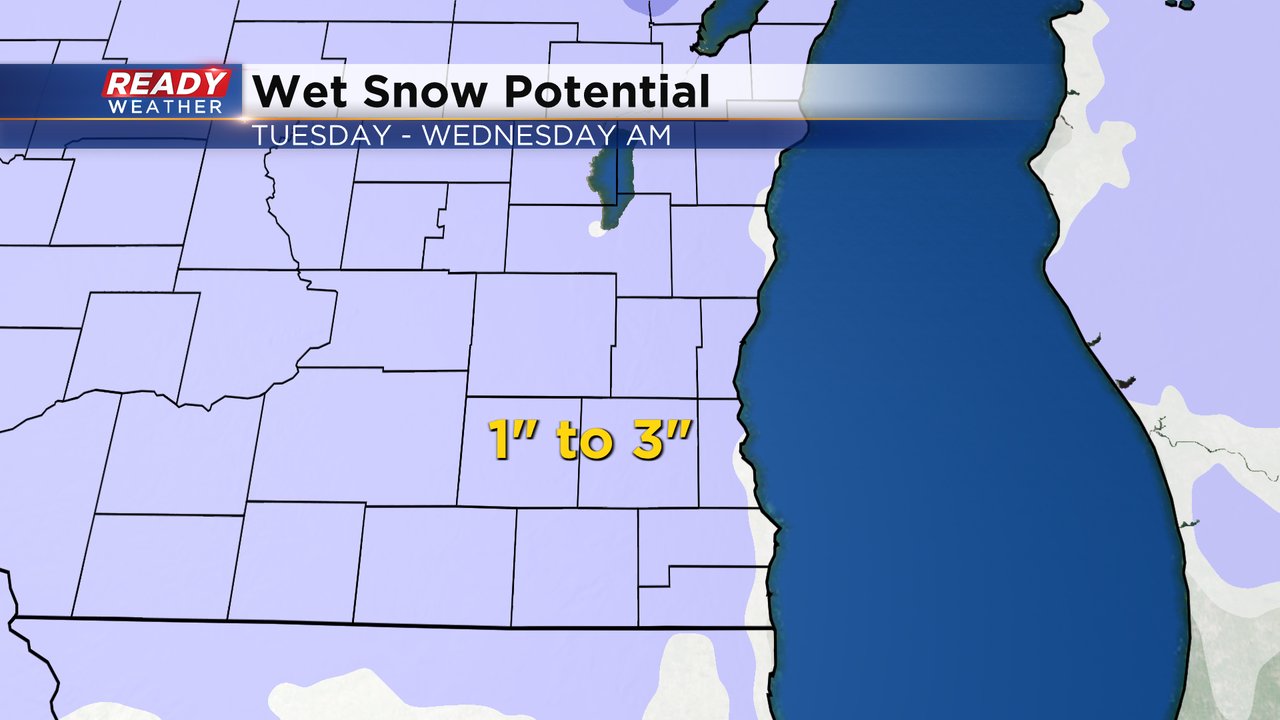
Snow totals from Tuesday morning through Wednesday morning look to be in the 1-3" range area wide. This will be a wet, slushy snow that is hard to shovel. We will have an east wide during the entire snow event which may increase our moisture content and also push a rain/snow mix into immediate lakeside communities. The best area for some communities to get a little more than 3" would be around Washington, eastern Dodge, southern Fond du Lac and northern Waukesha Counties.
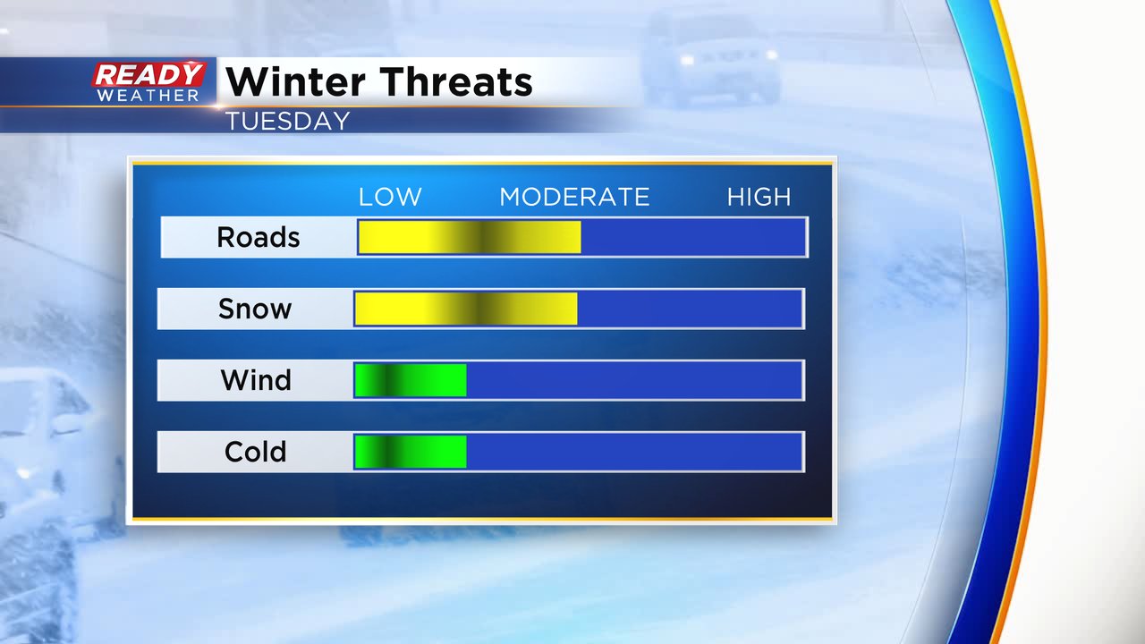
Given the slushy and wet nature of the snow most main roads will just stay wet and slushy but expect side roads to be snow covered at times. The rate of snow won't be super heavy but some light to moderate areas of snow will reduce visibility. Thankfully not much wind and cold will be associated with this chance for snow.
Download the CBS 58 Ready Weather app to track the arrival of the snow and any changes to the forecast.