Fog, mist and drizzle will cause slick spots Tuesday and Wednesday


After a sunny day on Monday we saw the clouds roll in late Monday afternoon and evening. A few rounds of light rain or drizzle rolled through southeast Wisconsin early Tuesday morning and now some fog is starting to roll in. Fog, mist and drizzle will all be possible throughout Tuesday with low clouds. A few light showers will also be possible Monday night into Tuesday morning with more fog and drizzle a possibility through Wednesday.
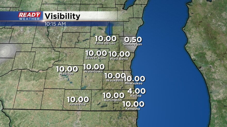
Here's a look at visibility reports that will update with time:
After dealing with some fog, mist and drizzle Tuesday and Wednesday we have a separate storm system passing by to our south that will give us a slight chance for light snow on Thursday. At this point, snow accumulation doesn't look likely with southern counties seeing the best chance for some flurries.

Through the first week and a half of January, our precipitation is running just a touch below-average but for winter it's a little above average. Looking back at precip since the midway point of 2022 shows a nice precipitation surplus of almost two inches.

Download the CBS 58 Ready Weather app to track the fog and drizzle and see if the track changes with our Thursday snow chance.