Hottest day of the week Tuesday with continued isolated storms
Monday wasn't super hot but it was very humid and we had more sporadic showers and rumbles of thunder where parts of southeast Wisconsin didn't get any rain and others saw over an inch especially near the lakefront in Racine and Kenosha Counties.
The temps will warm up a lot more Tuesday with highs reaching the upper 80s thanks to a shifting southwest wind. The rest of the week sees steady temps in the mid 80s.
The sticky humidity isn't going anywhere with tropical-level dew points in the 70s most days this week. In fact, the humidity will get even worse for the middle of the week with dew points getting close to the mid 70s and near the miserable level Thursday and Friday.
Most of Tuesday stays dry from the morning through the early afternoon. A few isolated showers and storms are possible in the late afternoon through the evening, but a lot of southeast Wisconsin stays dry.
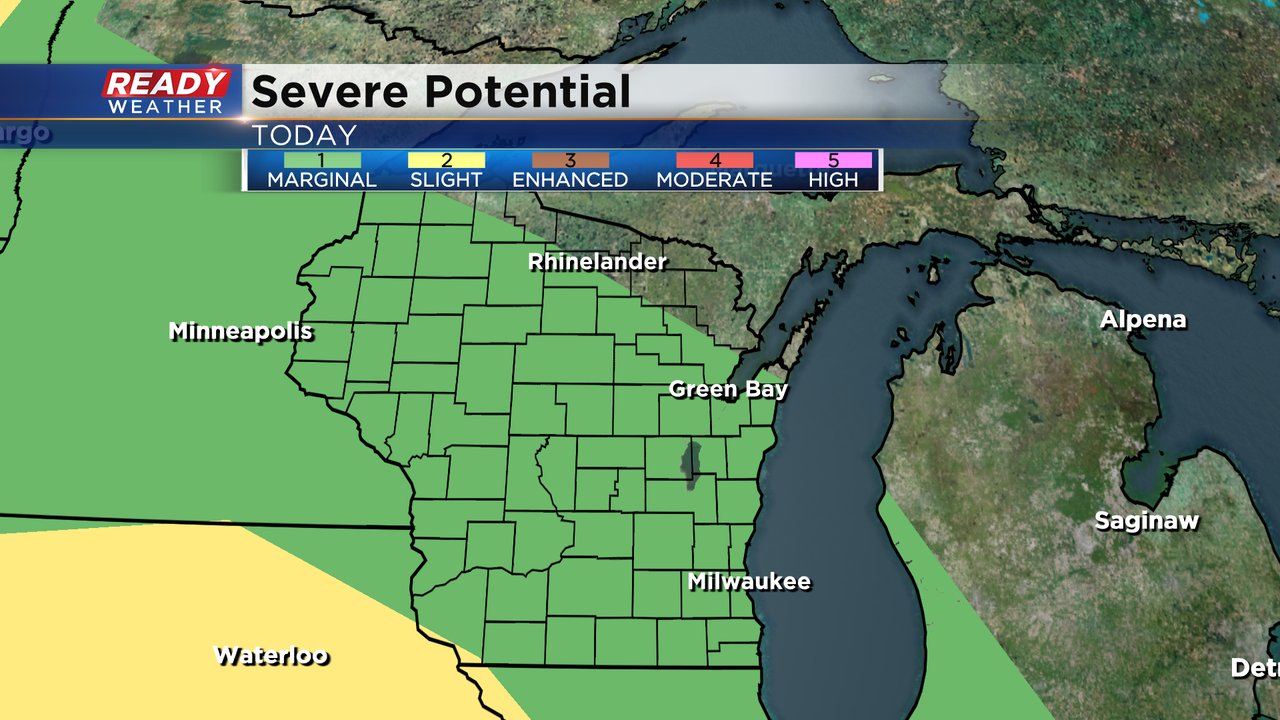
There's another chance for storms Tuesday night into Wednesday morning. The better chance for those storms will be southwest Wisconsin where some stronger storms are possible. We will have to watch and see if any of those strong storms drift into southeast Wisconsin. Most of the state of Wisconsin is under a Level 1 Marginal risk for the possibility of severe storms Tuesday with the same Marginal risk in place Wednesday and Thursday.
Download the CBS 58 Ready Weather app to track any storms that do pop up Tuesday into Wednesday with the interactive radar.


