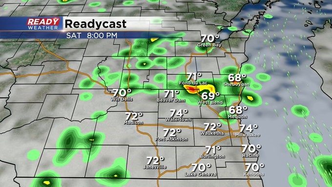
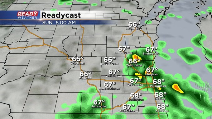
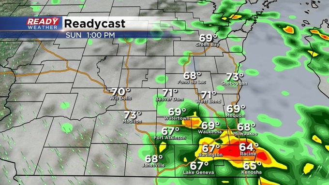
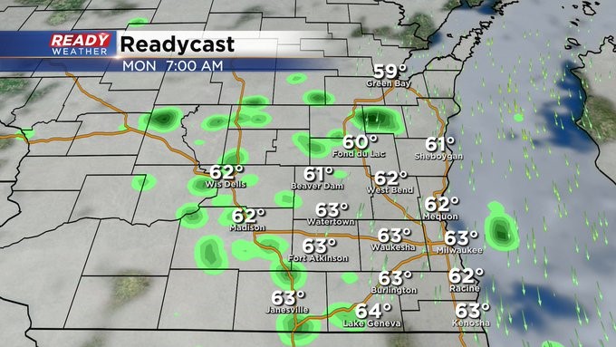
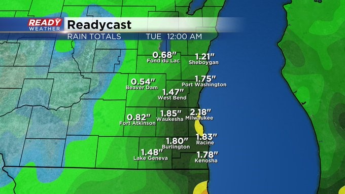
MILWAUKEE (CBS 58)--Unfortunately our nice blue skies are parting ways. Instead, look for cloudier conditions with on/off showers and even some rumbles of thunder throughout the weekend. A slow moving cold front will keep things unsettled, especially Saturday afternoon right through Monday morning at least. A half an inch to inch of precipitation is possible.
We dry out for a time later Monday. But then shower activity picks back up for the end of the week, mainly Thursday into Friday as upper low pressure begins to pivot in from the east. Hopefully the weather pattern dries out by next weekend. Stay tuned!
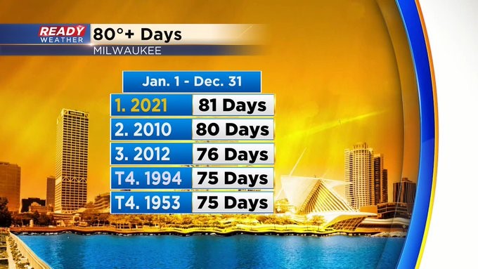
By the way, we hit 80 degrees on Friday. This is significant because this marks the 81st time we've seen 80 degrees this year, making it an all time record. It won't be as warm this coming week. But temps will hold in the 70s during the day and 50s at night.