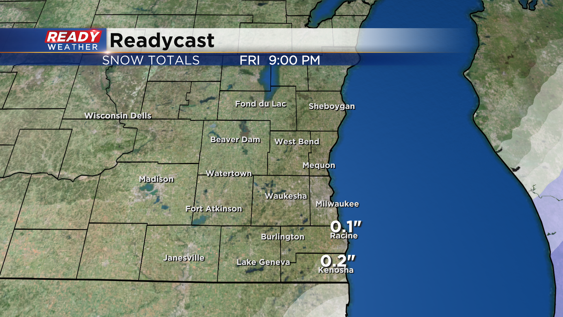
The system we've been tracking all week looks to track far enough to the south that nearly all of the precipitation will miss southeast Wisconsin today. We can't rule out a little wet snow sneaking over the border into far SE WI late this afternoon, but no impacts are expected.
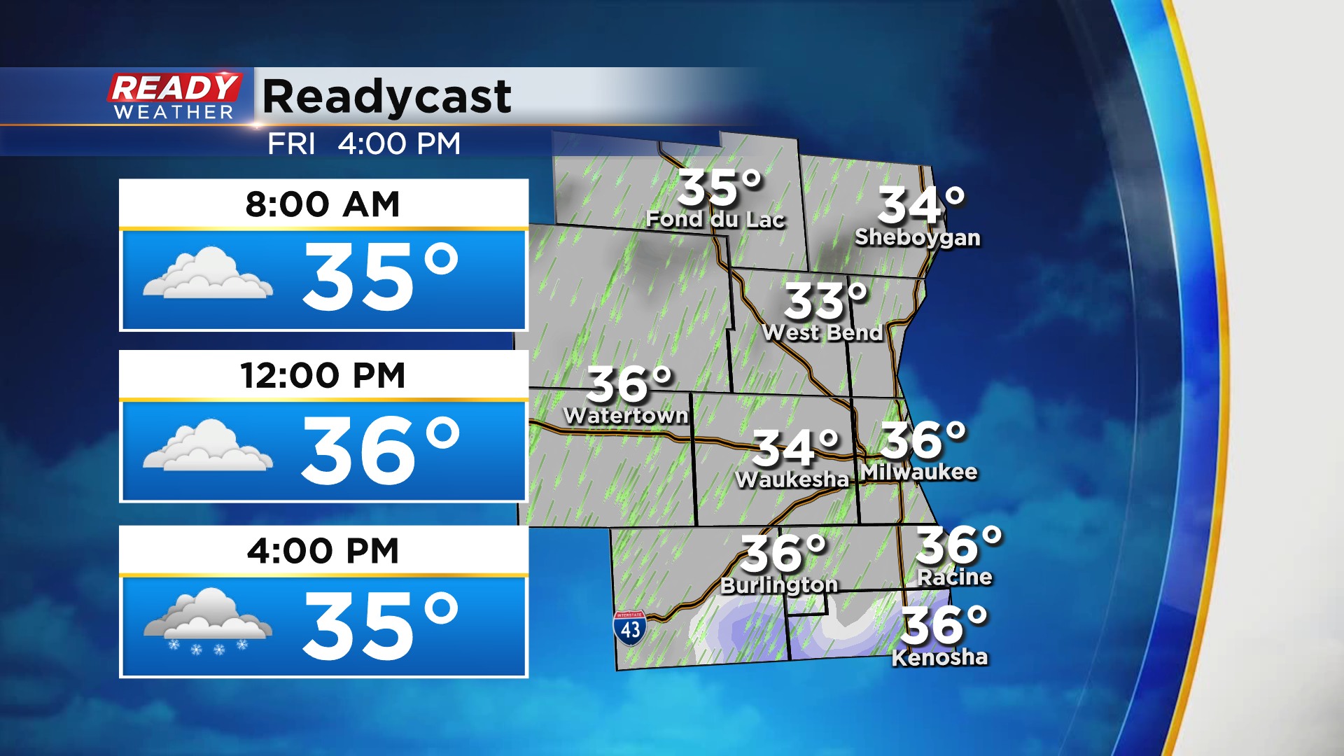
Little to no accumulation is expected with the snow that sneaks over the border.
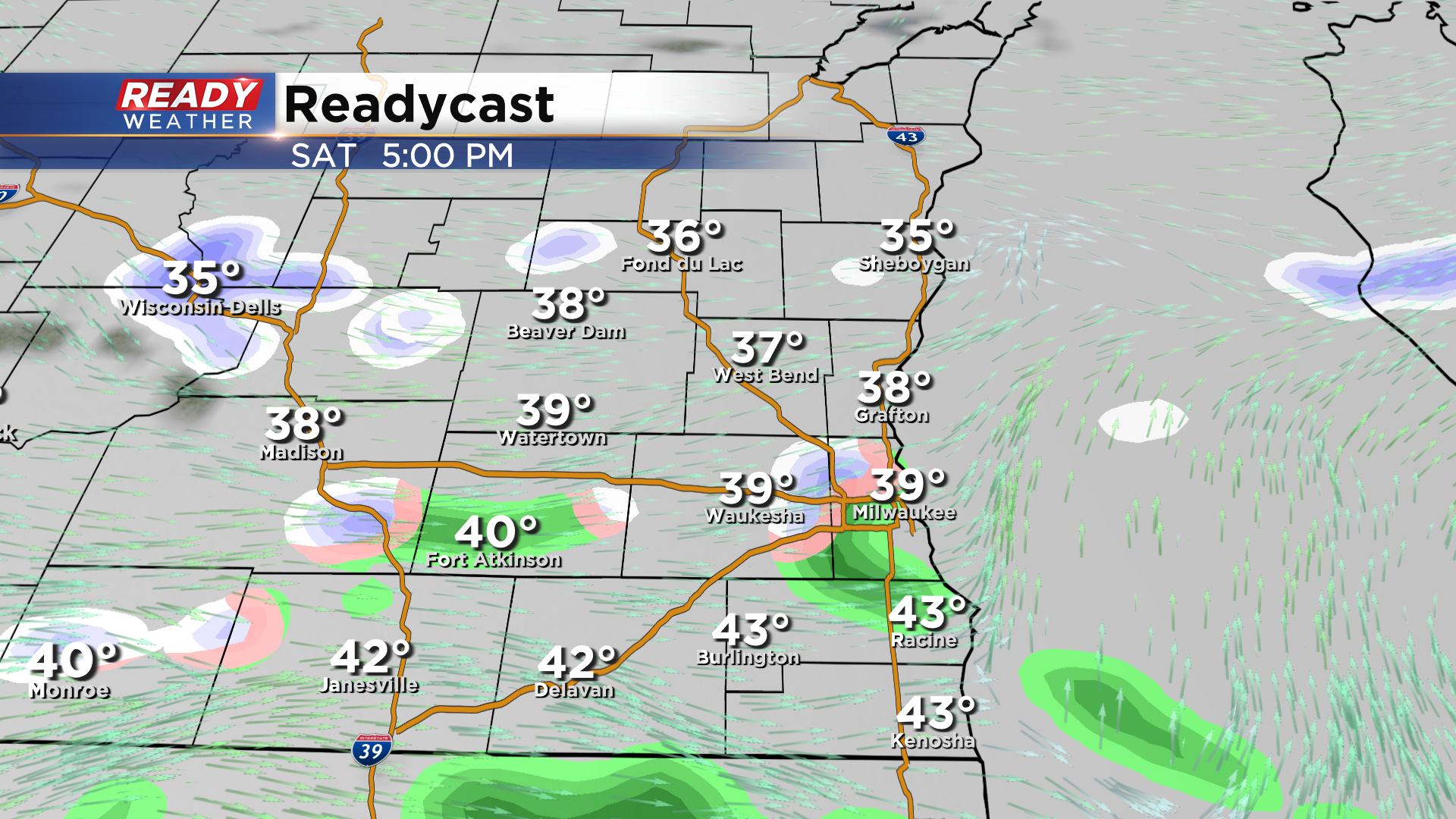
Clouds will be stubborn today and throughout much of the weekend. A weak disturbance pushing through later afternoon Saturday will likely trigger a few isolated rain/snow showers. Once again, these will be more of a nuisance than anything.
Dry weather is expected throughout the day on Sunday, but a more organized system will approach by late Sunday evening, bringing a more widespread area of rain to SE WI. Some wet snow may mix in in Fond du Lac and Sheboygan counties before changing back over to rain during the day Monday.
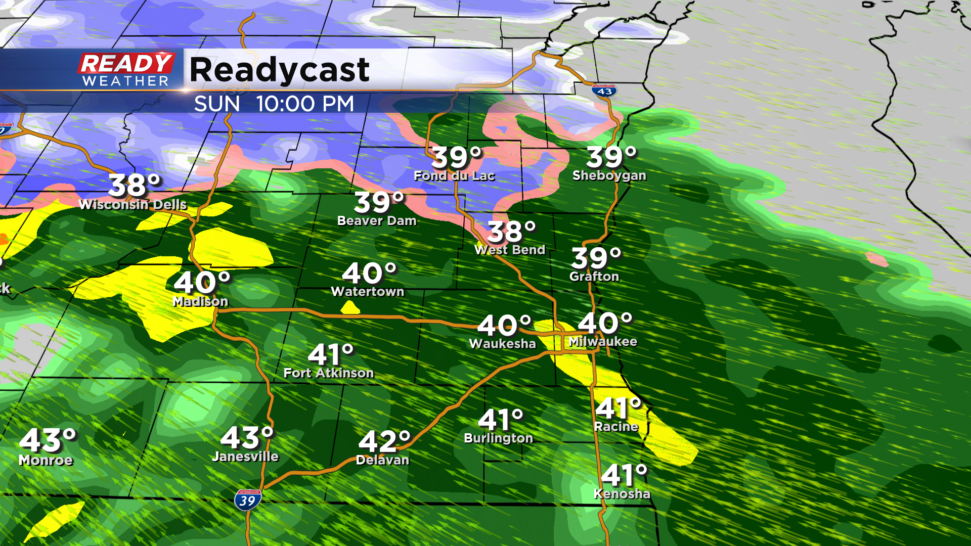
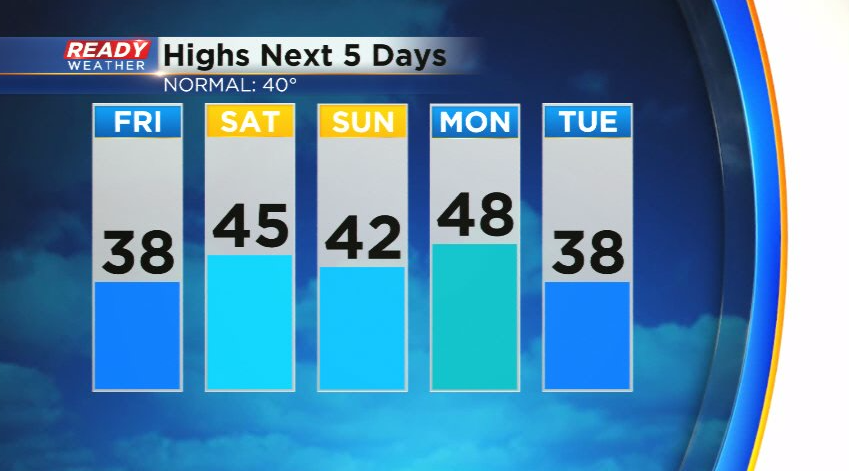
Temps will be in the low to mid 40s through the weekend and warm up briefly on Monday, but cooler temps look to settle in for the second half of next week.
Download the CBS 58 Ready Weather App to see the full 7 day forecast.
