


We saw a few rain showers Thursday afternoon and evening. After a few hours of dry time we started to see another round of rain arrive after 2 AM Friday. Those showers have continued to move in, mainly north of I-94. Far northern Fond du Lac and Sheboygan County have reported a little snow mixing in as well.
Here's a radar image that will updated with time:
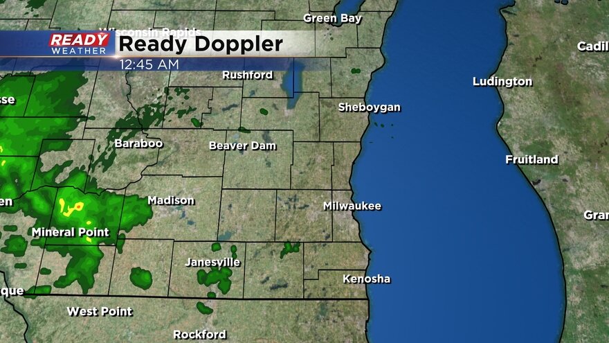
Scattered showers will be likely through most of Friday. Most of the area will see rain with a few northern areas seeing snow in our northern tier of counties. Some pockets of moderate rain and mix will be possible but most of it is fairly light and steady.

The rain/snow line continues to move north. Instead of settling around I-94 it will be up north near the Washington/Ozaukee County line with Fond du Lac/Sheboygan. Our northern counties could see an inch or two of slushy snow but most of us will see a good amount of rain, perhaps up to an inch, and maybe a bit of slushy snow.

In addition to the wetness, temperatures on Friday stay cool with highs in the low 40s. It's going to be windy with gusts above 30 mph at times. That wind will stay strong all of Friday, Friday night and Saturday. The wind will die down on Sunday with good sunshine returning.

Download the CBS 58 Ready Weather app to track the radar and the rain/mix.