


After a record breaking snowfall on Saturday, we are in store for an active and wet week. Rain chances abound through the first four days of the work week with quieter weather setting up for the weekend.
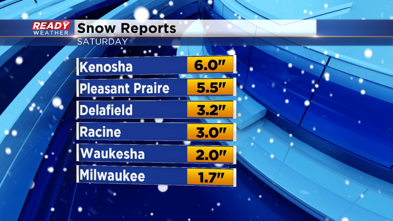
A few more snow totals from Saturday's heavy afternoon snow rolled in overnight and some southern spots near the Illinois border picked up the 6" Ready Weather had been predicting. The 1.7" of snow officially in Milwaukee breaks a record for snowfall on April 27. The old record was 0.5" set in 1913.
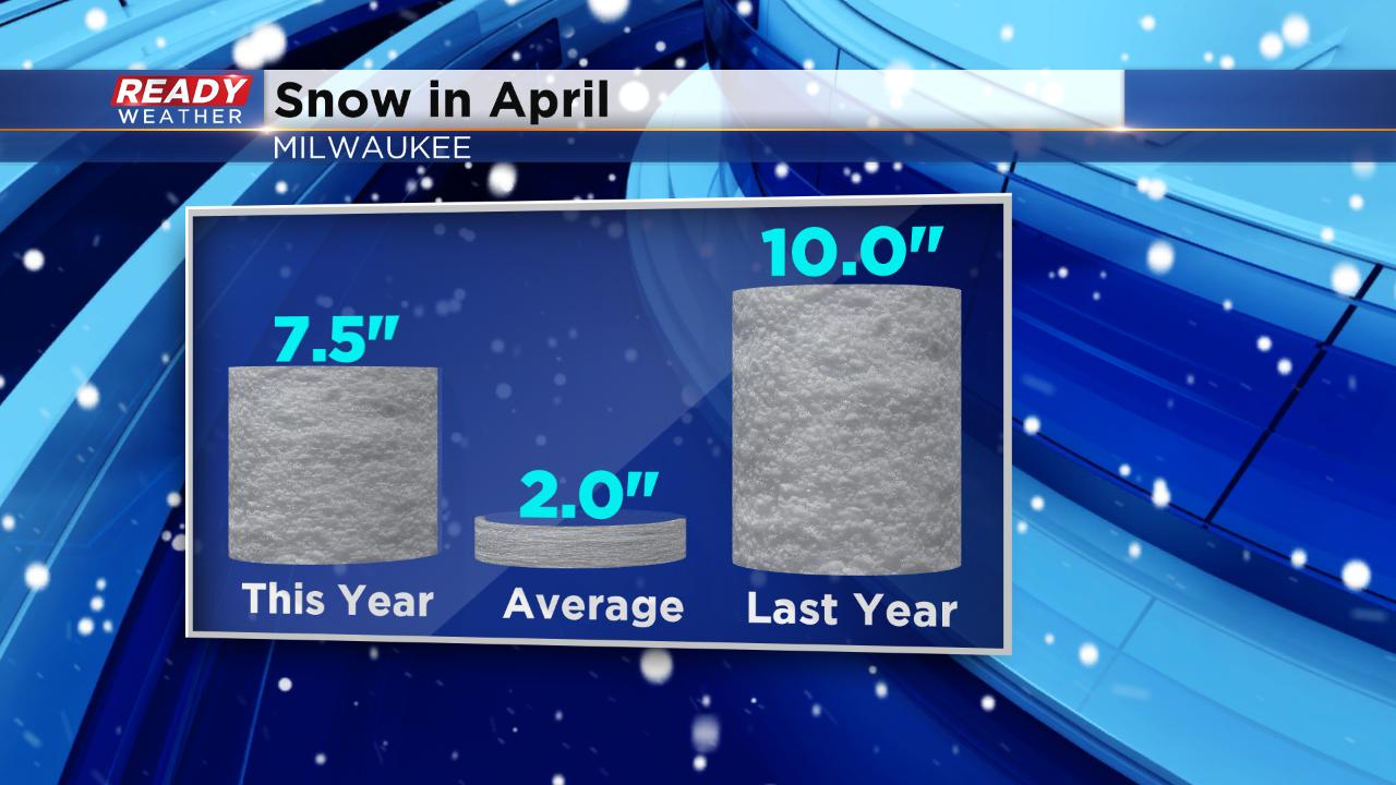
With the additional snow, Milwaukee sits at 7.5" of snow for the month of April which is well above-average but still below the 10" that fell in April 2018. The 7.5" this year puts April 2019 as the 9th snowiest April on record.
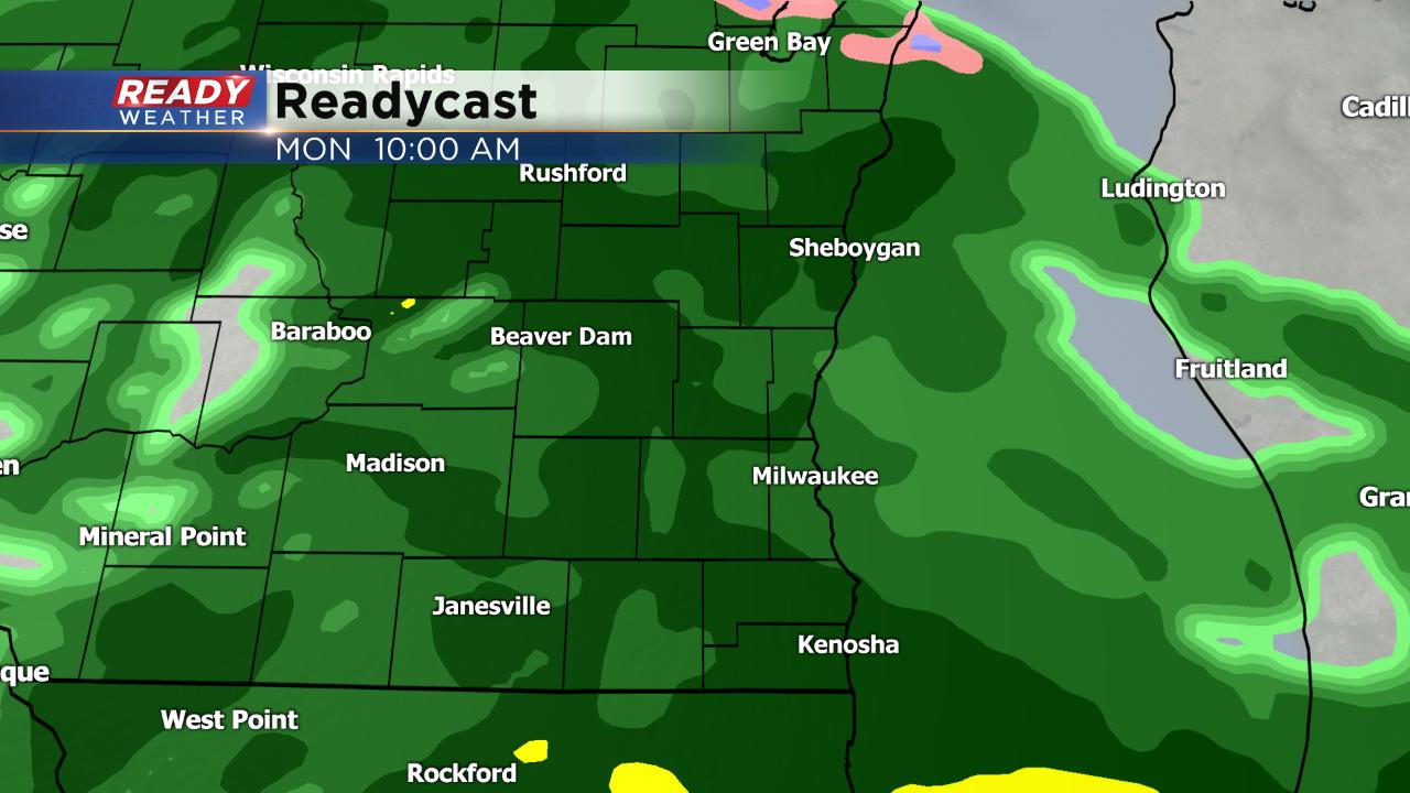
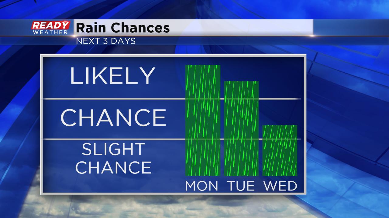
More precipitation rolls in overnight into Monday morning but this time in the form of rain. Scattered showers start very early Monday morning becoming steady at times through the morning. The rain will wrap up around noon.
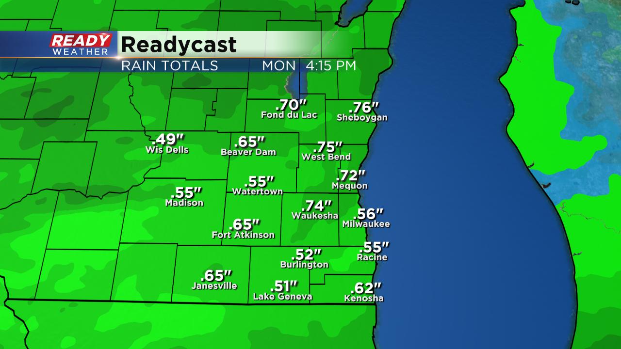
The rain is expected to be a soaker for some with a half inch to full inch of new rain by Monday afternoon.
Another round of rain looks likely for Tuesday scattered throughout the day. More chances for rain are possible Wednesday and Thursday.
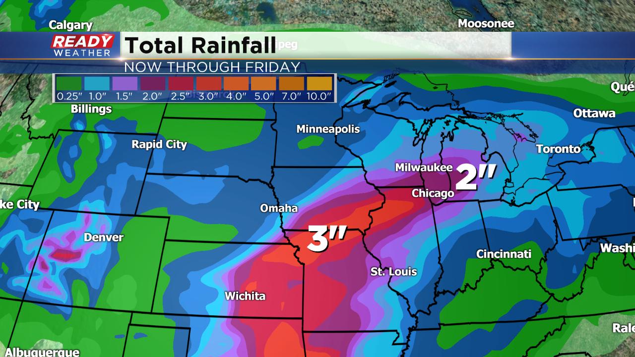
With so many rain chances, by the end of the week some of southeast Wisconsin could be dealing with localized flooding. Up to 2.5" of rain will be possible by Friday, especially for our southern communities. Parts of Missouri, Iowa and Illinois could see even more around 3" there.
Download the CBS 58 Ready Weather app to track the interactive radar the next four days.