


We have one more stellar day on tap before the weather turns a bit more active to end the week. Wednesday will be our fourth straight day with a mostly sunny sky and seasonably mild temps in the 60s.

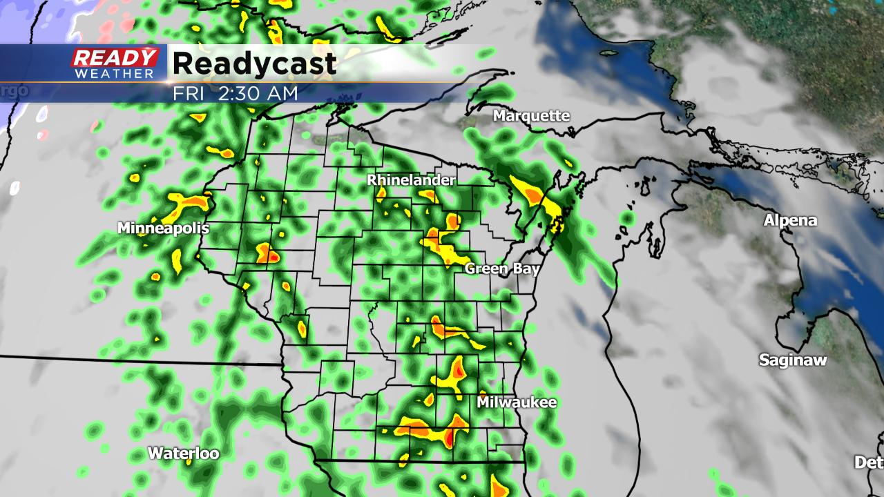
Thursday starts pretty nice and might even be a bit warmer with a high right around 70° but then the rain starts to roll in Thursday evening and lasts for most of Friday.
Luckily southern Wisconsin stays away from any snow, but parts of Montana and the Dakotas are expecting historic snowfall with over 18" in spots. Minnesota and parts of northern Wisconsin will likely see some accumulating snow too. Although we can't rule out an isolated flurry here or there on Saturday or Sunday, we stay on the warmer side of this storm with mainly rain.
A good chunk of rain is expected with rain totals surpassing 1" in spots by the time it ends Friday evening.

The next round of heavy rain comes after what has already been a soaking October. Nearly 3" of rain has fallen this month making it already the 27th wettest October on record. It's actually still below last October which continued to stay wet from August and September. The average rain for the entire month is 2.65" so we already know we will end the month well above-average.

Download the CBS 58 Ready Weather app to track the Wednesday sunshine and rain to follow.