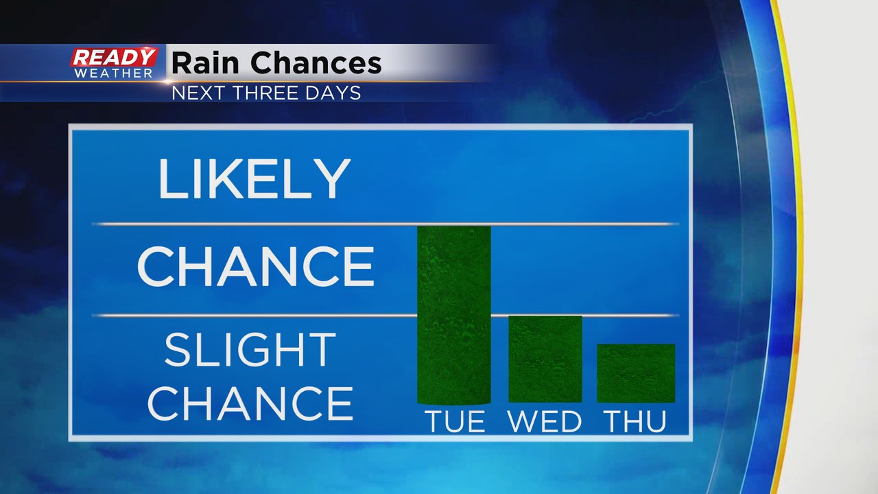
This week is shaping up to be one of those weeks where every day has at least a little bit of a rain chance as a closed upper level low pressure system rolls across the United States. These types of storm systems typically advance very slowly across the state but forecasting their movement can be difficult.
Here's a current radar image that will update with time:
Tuesday's rain chance is best in the morning in our southern counties then a few showers could linger into the afternoon and evening. Wednesday's rain chance is fairly isolated but a few thunderstorms are possible. Thursday at this point looks dry but a few weather models are just starting to get on track with some rain. Friday and Sunday also have chances right now.
Going into the rain on Tuesday we are doing pretty well on rainfall for September. We've had good rain this month with a soaking rain followed be a few days then rinse and repeat which is just what we need to get out of our drought. The month of September is currently 0.82" above-average on rainfall. But we still have a rain deficit for the spring and summer and for the entire year.
Download the CBS 58 Ready Weather app to track the rain chances this week.


