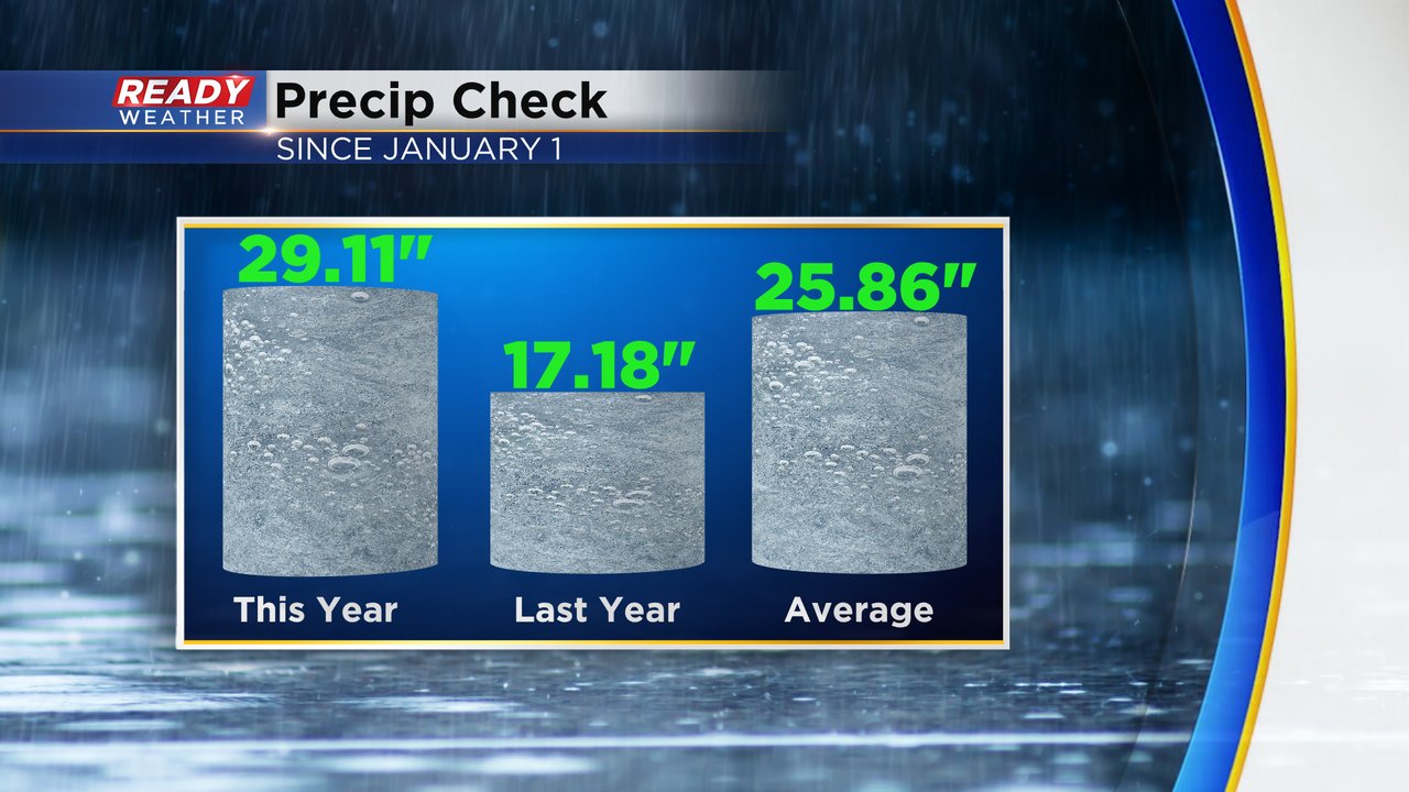
We are still feeling the effects of the soaking and flooding rain we had over the weekend. In just one day we saw a precipitation deficit of over two inches for the year turn into a 2" plus surplus. And then with some more rain Monday morning and again Monday night into Tuesday we now have a precipitation surplus for the year of 3.25".
With all the rain we picked up over the weekend it is officially the 17th wettest September on record. The wettest September on record is 1941 when we had almost 10" of rain. And that's just in the Milwaukee area. Parts of Racine County are seeing their wettest September on record.
The rain we picked up in Milwaukee from Sunday through Tuesday totaled 5.72". That's a lot of rain and when you compare it to the last few weeks and months it's even more impressive. The two months before this weekend only saw 5.06" of rain. So we've seen more rain the last 72 hours than we did for the two full months before it.
Thankfully the sunshine has returned and our rain chances are very low the next few days. Download the CBS 58 Ready Weather app to track when the next rain chance arrives.


