Updated 3:15pm: Light showers, rumble of thunder possible into the evening
Updated: 3:15 pm Friday, May 21st:
A few showers have moved across southeast Wisconsin today and more are on the way as an area of light rain to our west slowly pushes northeast. A few additional showers are pushing in from Illinois as well.
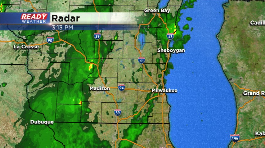
The clouds overhead will likely prevent isolated storms from developing, but we're still keeping an eye out for rotation. However the threat for any severe weather now through this evening looks fairly low. Showers will come to an end late this evening.
--------------------------------------------------------------------------------------------------
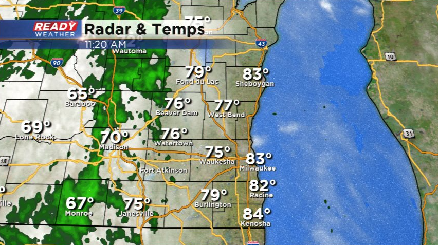
It's been another warm start to the day with temperatures already well into the 70s and 80s as of late morning! While we've had some sunshine here or there, there are a few very light showers to our west that are tracking northeast into Dodge and Fond du Lac counties.
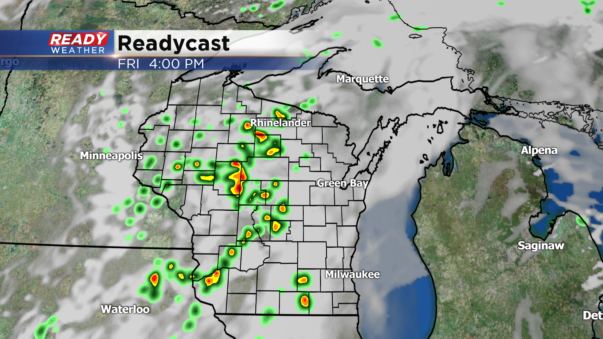
While we'll have the light shower chances, we'll be watching for an isolated thunderstorm or two later this afternoon and evening, however the best chance will remain to our northwest.
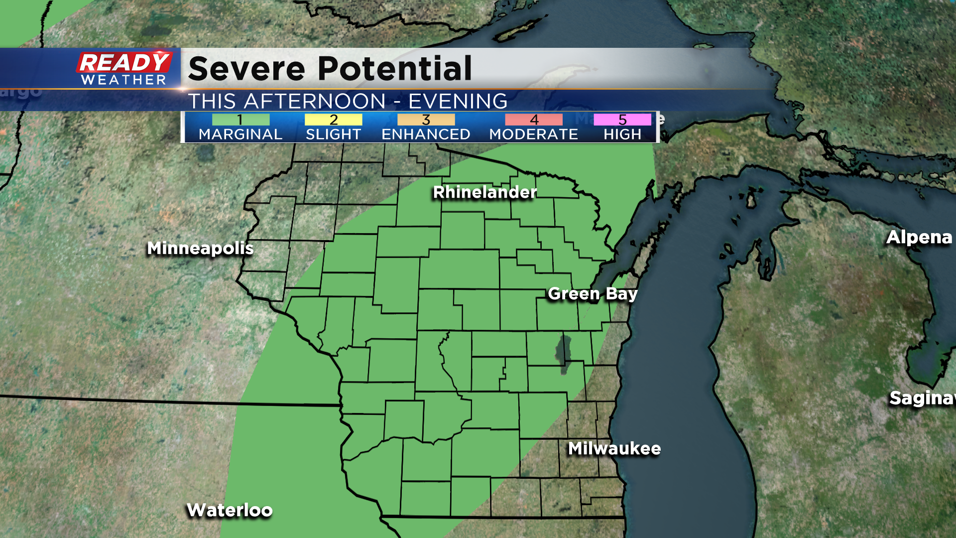
*If* a storm is able to pop up in southeast Wisconsin, there's a small chance it could be strong to severe. Because of this small severe threat, there's a level 1, Marginal Risk, in place for portions of Fond du Lac, Dodge, and Jefferson counties for this afternoon and evening, but the better chance for severe storms will remain across central Wisconsin. Strong to severe storms are not expected in the Milwaukee metro.
Gusty winds will be the main threat in these isolated storms, but there's enough spin in the atmosphere that we can't rule out a brief tornado.
Any storms that do pop up will fizzle out by sunset, but a few light lingering showers are possible overnight. Download the CBS 58 Ready Weather App to get any warning sent directly to your phone.
