Snow for Thursday, but it looks like we miss out on a weekend winter storm
There are plenty of weather stories to talk about as we head into Christmas. Thankfully the computer models have come into more agreement with snow for Thursday night into Friday morning, and the lack of a winter storm for the weekend.
There's plenty of dry air aloft for Thursday morning into the early afternoon. That dry air will eventually be overcome by the evening as light snow develops across the area. The exception will be right along the border of IL/WI. Those counties could see a mix of snow or some light freezing rain or drizzle.
Snow totals across the area will generally range from 0.5" to 1.0" around the metro, with totals between 1" to 2" across our northern counties.
The Thursday late evening commute could become slick with lingering snow into Friday morning.
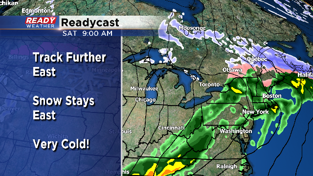
The storm that looked to come through Friday night into Saturday has shifted well to the east, so we aren't expecting issues heading into the weekend.
