Staying warm with rain chances to start the new work week before temps fall


Southeast Wisconsin experienced mid-summer warmth for the first weekend of October! Highs on Friday and Saturday topped out at 87 breaking a record for Friday and coming just a degree short on Saturday. Sunday stayed in the 80s as well at 82.

Monday's record high temperature is also the record high for the entire month of October! Back in 1963 Milwaukee reached 89 degrees on October 6th. Milwaukee has never hit 90 degrees during the month of October.

Monday won't be near that record high but it is still going to be a warm day with highs reaching the middle to upper 70s. Then we get a cold front that rolls in which drops temps into the 60s on Tuesday and a couple of cool days Wednesday and Thursday in the low 60s before warming close to 70 for the upcoming weekend.

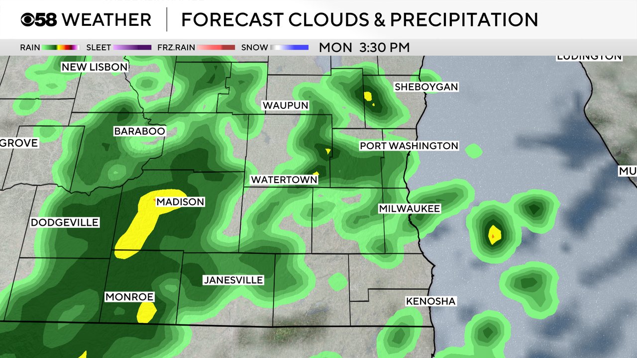
The cold front that drops our temperatures will also bring in our first rain chance in almost two weeks. Scattered showers have already moved into a few northern counties Monday morning.
Here's a radar image that will update with time:

The Milwaukee metro area and counties south of I-94 might not see any rain until the mid to late afternoon hours through the evening. With rain in the forecast, the roof at American Family Field for the Brewers vs. Cubs game will be closed. Showers could continue through Monday night into early Tuesday morning but sunshine begins to return by Tuesday afternoon. An isolated rumble of thunder may be possible over the next 24 hours but most of the rain looks to remain showery. Rain totals look to hover around a quarter inch of rain. Some areas might be closer to a tenth of an inch but others might see as much as a half inch of rain or more!
Download the CBS 58 Weather app to track the rain and the falling temps this week!