Storm chances increasing for Thursday. Some could become strong.
Thursday will feature temperatures well into the 70s along with humidity and a chance for two rounds of storms. A complex of storms will develop late tonight to our northwest and roll across southeastern Wisconsin for Thursday morning into the early afternoon.
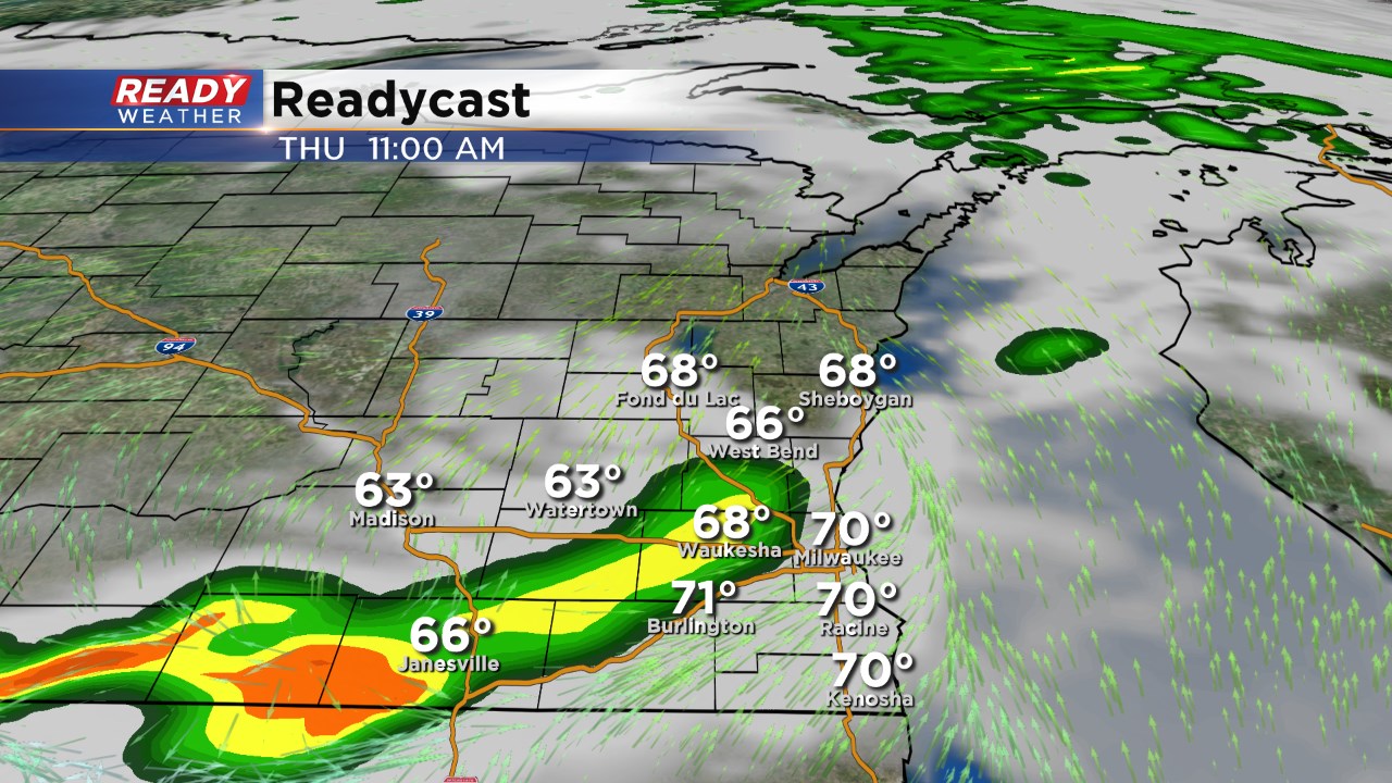
As the storms march across the area they could pack a punch. Gusty winds, small hail, and even some heavy rain is expected. While the overall severe threat is isolated, a few storms could trigger a warning or two.
There are additional chances for storms to redevelop by the evening ahead of the front. There is some question on available instability, but if the morning convection can clear out, more storms could fire and pulse up.
The front doesn't completely clear us with cooler temperatures and rain showers expected on Friday.
