Warmest day of the year followed by storms and a cool down


The last day of May may be the warmest of the year. Thanks to a decent amount of sunshine through the afternoon and a breezy southwest wind high temperatures Friday will likely reach the 80s across almost all of southeast Wisconsin.
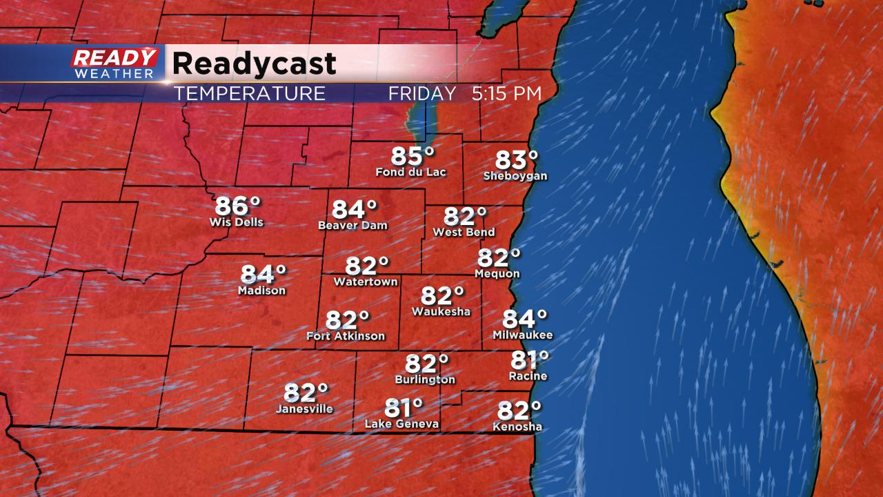
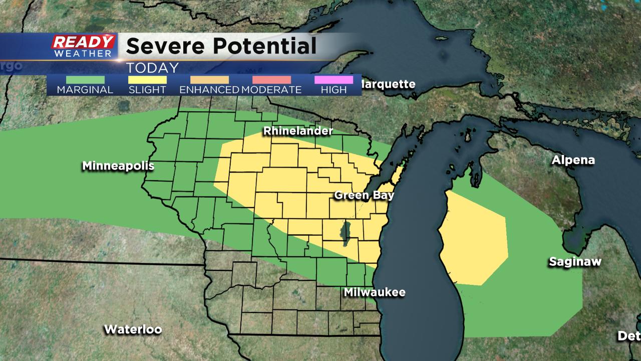
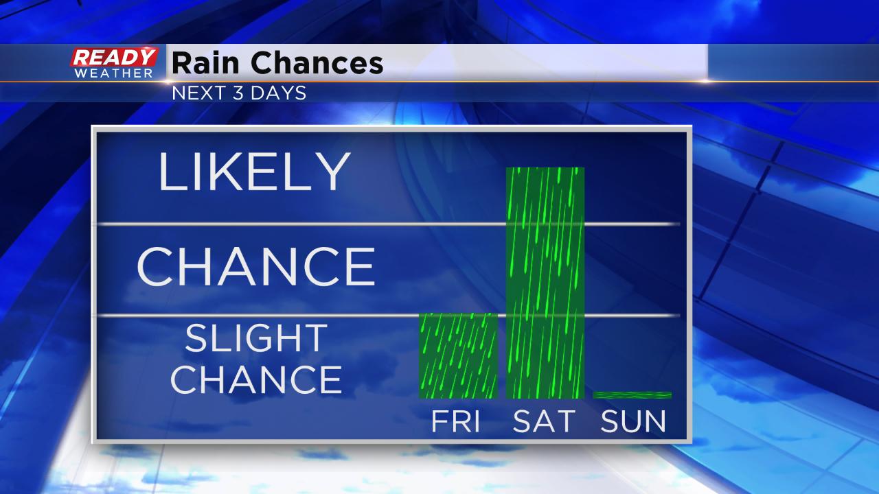
So far the warmest day of the year is 83° so it will be close. All of that heat combined with a front moving north to south across the state could spark a few showers and storms Friday evening into the overnight. The chance for rain starts after 7 p.m. and is best in our northern counties. Parts of Fond du Lac and Sheboygan Counties are under the "slight" risk for severe weather with a chance for some hail and strong wind.
The rain chance will increase on Saturday. Off and on showers and storms are likely for most of the day. There will be some dry periods but if you're going to be outside for an extended period of time expect to get wet. Sunday kicks off a prolonged and well-deserved dry stretch of weather.

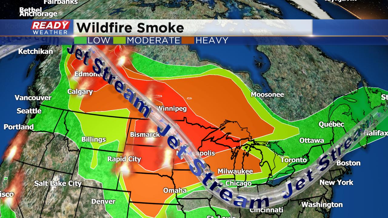
If you've noticed some haze in the sky, you're not wrong. There are some intense wildfires burning in Alberta, Canada right now and the jet stream is picking up that smoke and depositing it across most of the Upper Midwest including Wisconsin. Moderate to heavy smoke is currently being observed across the state.
Download the CBS 58 Ready Weather App to track the storms this weekend and see how hot it gets in your location.