


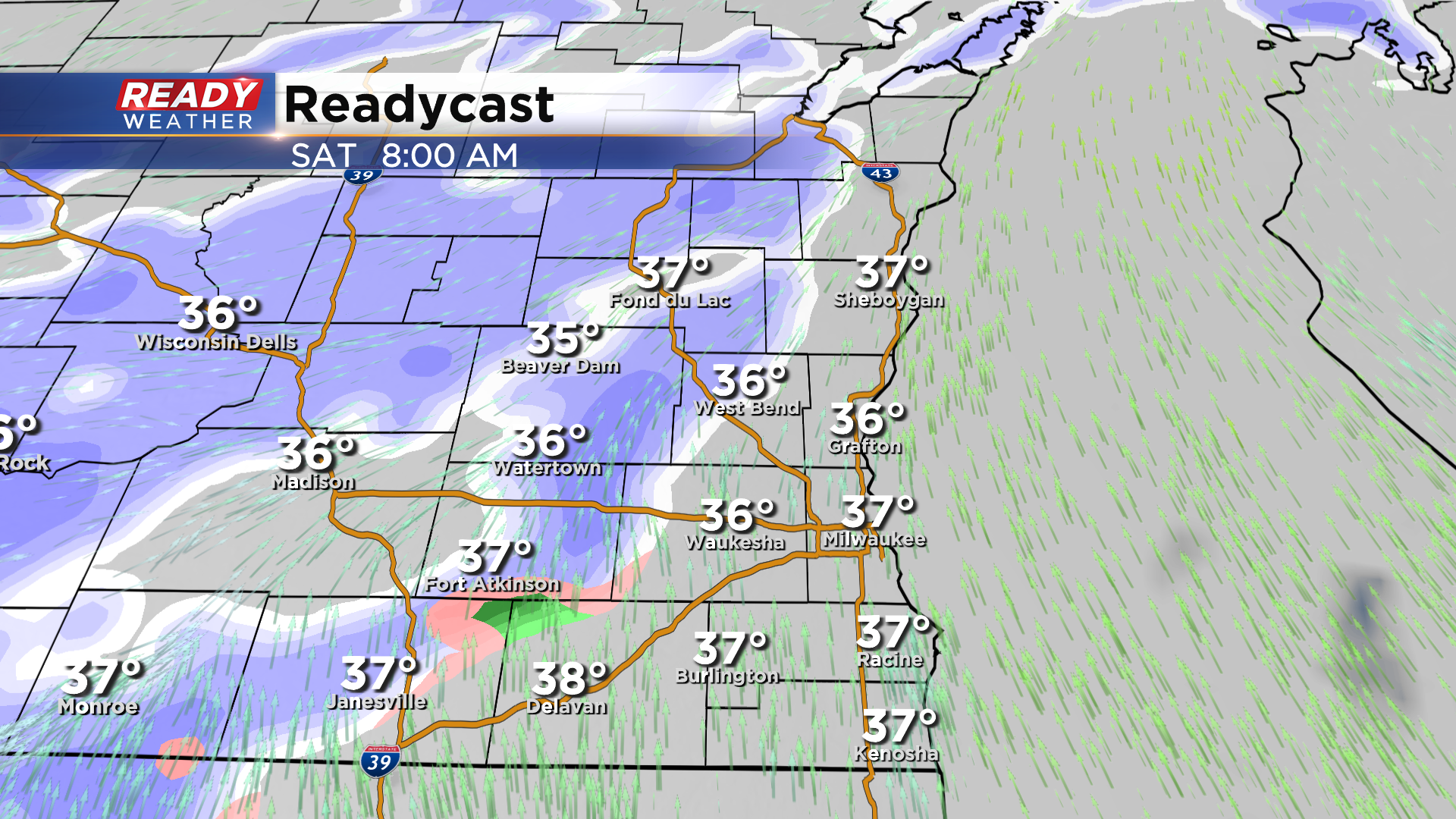
Clouds have finally cleared out of southeast Wisconsin, but they won't be gone for long as our next weather maker moves in to start the weekend. Dry conditions will continue through tonight, but wet snow pushes into southeast Wisconsin after 7am Saturday.
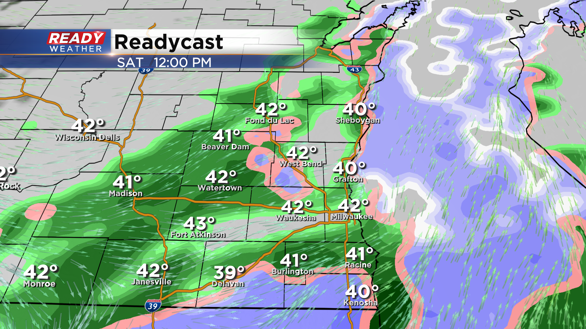
Snow will mix with and change over to rain late in the morning with showers continuing through the first half of the afternoon.
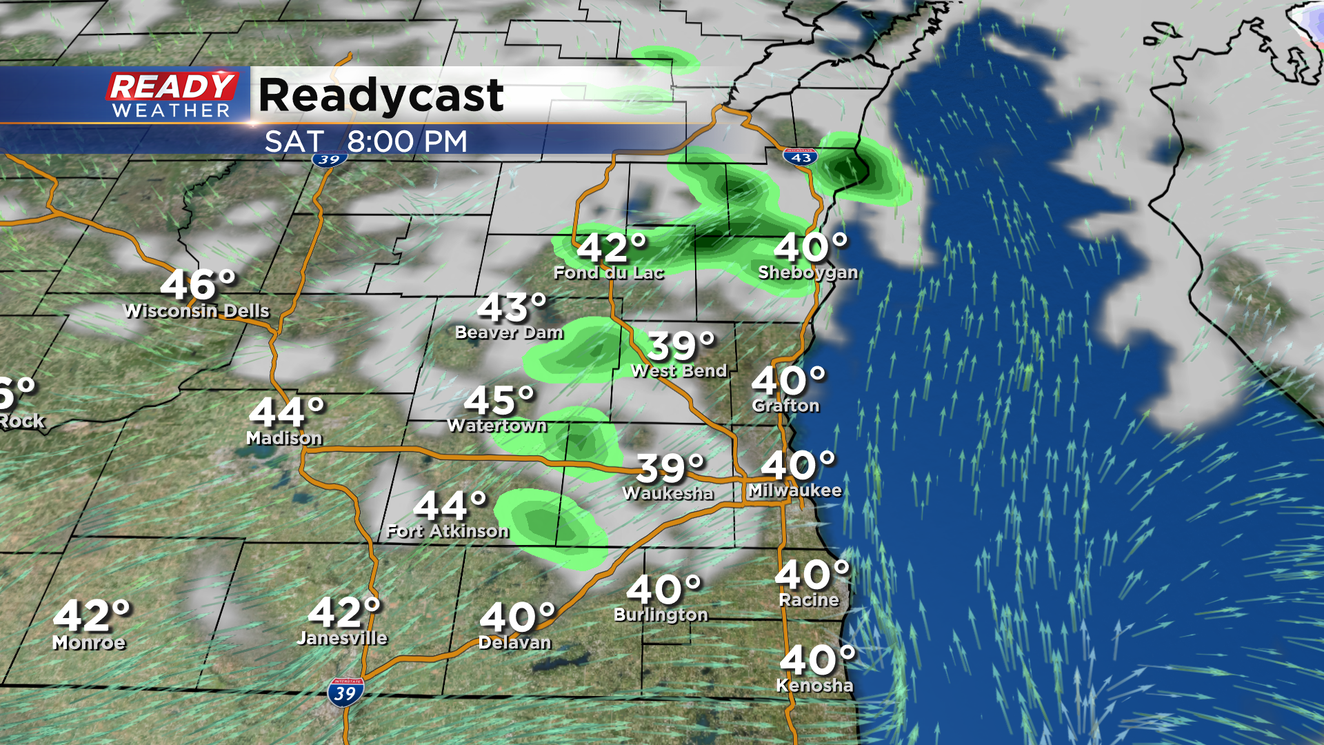
After some dry time late in the afternoon, a few more isolated showers will be possible during the evening before drying out overnight.
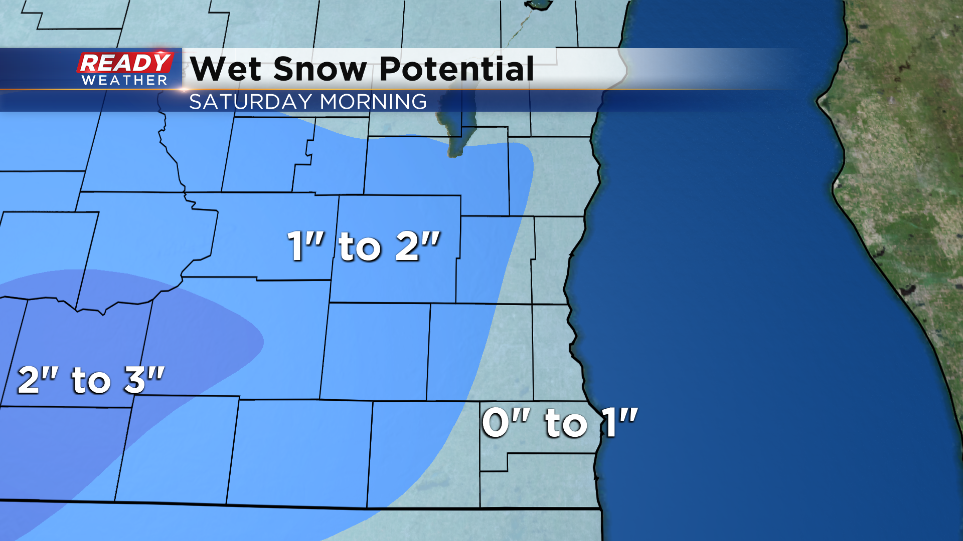
The snow will be very slushy, similar to Thursday morning, and will mainly accumulate on the grass. Western areas could pick up an inch or two of slush while lakeside areas will likely be under an inch of slush on the grass.
After drying out during the day Sunday, another round of wet snow and rain moves in later Sunday evening and overspreads the area Sunday night into early Monday morning. More minor slushy accumulation is possible, mainly north of I-94. Keep up with the forecast through the weekend as this may impact the Monday morning commute.
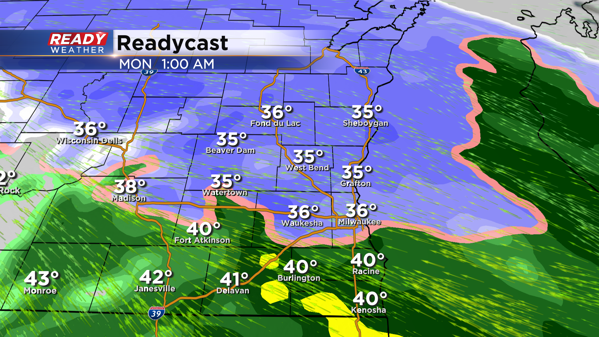
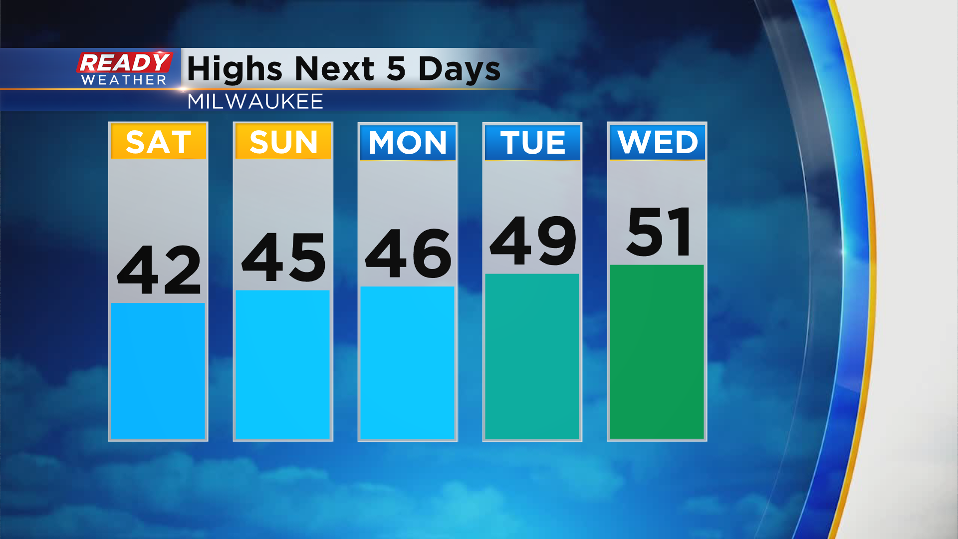
Otherwise temps will generally be below normal with highs in the 40s into early next week. We may touch 50 degrees on Wednesday, but another system will be bringing us rain by then.
Download the CBS 58 Ready Weather App to track the active weather and snow chances.