Winter Weather Advisory issued ahead of freezing rain late Monday through Tuesday


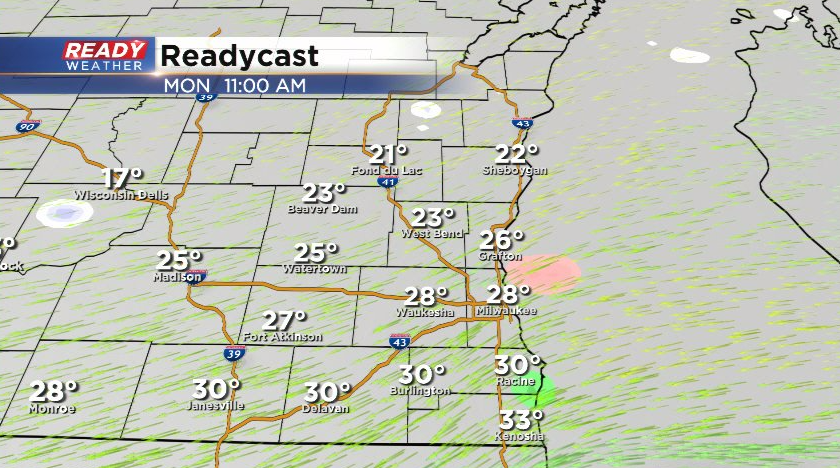
After a very mild end to the weekend with highs in the low 50s area-wide, it's back to the reality of winter this week. A cold front moves through tonight and shifts our winds to the northeast for Monday. This could bring some very light drizzle to lakeshore area during the day on Monday, but the main show won't arrive until after sunset.
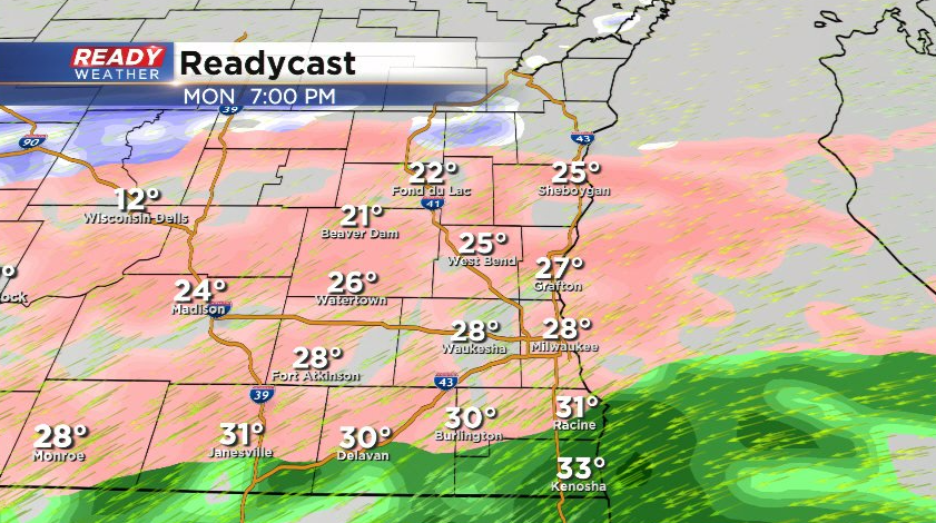
Precipitation will primarily be freezing rain as it moves in Monday evening, but temps may be warm enough in far southeast Wisconsin for regular rain for a couple of hours.
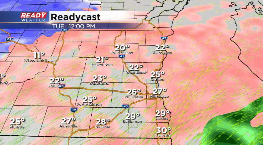
This will transition to all freezing rain overnight Monday into Tuesday morning. Precipitation will stay primarily freezing rain most of the day Tuesday, but could transition to more sleet than freezing rain NW of the Milwaukee metro.
Some spots may fluctuate between sleet and freezing rain north and west of Milwaukee on Tuesday.
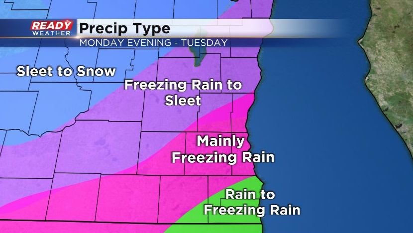
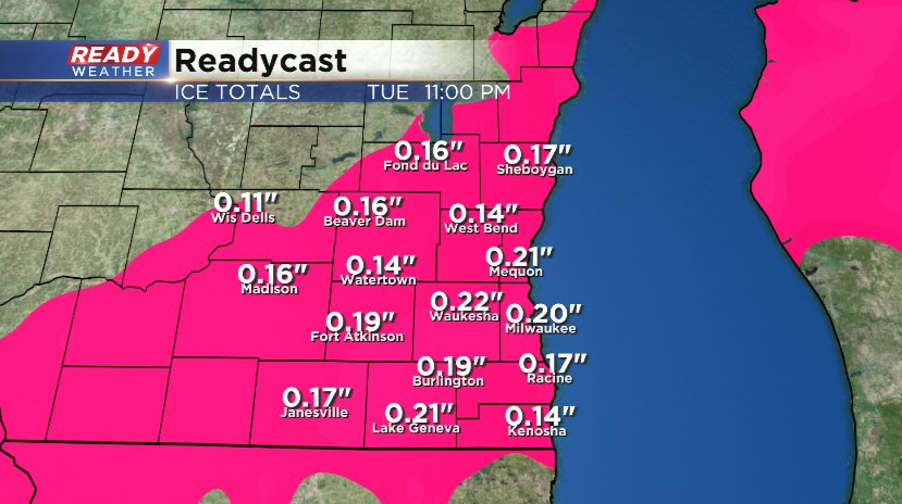
As the system exits the area around sunset Tuesday, we could see a brief changeover to snow, but not much in the way of any accumulation is expected. We're expecting ice accumulations between 0.1-0.3" throughout Tuesday, which will lead to potentially treacherous and icy roads.
While the wind won't be overly strong with this system, we'll still likely see gusts between 20-30 mph. The combination of ice accumulating on trees and power lines and the breezy winds, we could have some power outages on Tuesday into Tuesday night.
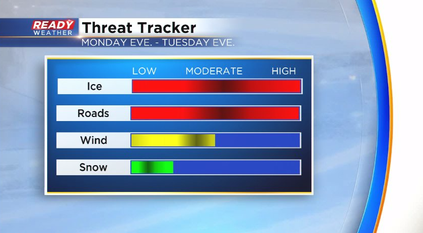
If you have the option to work from home on Tuesday, stay home. The less cars on ice covered roads the better. Temps drop back into the 20s the rest of the week behind this system. Download the CBS 58 Ready Weather App to keep up on any changes in the forecast over the next 48 hours.