Winter weather advisory issued for blowing snow Wednesday


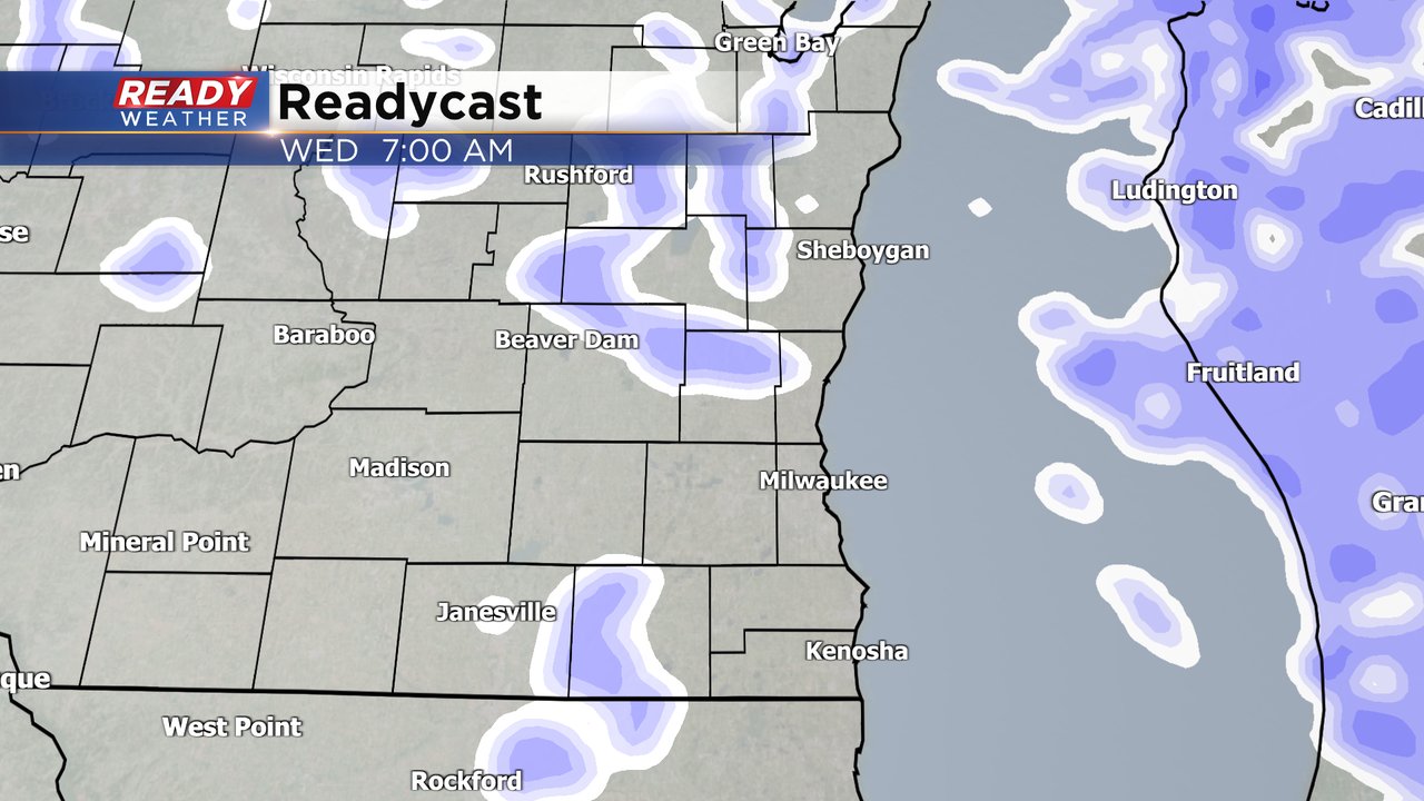
Another round of snow is on the way for the middle of the work week. Some light snow will start around midnight Tuesday night and last off and on through most of the day Wednesday wrapping up in the evening.
Although the snow will not be heavy, the wind will. Because of the concern for blowing and drifting snow leading to low visibility a winter weather advisory has been issued from midnight Tuesday night through 6 PM Wednesday evening. Some areas could see near blizzard conditions. Remember that you don't need snow to be falling from the sky in order to get a blizzard it just has to be blowing enough to reduce visibility below a quarter mile.

Snow totals for Wednesday's event will remain fairly light with under an inch for most of the area south of I-94. Those living north of I-94 have a better chance to see 1-2" of new snow.

Wind gusts will be the bigger issue. The wind starts to become a problem Tuesday afternoon with gusts ramping up to about 30 mph. The strong wind gusts will peak around 45 mph Tuesday evening and stay that strong through Wednesday evening. By Thursday the wind dies down a bit but still stays breezy.

The biggest threats with this next round of snow won't be the falling snow itself but rather the blowing and drifting snow causing reduced visibility and making driving difficult. Cold air will also start to return to the area with midday highs around 20 and wind chills going below-zero in the afternoon.

Download the CBS 58 Ready Weather app to track the snow and wind. .