Hot temps coming, strong storms tonight
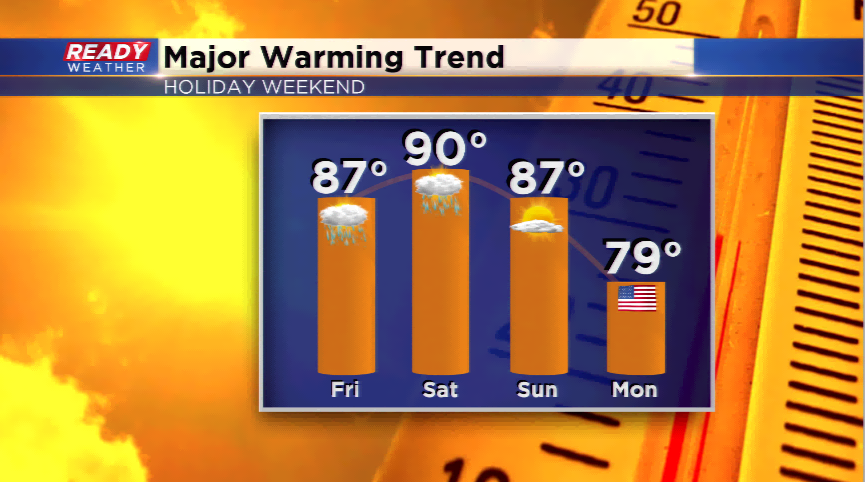
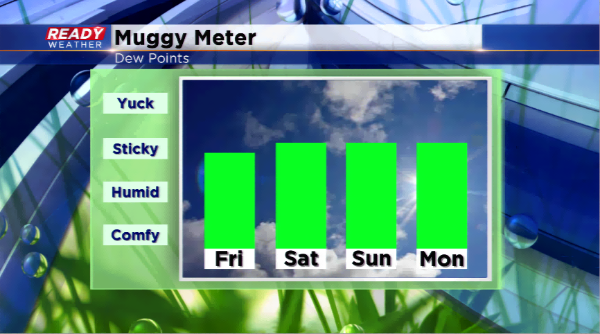
The holiday weekend will feature very hot temperatures and an increasing in humidity. With a warm air mass settling in, 90s are possible starting today through the weekend. Records are even in jeopardy:
Friday: Forecast High 89/Record High 93
Saturday: Forecast High 90/Record High 91
Sunday: Forecast High 92/Record High 94
This is by far the warmest air of the year. With yesterday’s high of 80, we have reached 80 degrees or warmer five times this year. We could possibly hit 80 degrees or warmer the next week every day!
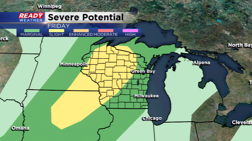
With the hot and humid air, thunderstorms are possible. There are slight chances from the heating of the day today, but better chances for tonight. They will start out in the central part of the state and swing east and southeast. The Storm Prediction Center has a *slight* risk for severe weather to the west-northwest of the viewing area, and a *marginal* risk of strong to severe storms for our viewing area. The main threats will be large hail up to 1” in diameter and strong winds.
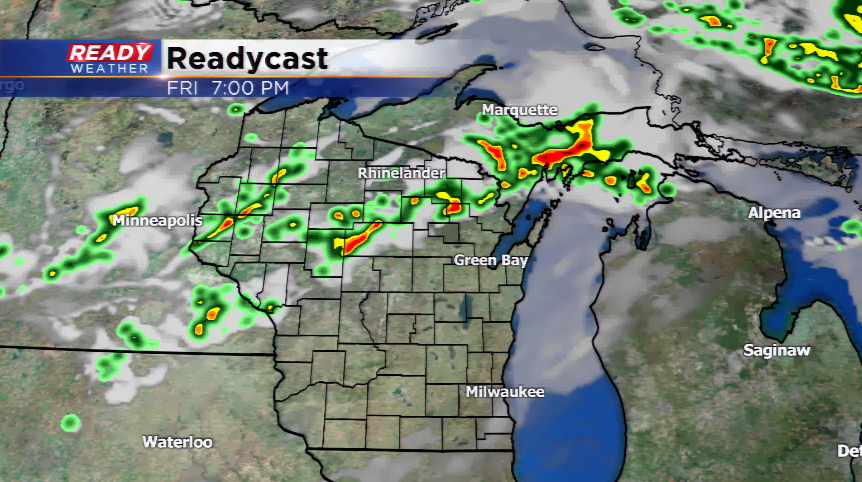
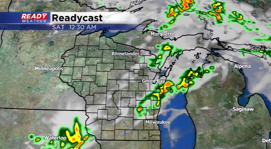
The activity for storms will end early Saturday. The forecast features quiet weather for the rest of the holiday weekend, so enjoy!
