National Weather Service confirms at least three tornadoes from Friday evening
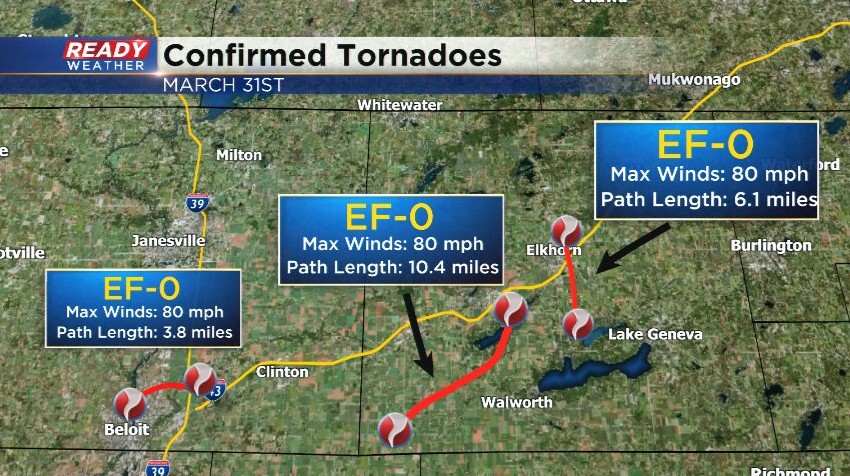
The National Weather Service in Milwaukee has confirmed three EF-0 tornadoes touched down in southern Wisconsin from Friday's line of storms. Two tornadoes tracked across Walworth county and while another touched down in Beloit in Rock county.
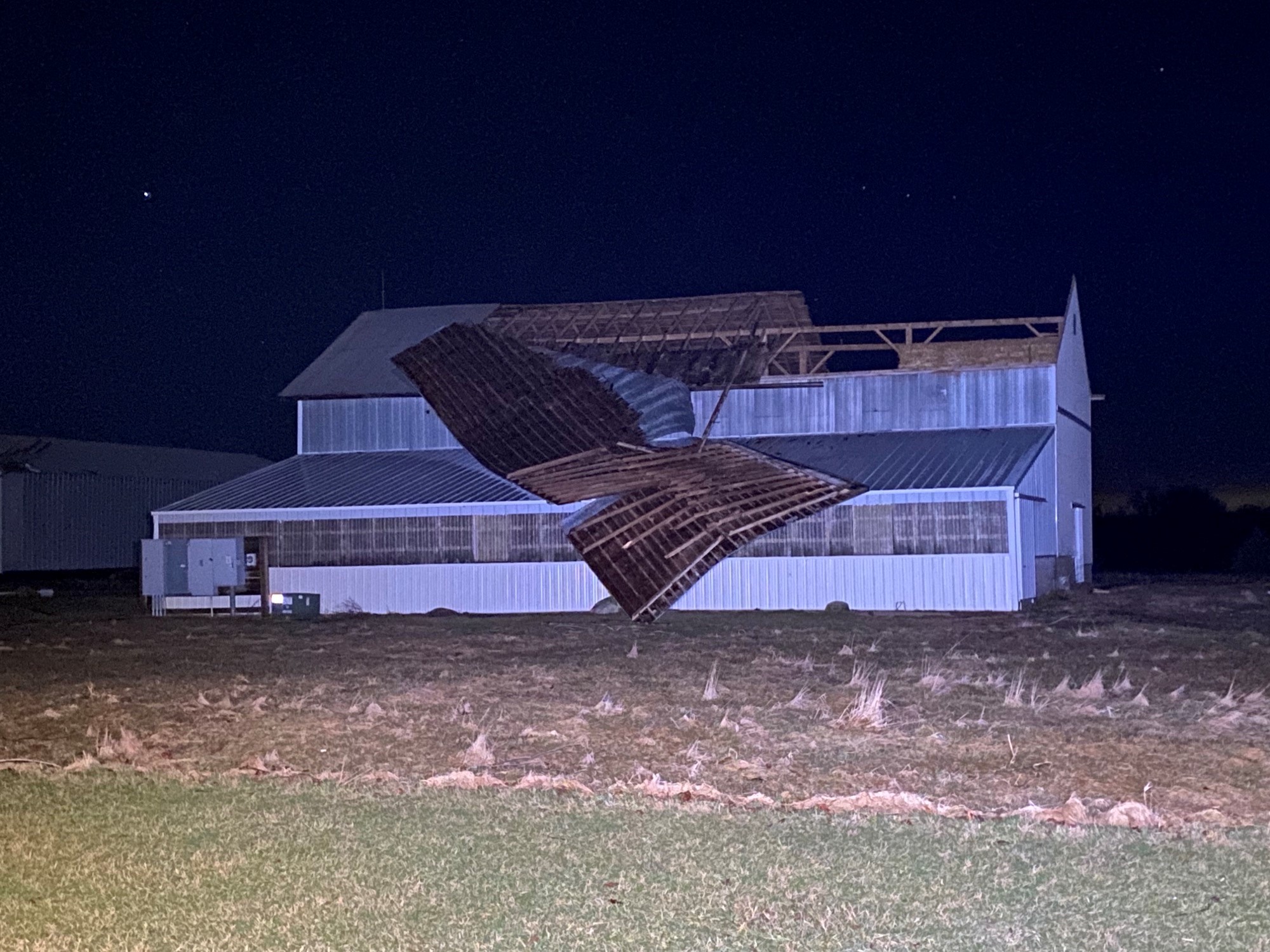
The first tornado in Walworth county touched down in Sharon and stayed on the ground for over ten miles before lifting over Delavan Lake. It mainly tracked across rural locations, but did damage a few barn roofs and uprooted trees near Delavan Lake. The tornado was 150 yards wide and had a peak wind speed of 80 mph.
The second tornado spun up near Lake Como and tracked due north for 6 miles, moving right across the east side of Elkhorn. Damage began at the Geneva National Golf Club and tracked north along Prairie Road and county road H. The most significant damage was to a storage facility that had a large amount of roofing material sheared off and thrown about a mile. This tornado was also 150 yards wide and had a peak wind speed of 80 mph.
Additional damage surveys are planned for Sunday near Lake Ripley/Cambridge and in Green county, so more tornadoes may be confirmed. These are the first tornadoes in Wisconsin this year. On average, we usually get 23 tornadoes each year in the state.


