Record warmth with very strong wind Tuesday and Wednesday
Are you ready for it?! Our well-advertised warmth is here! A front rolled into Wisconsin Monday night which dropped a few sprinkles north of I-94 but also brought in some warmth with morning temps already reaching 70 degrees in spots. That warmth will continue all day with highs reaching 80 degrees or a bit warmer Tuesday afternoon. The old record of 81 set in 1937 is likely tied. We are also watching the record warmest low for Wednesday morning which is currently 59 degrees but we likely only cool into the mid 60s. Wednesday's high temperature is likely in jeopardy as well with the old record of 78 likely broken with a forecast of 80.
After the record warmth Tuesday and Wednesday, Thursday will be our changing day. A cold front rolls through Wednesday night that drops the temps throughout the day on Halloween Thursday. We likely wake up to temps in the 60s Thursday morning then fall into the low 50s by the time you're heading home from work and for trick-or-treating. Friday is the chilly day this week then we warm back up this weekend.
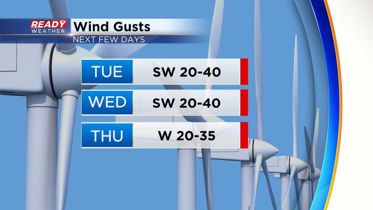
It will take some serious wind to warm the temps up to record levels. The southwest wind will gust to 40 mph both Tuesday and Wednesday with gusts to 35 mph on Thursday.
As the cold front rolls in Wednesday night there is a threat for heavy rain and some strong storms around and west of Madison. As that line of storms rolls our way it likely weakens but an isolated storm or some downpours are still possible Wednesday night through Thursday morning in southeast Wisconsin.
Download the CBS 58 Ready Weather app to track how warm you will get at your house with the hour-by-hour forecast!


