One Last Round of Storms Possible This Evening


Updated 6:45pm Sunday
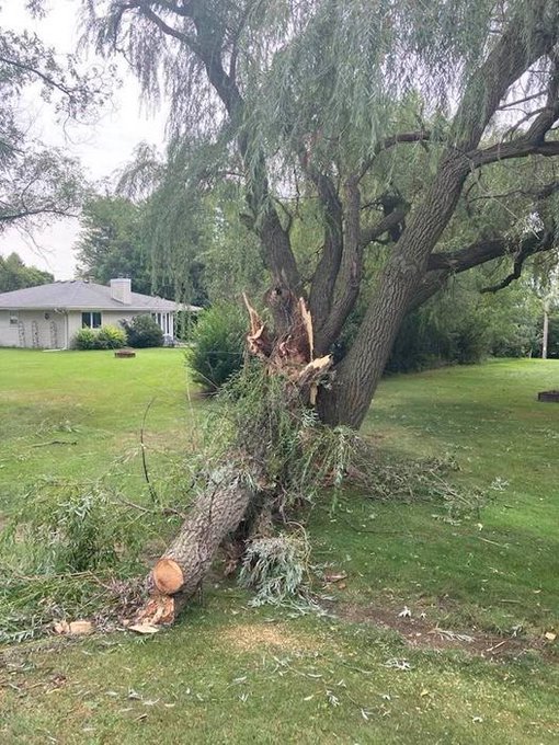
We've had multiple rounds of rain and non severe storms today. While warnings aren't issued for lightning, a bolt took this large tree down in Oak Creek earlier in the day.
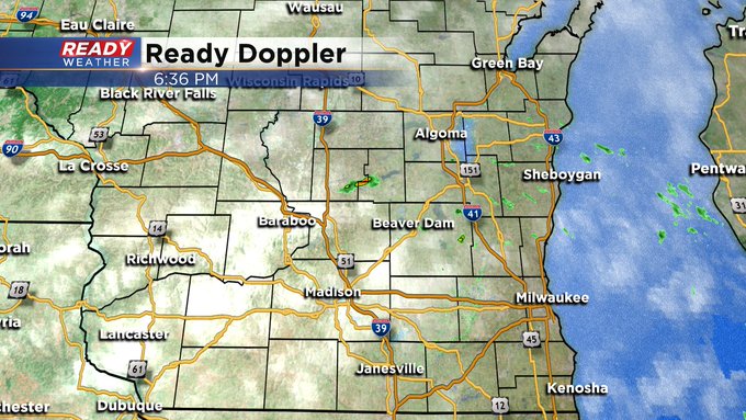
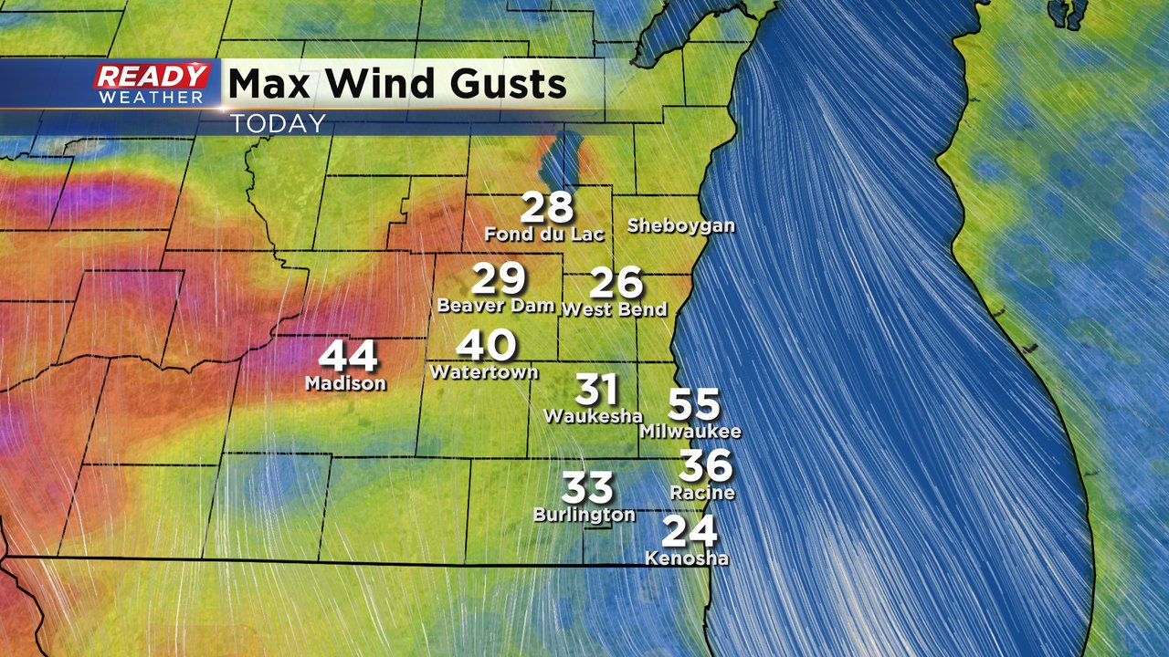
Updated 3:15pm Sunday
We had a round of morning rain. To follow, a weather phenomena called a wake low developed and provided wind gusts over 50mph in spots. Check it out:
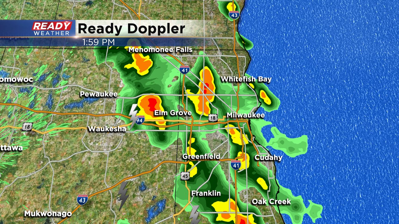
After these gusts, additional storms fired during the early afternoon.
Currently, sun has returned across the area, and with a south wind, temperatures should spike into the 70s approaching 80 in some spots.
Afternoon heating along with low-level moisture should create a moderately unstable airmass with a chance for showers and storms to form this evening. The best timing for storms will be from 5 pm till 9 pm, with the bulk of them around 7 pm.
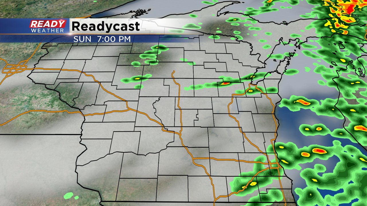
Storms that do fire will have the chance to become strong to severe. Hail and damaging winds are the main threats; however, there's enough shear that a storm or two could rotate and produce an isolated tornado.
Labor Day is looking nice although cooler with highs in the 60s to low 70s. And rain holding off until the night.
I'm meteorologist Rebecca Schuld