Rain should be ending around 10 PM. Evening flooding remains a concern.


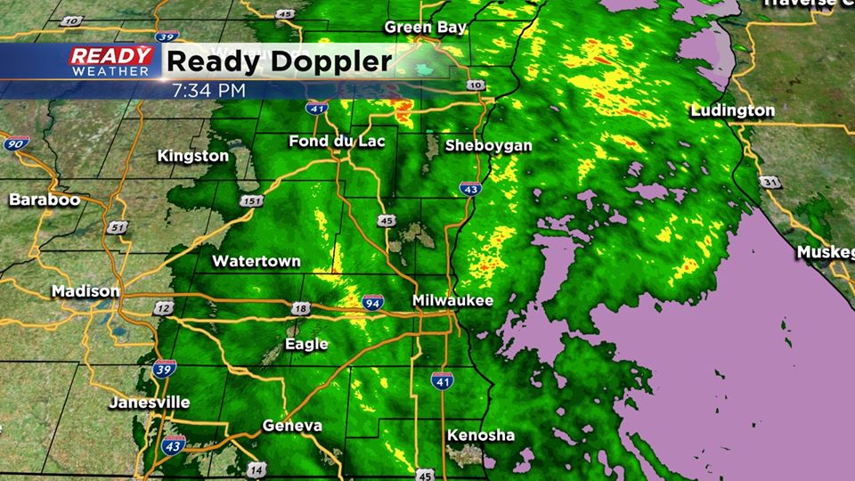
7:30 PM Update:
The cold front has passed through the area as strong northwest winds have arrived. The shield of rain will move across the entire area by 10 pm giving the area a chance to dry out overnight.
Many areas across Dodge and Fond du Lac counties picked up 2" to 4" of rain creating some flooding issues.
______________________________________________________________________________________________________________
5:30 PM Update:
The instability that brought very heavy rainfall and hail earlier this afternoon has dissipated. The cold front is bringing a change in the wind and eventually an end to the rainfall.
Expect a few lingering storms over the next hour; however, most of the rain this evening will be light to moderate through Midnight. Rain will move out and dry weather will be with us overnight into Thursday morning.
______________________________________________________________________________________________________________
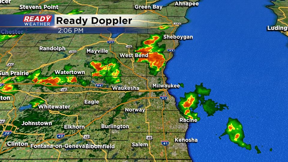
2:15 PM Update
Storms that pulsed up an hour ago have weakened below severe limits. There were plenty of hail reports across Waukesha and Washington counties. Thankfully the storms have lost some energy.
We do expect isolated showers and a few storms possible through 4 pm; otherwise, light to moderate rain arrives for the evening.
______________________________________________________________________________________________________________
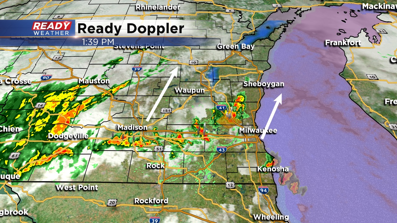
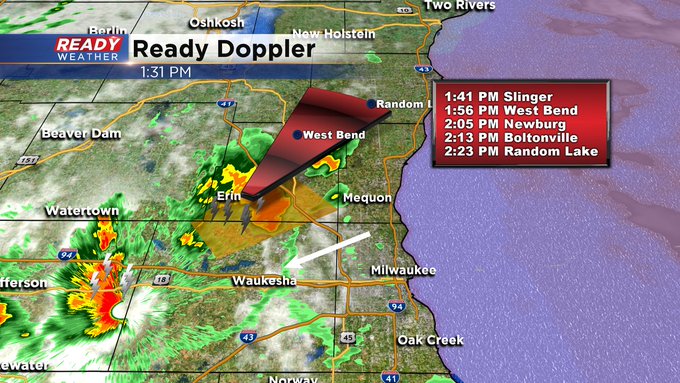
Heat, humidity and instability are triggering storms to quickly fire this afternoon.
I'm meteorologist Rebecca Schuld