Evening Update: Chance for showers and storms later tonight
The nasty strong to severe storms this afternoon stayed south where the best instability developed across northern Illinois. While the severe weather threat remains low, there's a chance between 9 pm and Midnight for showers and some storms with the passage of a cold front.
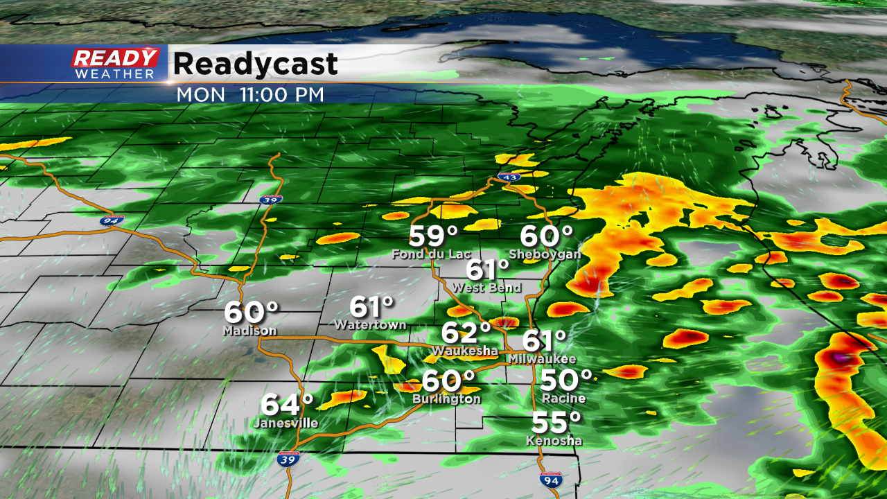
Thankfully flooding rainfall should miss us this time. At that time of the night we would likely see very low instability and a weakening of any storms.
Thick clouds cover from the morning rain and storms has started to clear. Under a mix of clouds and sunshine temperatures are starting to jump into the 70s. In addition to warmer temps, low level humidity is also present.
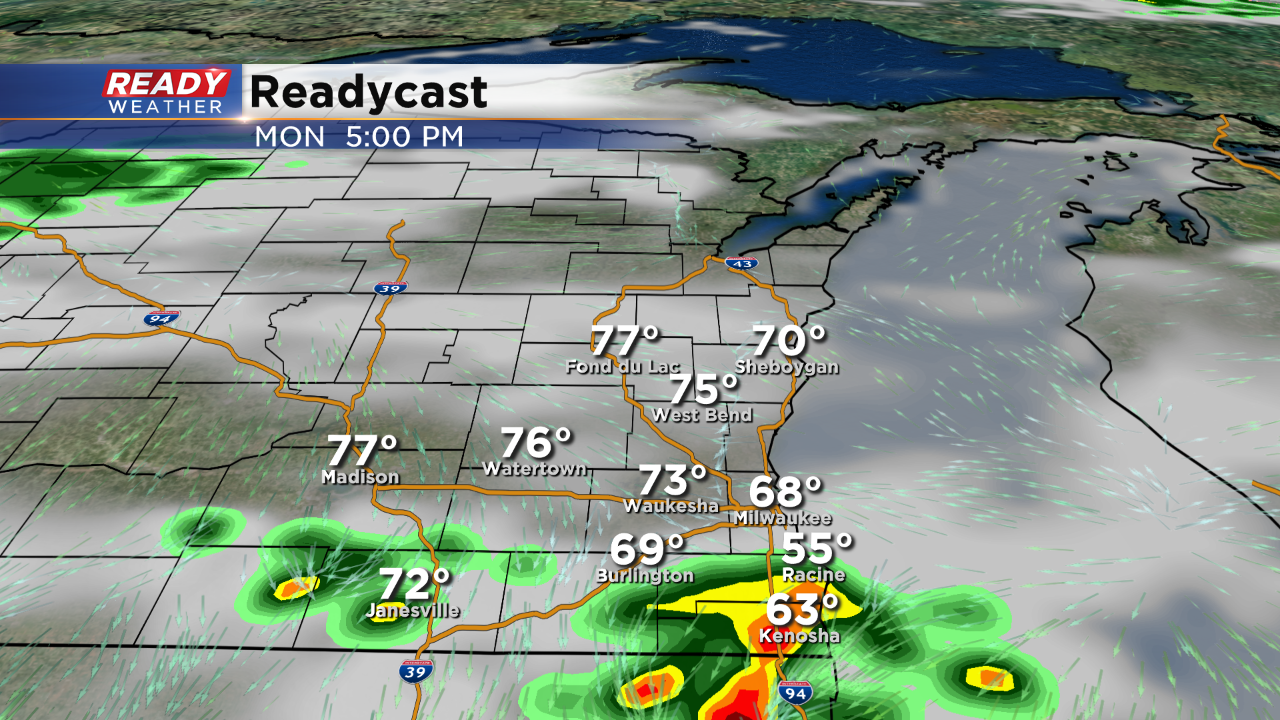
Increased instability this late afternoon could fuel additional showers and storms between 5 pm and 10 pm. Storms that do fire could produce hail and gusty winds.
Locally heavy rainfall could also accompany the stronger storms. Areas that picked up 1" to 3" of rain overnight will be very prone to flooding. Please stay away from flooded roads and rivers.
