A wind advisory has been issued for parts of the area. More rain arrives overnight.
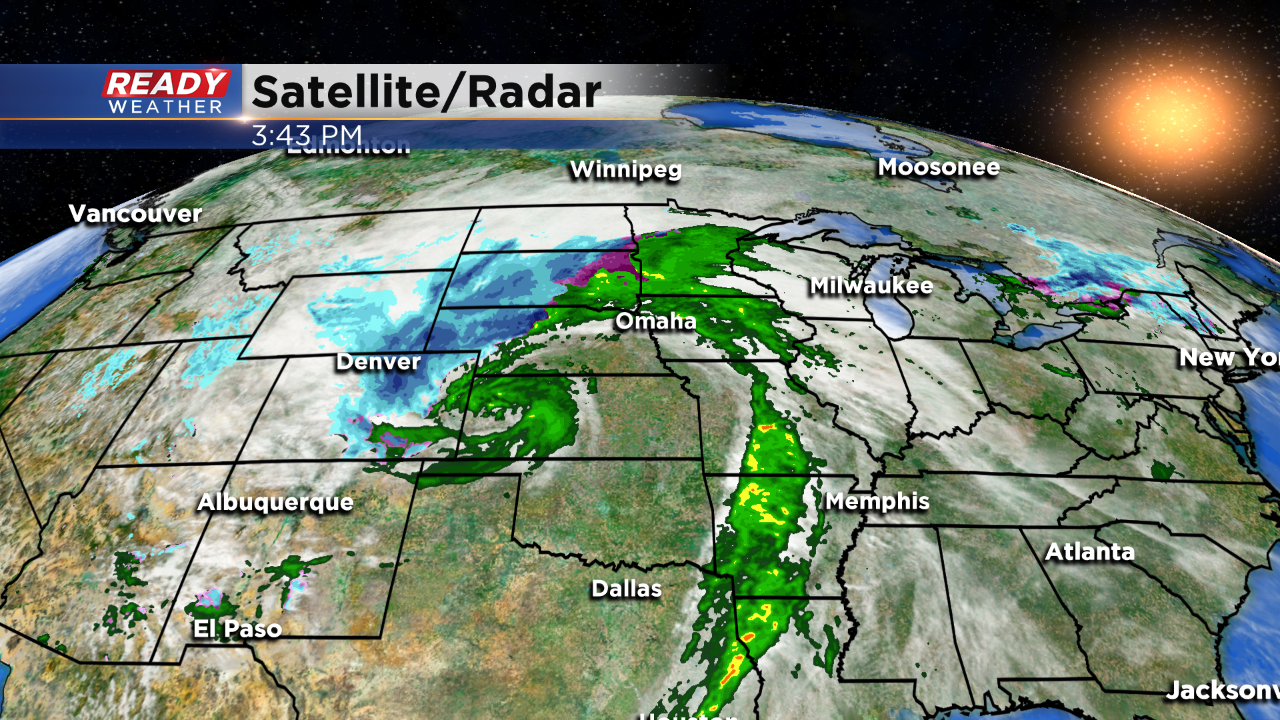
A powerful area of low pressure is creating a lot of forecasting changes for southeastern Wisconsin. More rain is expected to develop later tonight into Thursday morning. Another half an inch of rain is possible.
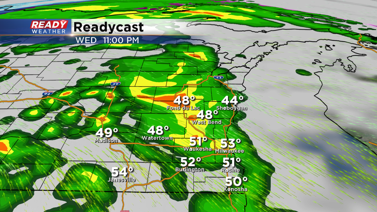
The flash flood watch remains in effect for the entire area until Friday morning. Snow melt and rainfall have combined for river flooding. This could get worse over the next 24 hours with our next round of rain and temperatures staying well above 32.
As the storm system arrives tomorrow expect the winds to gust over 40 mph. The NWS has highlighted the southern part of southeastern Wisconsin to have the best chance for wind gusts over 40 mph.
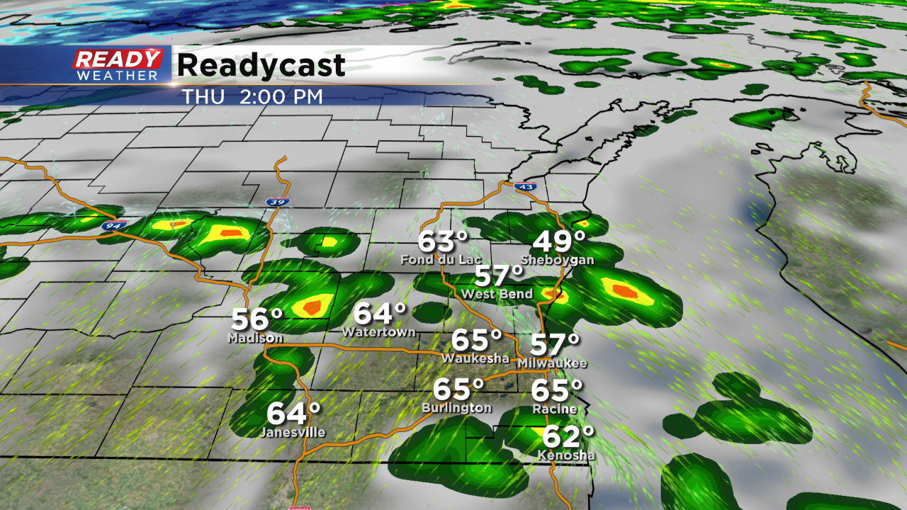
In addition to the winds, instability will likely produce scattered showers and storms throughout the day on Thursday, Highs could climb into the lower 60s. It's been 134 days since Milwaukee has been in the lower 60s.
Colder air wraps around on Friday with a chance for flurries and a high near 40.
