Friday AM Update: Slushy snow has ended, mix showers possible today


Updated: 6:47 a.m. Feb. 11, 2022
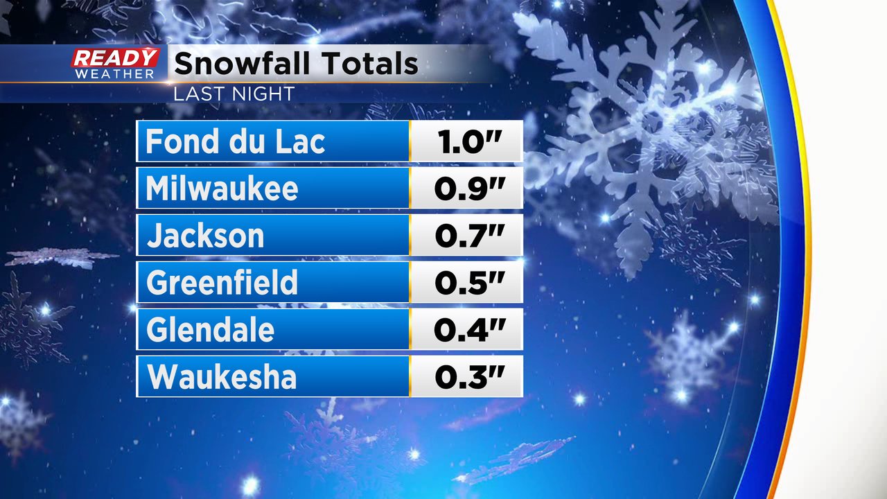
The steady snow came to an end between 2-3 AM. A few light rain and snow showers lingered through around 4 AM but since then most of southeast Wisconsin has been fairly dry besides a stray flurry or pocket of drizzle. Snow totals coming in Friday morning show anywhere from a dusting to around an inch of slushy snow.
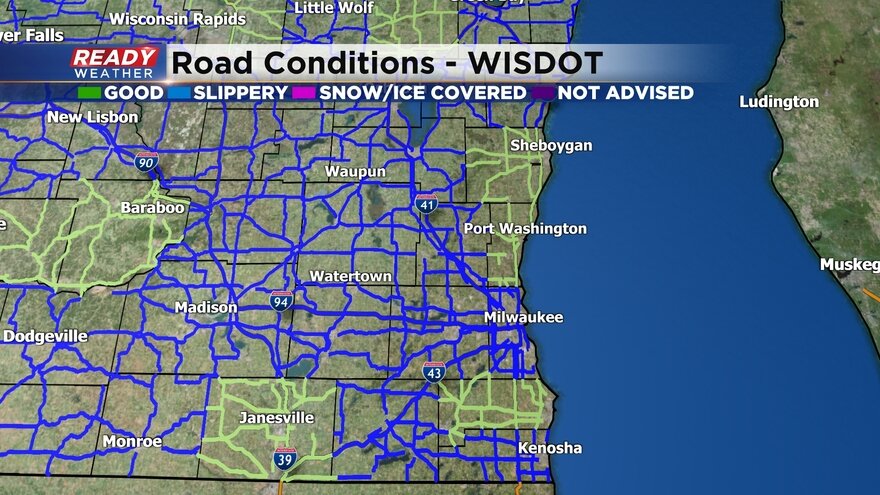
Road conditions early Friday morning showed lots of snow covered or slick spots but by 5 AM most of the road conditions were reported as good and just wet or slushy. The improvement in roads is thanks to some rain showers that fell as well as temperatures warming into the middle to upper 30s.
Here is a look at the road conditions courtesy of WI DOT that will update with time:
This will be the last update for this event.
------
Updated: 11:13 p.m. Feb, 10, 2022
The band of snow will continue through Midnight. Most of the accumulating snow will wrap up by 2-3 AM so it shouldn't impact either the Friday morning commute. A general dusting to 1" of snow will be possible with locally higher totals in our northern counties.

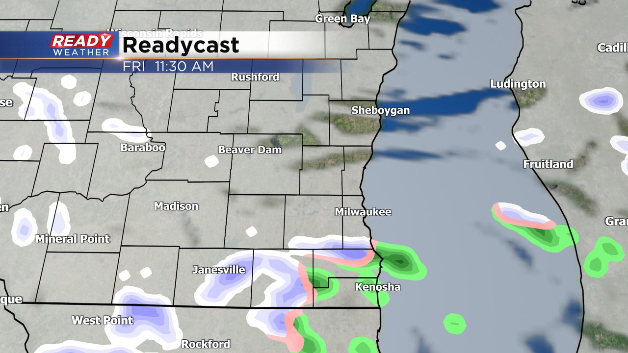
After the accumulating snow Thursday night we have the potential for some light snow, rain and mix showers throughout the rest of Friday. With temperatures warming into the upper 30s and low 40s during the day Friday none of the additional snow is expected to accumulate. Eventually we see sunshine return for Saturday.
Download the CBS 58 Ready Weather app to track the next round of snow.