6PM Update: Lingering drizzle may create more slick spots before midnight


Updated: Sunday December 5th 6:00 pm:
The measurable wintry mix has ended across most of southeast Wisconsin, but drizzle/freezing drizzle and fog are expected through the evening before the cold front arrives between 10pm-12am.
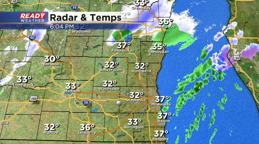
There's still a few slippery spots out there, and a few more may develop inland and on bridges and overpasses this evening thanks to the drizzle and fog.
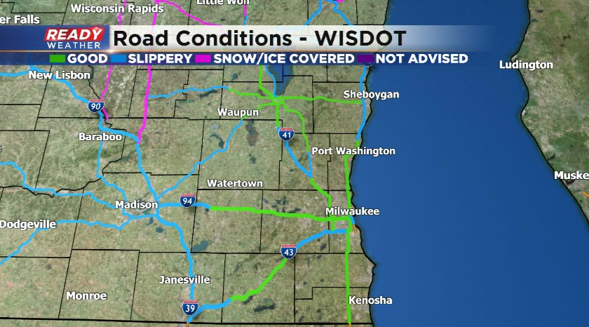
If you notice wet spots on the roads overnight and into early Monday, treat them as if they're slippery and slow down!
-----------------------------------------------------------------------------
Updated: Sunday, December 5th 1:20 pm:
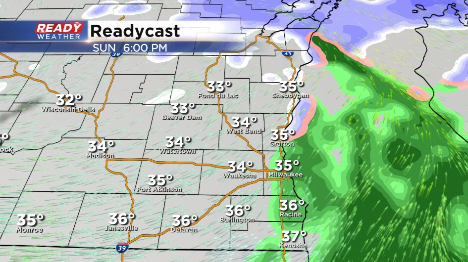
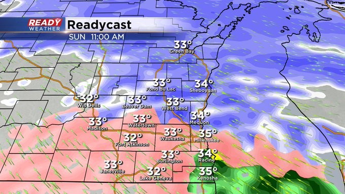
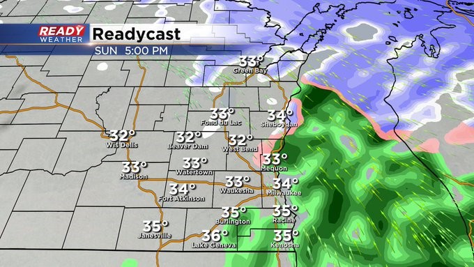
Temperatures quickly cooled close to the freezing mark this morning as the precip moved in, causing it to change over to snow before turning into more of a mix of rain/sleet/snow/freezing rain early this afternoon.
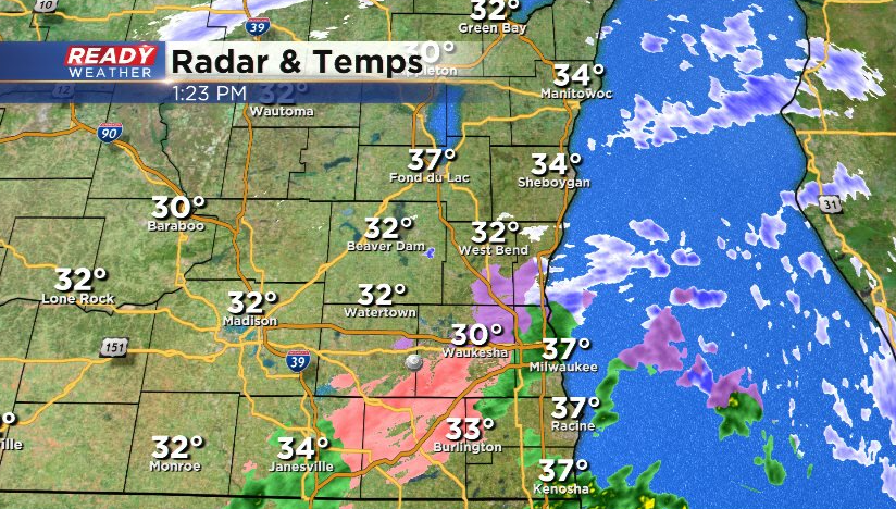
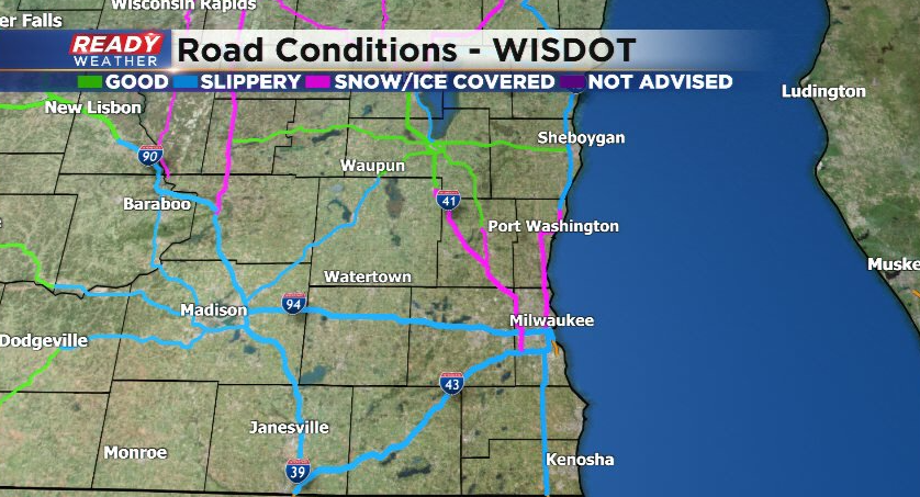
This wintry mix has created slick roads across southeast Wisconsin, with a few snowy roads mainly north of I-94.
Roads will be slick for a few more hours, but temps will rise a couple of degrees which should help melt the slush on the roads. Precip looks to wind down around 5-7pm.
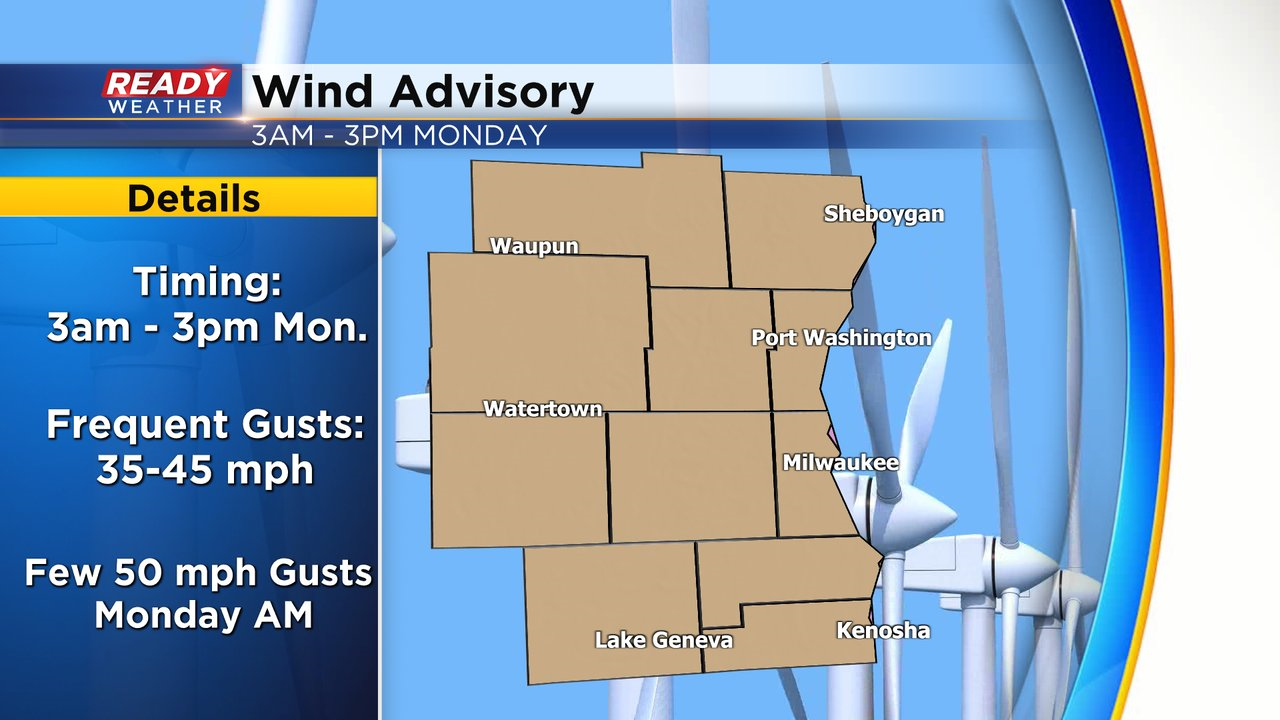
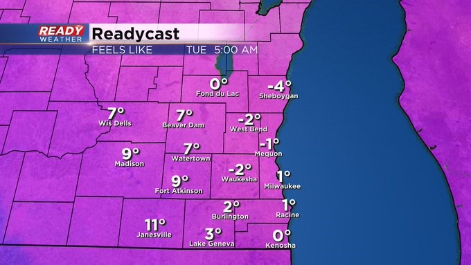
While we're seeing a break in the strong winds right now, gusts will start to ramp up tonight after a cold front moves through. Westerly winds gusting 35-45 mph are expected overnight into early Monday afternoon with a few gusts approaching 50 mph Monday morning. A Wind Advisory has been issued for all of SE WI from 3am-3pm Monday.
MILWAUKEE (CBS 58)--Right on cue. We get into December, and the weather pattern really starts to get active. For Sunday, look for a wintry mix and mess to break out from mid morning into the afternoon. We're talking about a range of wintry weather from snow, sleet, to freezing rain. There could be a glaze of accumulation, especially on bridges and overpasses, mainly north and west of the metro and away from the lake. Most of the mix should switch to rain into the afternoon, but it'll stay snowy well north of I-94.
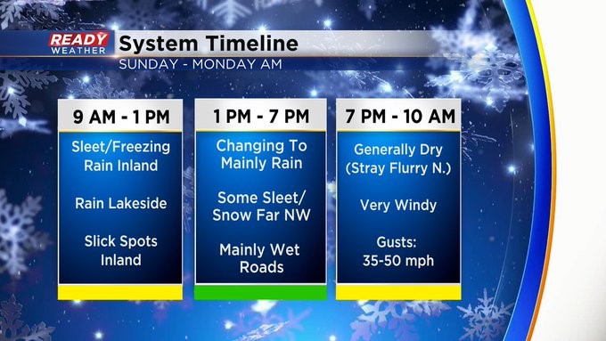
The focus starts to shift to wind this afternoon and evening and Monday. We'll be behind a front into early Monday. We'll have wind gusts from the west at 40 mph. Plus the temps will plummet during the day on Monday, mainly through the 20s. This will make it feel more like the single digits. Bundle up!
And then just about every other day it seems, we'll be dealing with quick moving storm systems, providing us with light bouts of wintry mix for the rest of the week. It could be a little more active late in the week. So stay tuned!